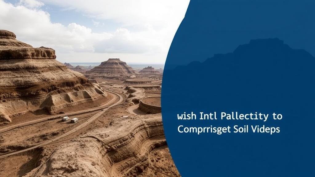
Using Soil Displacement Patterns to Predict Artifact Locations in High-Wind Zones
Using Soil Displacement Patterns to Predict Artifact Locations in High-Wind Zones
The challenges of conducting archaeological research in high-wind zones are significant, impacting the preservation of artifacts and the interpretation of archaeological sites. Understanding soil displacement patterns can serve as a key indicator for predicting where artifacts might be found. This article explores the methodologies, implications, and practical applications of soil displacement studies in archaeology, particularly in regions susceptible to strong winds.
The Basics of Soil Displacement
Soil displacement refers to the movement of soil particles caused by various factors, including wind, water, and human activity. In high-wind areas, such as deserts or coastal regions, wind erosion can significantly affect the surface layer of soil, redistributing particles and potentially displacing archaeological artifacts.
- Wind Erosion: High-velocity winds can remove fine particles from the surface, leading to the exposure of buried artifacts.
- Sand Dune Movement: Active sand dunes can bury artifacts or, conversely, reveal them through natural processes.
For example, in the Great Basin region of the United States, extensive studies have shown how persistent winds can both reveal and obscure archaeological features, emphasizing the need for predictive modeling based on soil displacement.
Predictive Modeling Techniques
To predict artifact locations using soil displacement patterns, researchers employ various quantitative and qualitative methodologies. One effective approach is Geographic Information Systems (GIS), which allows for the visualization and analysis of spatial data relevant to soil erosion and artifact distribution.
- Data Collection: Researchers first gather data on wind speed, duration, and direction, along with soil type and existing archaeological sites.
- Pattern Analysis: Statistical tools are applied to analyze soil displacement patterns over time, identifying areas most likely to retain artifacts.
An example can be seen in recent studies conducted along the southern coast of Australia, where scientists utilized GIS to monitor wind impacts on archaeological sites. Their predictive models successfully identified high-probability zones for artifact discovery based on soil displacement data gathered over multiple seasons.
Case Studies
Several case studies demonstrate the effective application of soil displacement patterns in predicting artifact locations. e studies provide insights into the techniques used and their implications for future archaeological research.
One notable case is the excavation of ancient dunes in the Arabian Peninsula. Researchers analyzed displaced soil layers and identified distinct stratification indicative of human activity. By correlating wind direction with the accumulation of artifacts, they successfully predicted artifact sites, leading to significant discoveries of both stone tools and ceramics.
Another relevant case study emerged from a coastal site in California, where archaeologists faced challenges from coastal erosion. By studying wind patterns and sediment movement, the team was able to expedite their excavations in newly exposed areas, uncovering critical evidence of ancient maritime cultures.
Challenges and Considerations
While using soil displacement patterns proves beneficial for artifact prediction, it is not without challenges. Variability in weather conditions, particularly unexpected shifts in wind patterns, can complicate predictions. Also, human impact on the landscape can introduce anomalies in soil displacement that may mislead researchers.
It is crucial, therefore, to incorporate a multi-disciplinary approach, combining geological data with historical records and local knowledge. Cross-referencing different types of data enhances the accuracy of predictions and minimizes the risk of overlooking crucial artifact deposits.
Conclusion and Actionable Takeaways
The integration of soil displacement pattern analysis within archaeological methodology offers a promising avenue for improving artifact prediction in high-wind zones. Through the use of technology such as GIS, combined with careful data collection and analysis, archaeologists can effectively navigate the complexities of these challenging environments.
- Adopt GIS and other spatial analysis tools to enhance predictive modeling accuracy.
- Conduct interdisciplinary research incorporating soil science, geography, and archaeology.
- Regularly monitor wind and weather patterns to inform site-specific excavation strategies.
By implementing these strategies, archaeological teams can increase their likelihood of successful site excavations, ultimately leading to a better understanding of human history in relation to environmental influences.


