Using Side-Scan Sonar to Locate Shipwrecks in Shallow and Deep Waters
Using Side-Scan Sonar to Locate Shipwrecks in Shallow and Deep Waters
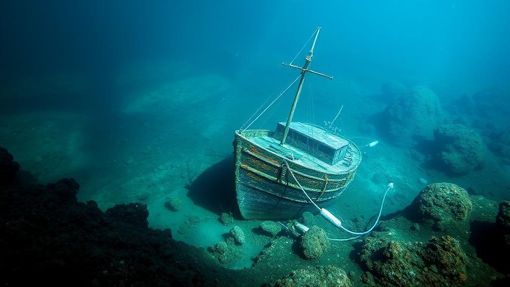
The exploration and recovery of shipwrecks, whether in shallow bays or the deep sea, has long captured the imagination of adventurers and historians alike. One of the most effective tools in locating these submerged treasures is side-scan sonar, a technology that uses sonar reflections to create detailed images of the seafloor. This article delves into the mechanics of side-scan sonar, its applications for locating shipwrecks at varying depths, practical case studies, and the future prospects of this vital technology.
Understanding Side-Scan Sonar Technology
Side-scan sonar operates on the principles of sonar technology, where sound waves are emitted and then reflected off objects on the seafloor. Unlike traditional sonar which sends signals directly beneath a vessel, side-scan sonar sends signals laterally, effectively scanning wide swathes of the ocean floor. This capability allows for the creation of two-dimensional images of underwater topography and objects.
Key components of a side-scan sonar system include:
- Transducer: This device emits sounds and receives echoes from underwater structures.
- Interpretation software: Specialized software interprets the sonar data to create visual maps of underwater landscapes.
- Deployment Platform: Side-scan sonar can be mounted on boats, towfish, or unmanned underwater vehicles (UUVs), enabling flexibility in operations.
The sonar system operates typically at frequencies between 100 kHz and 1 MHz, with lower frequencies providing greater penetration into deeper waters, while higher frequencies offer more detailed images in shallower depths.
Applications in Locating Shipwrecks
Side-scan sonar is a versatile tool used in various environments, making it essential for archaeologists, marine researchers, and recovery teams. The technology is utilized in both shallow waters, such as coastal regions and lakes, and deep-sea environments. Here’s how it operates in both contexts:
Shallow Water Applications
In shallow waters, side-scan sonar has proven particularly effective. For example, during the recovery of the sunken USS Arizona in Pearl Harbor, sonar scans provided vital information on the wrecks condition and orientation, assisting in recovery and preservation efforts. The data gathered allowed for an understanding of sedimentation patterns and possible structural integrity, guiding engineers in preserving the site.
Deep Water Applications
In deeper waters, the efficacy of side-scan sonar is equally significant. discovery of the Titanic wreck in 1985 was made possible through sonar imaging, where researchers utilized a towed side-scan sonar system to cover vast areas of the ocean floor. This advanced technology allowed them to identify significant debris fields and outline the perimeter of the wreck at a depth of approximately 12,500 feet.
Case Studies Highlighting Success
The success of side-scan sonar in locating shipwrecks is underscored by numerous case studies. Here are two notable examples:
The Andrea Doria
The Andrea Doria, an Italian ocean liner that sank off the coast of Nantucket in 1956, is another case where side-scan sonar technology demonstrated its efficacy. Following extensive sonar surveys, divers were able to locate the wrecks resting place at a depth of 240 feet. The detailed maps provided critical data to plan diving expeditions safely, confirming the ships position and orientation for archaeological study.
The USS Monitor
The first ironclad warship commissioned by the United States Navy also benefited from side-scan sonar technology during its recovery efforts. Conducted in the late 1990s, side-scan sonar helped locate various debris fields representing the Monitors remains on the ocean floor off North Carolina. Through systematic scanning, archaeologists documented the wreck, enhancing our understanding of Civil War naval history.
Limitations and Challenges
While side-scan sonar is invaluable, it is not without its limitations. Key challenges include:
- Cluttered Environments: Underwater debris, marine life, and varying seabed textures can complicate sonar readings, leading to false positives.
- Depth Constraints: Achieving clarity at greater depths requires sophisticated and expensive sonar systems which may not always be accessible.
- Seasonal Effects: Water conditions, like thermoclines and poor visibility caused by sediment or algal blooms, can impair sonar effectiveness.
Addressing these challenges often involves the integration of additional technologies, such as underwater photography or remotely operated vehicles (ROVs), to supplement the data gathered by side-scan sonar.
The Future of Side-Scan Sonar in Marine Archaeology
The future of side-scan sonar technology promises enhancements driven by advancements in artificial intelligence, machine learning, and increased automation. Innovators are developing algorithms that can automatically detect anomalies in sonar data, reducing the analysis burden on experts and allowing for quicker identification of potential shipwrecks.
Also, the integration of sonar data with Geographic Information Systems (GIS) can provide comprehensive environmental assessments and allow researchers to visualize the relationship between shipwrecks and their surrounding ecosystems better.
Conclusion and Actionable Takeaways
Side-scan sonar is an essential tool for marine archaeology and the recovery of historical shipwrecks, providing significant advantages in both shallow and deep water exploration. As technology evolves, its effectiveness will likely increase, promising exciting discoveries for future generations.
For those interested in marine history or archaeology, understanding and leveraging side-scan sonar can enhance exploration initiatives:
- Stay informed about advancements in sonar technology.
- Participate in workshops or courses on marine archaeology to benefit from hands-on training.
- Engage with local maritime organizations to learn about upcoming projects that may involve sonar technology.
By taking these steps, individuals can contribute to the preservation of maritime heritage and engage in the ongoing quest to unlock the secrets of the deep.


