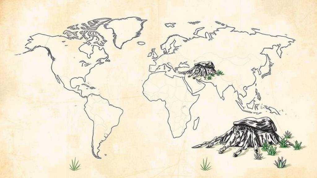
Using Old Explorers’ Sketches to Visualize Potential Relic Sites
Using Old Explorers’ Sketches to Visualize Potential Relic Sites
The investigation of ancient relics has always intrigued historians and archaeologists alike. One innovative approach to determine potential relic sites involves utilizing sketches made by old explorers. These sketches, often depicting landscapes, settlements, and geographical features, offer a unique window into historical contexts that can assist modern researchers in their quests.
The Historical Context of Explorers Sketches
Explorers during the Age of Discovery, from the 15th to the 17th centuries, were tasked not only with mapping new territories but also with documenting their cultures and discoveries. Notable figures such as Christopher Columbus, Ferdinand Magellan, and later, explorers like John Cabot and Samuel de Champlain created sketches that became invaluable historical documents.
- Christopher Columbuss journals contain numerous sketches from his voyages (1492-1504), providing insights into the Caribbeans early ecology and Indigenous populations.
- Samuel de Champlain’s maps of New France (1604-1632) illustrated the St. Lawrence River and its surroundings, laying groundwork for future archeological work in Canada.
These sketches not only reflect the explorers artistic talents but also serve as important evidentiary sources for understanding past landscapes and human activity.
Visualizing Relic Sites through Old Sketches
Old sketches can be digitally scanned and analyzed using geospatial technologies such as Geographic Information Systems (GIS). This technology allows researchers to overlay sketches onto current maps, providing a visual representation of the historical landscape. For example, using a sketch by Champlain, researchers can pinpoint where early settlements might correlate with current archaeological sites.
A study conducted on Champlains sketches of the Iroquois confederacy found that certain geographical features still existed, helping archaeologists narrow their search for potential relic sites in what is now New York state.
Case Studies: Successful Applications
Several notable applications highlight the effectiveness of using explorers sketches in locating potential relic sites:
- The Lewis and Clark Expedition: The sketches made during their famous expedition (1804-1806) depicted key locations along the Missouri River. Modern teams have used these sketches to rediscover and excavate sites along the river, yielding artifacts related to both Indigenous cultures and early American settlers.
- Captain Cooks Voyages: Sketches from Captain Cook’s journeys in the 18th century enabled archaeologists to investigate coastal regions of Australia and New Zealand. Sites identified from these sketches have resulted in significant findings, such as prehistoric canoe sheds and ceremonial sites.
Challenges and Limitations
Despite the promise of using explorers sketches, there are notable challenges that researchers face:
- Ambiguity in Interpretation: Sketches are often subjective and may not provide accurate representations of scale or features, leading to potential misinterpretations.
- Changes in Landscape: Natural and human-induced changes over centuries may render certain geographical markers unrecognizable, complicating the overlaying of historical sketches with current maps.
Addressing these challenges requires multi-disciplinary collaboration among historians, cartographers, and archaeologists to ensure accuracy and context in findings.
Future Directions and Technological Integration
The future of utilizing explorers sketches for archaeological exploration lies in advanced technology. integration of machine learning and artificial intelligence could enhance image recognition for identifying specific features in sketches that correlate with potential relic sites. For example, algorithms could detect patterns in geographical features that align with known archeological data based on previous excavations.
Also, 3D modeling and augmented reality (AR) can enhance site visualization for field researchers, allowing them to understand the historical context of their findings better. As technology continues to evolve, the bridge between the past and present will only grow stronger, offering new insights into historical explorations and human activities.
Conclusion
Utilizing old explorers’ sketches presents a compelling avenue for archaeological research. e artifacts, when paired with modern scientific techniques, illuminate historical landscapes, guiding researchers in locating potential relic sites. As the field of archaeology continues to embrace interdisciplinary approaches, the integration of historical sketches promises to deepen our understanding of past civilizations and enhance our ability to discover their remnants.
In practical terms, archaeologists should consider engaging with historical documentation, combining it with modern technologies. The potential for discovering new relics based on historical illustrations offers exciting prospects for future research and discovery.


