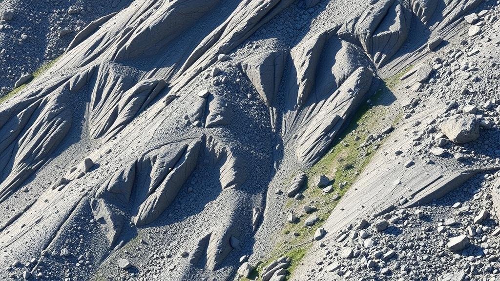
Using Natural Topography to Locate Gravel Pay Zones in Steep Terrain
Using Natural Topography to Locate Gravel Pay Zones in Steep Terrain
The extraction of gravel from steep terrain poses unique challenges in identifying economically viable pay zones. Natural topography, which includes the contour and slope of the land, plays a crucial role in determining where gravel deposits are located. This article aims to explore how topographical features can be analyzed to effectively locate gravel pay zones in such complex landscapes.
The Importance of Understanding Topography
Topography refers to the arrangement of the natural and artificial physical features of an area. In the context of gravel extraction, understanding topography is essential for several reasons:
- Resource Mapping: Knowledge of contours and slopes helps in mapping out the potential locations for gravel deposits.
- Access and Logistics: Steep terrains can complicate access to gravel locations; understanding slopes is vital for planning extraction routes.
- Environmental Impact: A thorough understanding can aid in minimizing ecological damage during the gravel extraction process.
Key Topographical Features to Analyze
To effectively locate gravel pay zones, several key topographical features must be taken into account:
- Elevation: Higher elevations may indicate ancient riverbeds or erosion zones where gravel has settled.
- Drainage Patterns: Analyzing how water drains from areas can reveal where sediment, including gravel, accumulates.
- Slope Steepness: Certain slopes are more conducive to sedimentation due to reduced erosion and increased deposition.
Case Study: The Appalachian Mountains
A real-world example of the importance of topography in gravel detection can be seen in the Appalachian region. Researchers conducted a study examining the relationship between slope steepness and gravel deposits. They found that areas with moderate slopes, ranging from 10% to 20%, tended to have increased gravel accumulation due to sediment deposition from incidental runoff.
Methods for Analysis
Several methods can be employed to analyze topography for gravel extraction:
- GIS Technology: Geographic Information Systems (GIS) allow for the detailed analysis of terrain and features over large areas.
- Remote Sensing: Using aerial and satellite imagery, researchers can identify land features that signify potential gravel deposits.
- Field Surveys: Ground truthing through direct surveys can validate findings from GIS and remote sensing methods.
Challenges in Steep Terrain Extraction
While utilizing natural topography to locate gravel pay zones provides significant advantages, various challenges must be navigated. e include:
- Access Difficulties: Steep terrains may limit vehicle and machinery access, complicating extraction processes.
- Regulatory Considerations: Environmental regulations may impose restrictions on extraction activities in sensitive ecosystems.
- Safety Risks: Steep slopes present risks such as landslides and equipment overturns, necessitating rigorous safety protocols.
Environmental Considerations
Understanding natural topography is not solely beneficial for identifying pay zones; it also plays a vital role in minimizing ecological impact. Proper analysis can inform strategies that protect surrounding environments, such as:
- Buffer Zones: Establishing buffer zones along sensitive waterways to prevent contamination.
- Rehabilitation Plans: Developing plans that consider natural contours to restore landscapes post-extraction.
Conclusion and Actionable Takeaways
Utilizing natural topography to locate gravel pay zones in steep terrain is a complex yet rewarding endeavor. By understanding and analyzing elevation, drainage patterns, and slope steepness, operators can effectively identify potential extraction sites while balancing the ecological implications of their work. integration of modern technologies such as GIS and remote sensing further enhances the effectiveness of these methods.
Practitioners in the field should consider adopting a comprehensive approach that combines topographical analysis with environmental sensitivity. These efforts can lead to successful gravel extraction projects that are economically viable while also being socially responsible.


