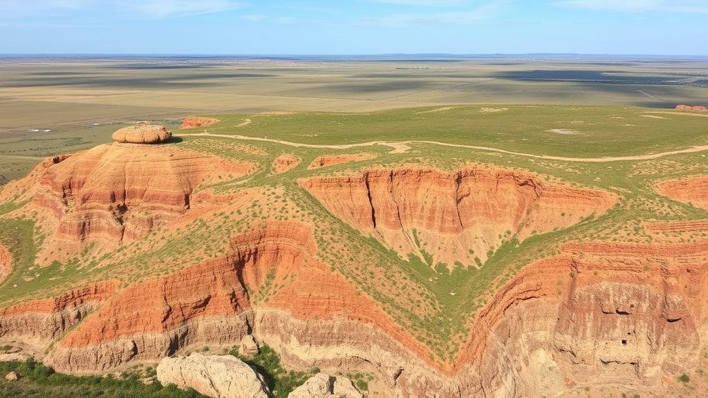
Using Natural Erosion Data to Pinpoint Likely Relic Sites
Using Natural Erosion Data to Pinpoint Likely Relic Sites
Natural erosion is a continuous process that not only shapes landscapes but also has significant implications for archaeology. By understanding how erosion affects various terrains, archaeologists can identify potential relic sites that may have been uncovered or altered by these natural forces. This article explores how natural erosion data can be utilized effectively to locate likely relic sites, integrating case studies and relevant methodologies.
The Role of Erosion in Archaeology
Erosion can be understood as both a destructive and revealing force. As soil, rocks, and vegetation are worn away by water, wind, and other elements, archaeological features can become exposed. In many cases, the natural removal of overlying materials can uncover artifacts, structures, or entire sites that would otherwise remain hidden. A study published in the Journal of Archaeological Science highlighted that over 60% of newly discovered sites were found due to erosion-related processes in areas previously deemed non-archaeologically significant.
Types of Erosion and Their Implications
There are several types of erosion that significantly affect archaeological landscapes, including:
- Water Erosion: Often occurs in river valleys and coastal areas, leading to the removal of layers of soil and revealing underlying structures.
- Wind Erosion: Common in arid regions, where fine particles are blown away, potentially exposing stone tools and burial sites.
- Glacial Erosion: In regions affected by past glaciation, the scraping action of glaciers can unearth relics embedded in the ground.
Understanding these types of erosion helps researchers predict where undiscovered sites might be located, taking into account geological and climatic conditions favorable for erosion to reveal historical materials.
Mapping Erosion Data for Site Location
The application of Geographic Information Systems (GIS) technology has revolutionized the way erosion data is analyzed and utilized for archaeological purposes. By mapping areas experiencing significant erosion, researchers can overlay this data with historical records, topographic maps, and previous excavation sites to identify potential locations for investigation.
For example, a GIS-based study in the American Southwest combined NASA Landsat imagery with aerial photographs to analyze erosion patterns over several decades. As a result, researchers successfully located multiple dwelling sites of the Ancestral Puebloans that had been obscured by sediment buildup over the years. This case illustrates how advanced mapping techniques can lead archaeologists to valuable historical locations that would otherwise remain undiscovered.
Field Techniques for Assessing Erosion
In conjunction with data analysis, field techniques play a critical role in verifying the likelihood of finding relics in eroded areas. Common methods include:
- Soil Testing: Involves sampling and analyzing soil layers to determine the presence of artifacts and the impact of erosion.
- Stratigraphic Excavation: Allows researchers to uncover the chronological layers of sediment, providing context for the artifacts found within them.
- Surface Surveying: A visual examination of the landscape can yield immediate findings, such as tool fragments or remnants of structures exposed by erosion.
Case studies from various regions show that these methods yield a wealth of information. In the U.K., surveys of coastal erosion sites have uncovered numerous Bronze Age artifacts, indicating that significant archaeological materials can often be located in areas expected to be inhospitable.
Challenges and Considerations
While leveraging natural erosion data can accelerate the discovery of archaeological relics, there are challenges associated with this approach. One major concern is the rapid loss of artifacts due to uncontrolled erosion, especially in vulnerable environments affected by climate change. National Park Service reports that many coastal archaeological sites in the U.S. face degradation due to rising sea levels and increased storm activity.
Also, the ethical implications of excavation need to be considered. Engaging with local communities and adhering to best practices in the preservation of cultural heritage is crucial when approaching newly discovered sites.
Conclusion: Actionable Takeaways
Utilizing natural erosion data to pinpoint likely relic sites enhances the efficiency of archaeological research and discovery. To maximize the potential of erosion data, researchers should:
- Integrate GIS technology into their planning and analysis phases.
- Combine field techniques with erosion data findings to verify site potentials.
- Stay informed on environmental changes and their impacts on archaeological sites to mitigate loss.
By strategically employing natural erosion data, archaeologists can uncover a wealth of historical information, enrich our understanding of past cultures, and ensure that these relics are preserved for future generations.


