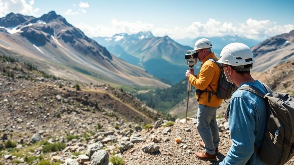
Using Geological Surveys to Identify Mineral Deposits in Mountain Regions
Using Geological Surveys to Identify Mineral Deposits in Mountain Regions
The pursuit of mineral deposits in mountain regions is a complex, resource-intensive process that significantly impacts economic development, environmental management, and land-use policies. Geological surveys play a pivotal role in this endeavor, enabling geologists and other stakeholders to identify, assess, and manage mineral resources effectively. This article explores the methodologies, technologies, and case studies related to geological surveys focused on mineral deposits in mountainous terrains.
The Role of Geological Surveys
Geological surveys involve detailed mapping and analysis of the Earths structure, composition, and processes. In mountain regions, these surveys are crucial for understanding geological formations, identifying potential mineral deposits, and evaluating the feasibility of extraction operations. The primary objectives of geological surveys include:
- Characterizing rock types and mineralogy
- Mapping geological structures such as faults and folds
- Assessing environmental impacts and risks associated with mineral extraction
For example, the United States Geological Survey (USGS) conducts extensive surveys that provide critical data on mineral resources, informing both private companies and public policy decisions.
Techniques Used in Geological Surveys
Several techniques are employed in geological surveys to identify mineral deposits, each with its strengths and limitations. Key methods include:
- Field Mapping: Geologists conduct physical surveys of rock outcrops to identify mineral concentration patterns and mapping geological features. Rigorous fieldwork is often the first step in understanding the geological context of an area, especially in remote or rugged mountain regions.
- Geochemical Analysis: Soil and rock samples are analyzed for their chemical composition. High concentrations of certain elements, such as copper or gold, may indicate the presence of underlying mineral deposits. For example, the analysis of stream sediments in the Andes has led to significant discoveries of metal deposits.
- Geophysical Surveys: Techniques such as magnetic, electromagnetic, and resistivity surveys allow geologists to infer the presence of minerals without extensive excavation. e surveys can effectively identify subsurface features and are invaluable in mountainous regions where surface visibility may be limited.
A combination of these techniques often yields the best results, helping researchers create comprehensive geological models that predict mineral locations.
Case Studies of Successful Mineral Identification
There are numerous examples worldwide of successful mineral identification through geological surveys in mountainous areas. One prominent case is the discovery of the Cobre Panama project. This project, located in the rugged terrain of Panama, was the result of extensive geological and geochemical surveys that identified a significant copper-gold porphyry system. success of this endeavor demonstrates the effectiveness of integrating geological surveys with advanced technology, such as three-dimensional geological modeling.
Another example is the exploration of lithium deposits in the Lithium Triangle of South America, encompassing parts of Argentina, Bolivia, and Chile. Geophysical surveys combined with geochemical sampling have revealed vast lithium brine resources, vital for the ever-growing electric vehicle battery industry. The socio-economic implications of these discoveries highlight the importance of targeted geological surveys in mineral exploration.
Challenges in Mountainous Terrain
While the potential for mineral discovery in mountain regions is significant, it is accompanied by unique challenges that surveyors must navigate. e include:
- Accessibility: Rugged topography can make it difficult for surveying teams to reach remote areas effectively. High-altitude and steep terrains necessitate the use of specialized equipment and careful planning.
- Environmental Concerns: Mountain environments are often ecologically sensitive, and exploration activities can disturb local wildlife and ecosystems. Geological surveys must factor in environmental regulations and potential impacts in their planning.
- Weather Conditions: Harsh weather can limit the time available for fieldwork and can affect the reliability of survey results. Seasonal weather patterns often determine the viability of exploration timelines.
Addressing these challenges may require innovative approaches, such as using drones for aerial surveys or employing environmental management systems to mitigate impacts.
Conclusion and Actionable Takeaways
Geological surveys are vital tools for identifying mineral deposits in mountain regions, combining a variety of techniques to assess potential sites efficiently. Successful case studies illustrate the effectiveness of these surveys, although several challenges remain. To maximize the benefits of geological surveys in mineral exploration, stakeholders should consider the following:
- Invest in modern technologies to enhance accuracy and efficiency in surveys.
- Prioritize environmental assessments to balance economic interests with ecological preservation.
- Develop collaborative frameworks with local communities to address accessibility and socio-environmental concerns.
Through strategic utilization of geological surveys, stakeholders can make informed decisions about mining operations, ultimately promoting sustainable resource management in mountain regions.


