Using Geological Anomaly Maps to Predict Gem and Mineral Vein Locations
Using Geological Anomaly Maps to Predict Gem and Mineral Vein Locations
The quest for valuable gems and mineral resources has long been a priority for geologists and mining companies, particularly in regions with known geological richness. The use of geological anomaly maps serves as a significant tool in this endeavor, providing critical insights regarding the underlying geology, mineral composition, and potential locations of mineral veins. This research article aims to explore the effectiveness of geological anomaly maps in predicting gem and mineral vein locations, detailing methodologies, case studies, and future directions for research.
Geological Anomalies: Definition and Importance
Geological anomalies refer to areas that exhibit deviations from the expected geological conditions. e anomalies may manifest through variations in mineral content, alterations in rock types, or changes in structural features such as faults and folds. Understanding and identifying these anomalies is crucial for locating economically significant mineral deposits.
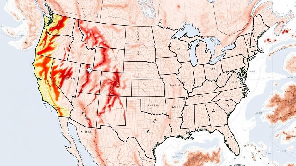
Geological anomaly maps visually represent these deviations, illustrating potential mineralization zones. Their importance lies in:
- Enhancing exploration efficiency by directing resources toward high-potential areas.
- Reducing exploration costs through targeted geological surveys.
- Improving the precision of predictive models used to locate mineral deposits.
Methodologies for Creating Geological Anomaly Maps
Several methodologies contribute to the development of geological anomaly maps, aligning closely with advances in technology and data analysis. Key approaches include:
- Geochemical Analysis: This involves collecting soil, rock, and sediment samples for laboratory analysis. Statistical techniques, such as multivariate analysis, help identify regions with significantly high or low concentrations of specific minerals.
- Geophysical Surveys: Techniques such as magnetic surveys, resistivity measurements, and radiometric assessments provide indirect information about subsurface geology. These methods reveal anomalies related to density differences or electromagnetic responses of various minerals.
- Remote Sensing: Satellite imagery and aerial surveys allow for the rapid collection of geospatial data. Spectrum analysis helps identify mineral compositions based on reflectance properties.
Case Studies: Successful Applications
The Witwatersrand Basin, South Africa
The Witwatersrand Basin, renowned for its gold deposits, showcases the successful application of geological anomaly maps. In the mid-20th century, geologists employed geochemical mapping techniques that utilized anomalies in metal concentrations within sediments, leading to the discovery of significant gold-rich veins. This area produced over 40,000 tons of gold, underscoring the efficacy of anomaly maps in exploration.
The Andes Mountains, South America
The Andes, one of the richest regions for copper and gold mining, benefits from extensive geophysical surveys. In Chile, for instance, airborne magnetic surveys revealed subsurface structures indicative of porphyry-type deposits. By overlaying geological anomaly maps with known mineralization zones, mining companies could target drilling locations with a higher probability of successful extraction.
The Appalachian Region, United States
In the Appalachian region, geological anomaly maps have aided in the identification of gem-quality minerals, including garnets and emeralds. The correlation of local geological features with anomalies in mineral compositions has led to successful mining ventures in areas once deemed non-prospective. As of 2023, the ongoing exploration has yielded significant findings, demonstrating the potential of geological anomaly maps in multifaceted mineral assessments.
Challenges and Future Directions
While geological anomaly maps are invaluable, various challenges persist. Data interpretation can be complex, often requiring multi-disciplinary expertise. Also, anomalies may be influenced by superficial geological processes, leading to potential misinterpretations.
Future research should focus on:
- Integrating machine learning and artificial intelligence to improve data processing and anomaly detection.
- Enhancing the resolution of geophysical surveys to provide more detailed subsurface images.
- Conducting longitudinal studies to monitor changes in geological anomalies and their implications for mineral exploration.
Conclusion
The use of geological anomaly maps has revolutionized gem and mineral exploration, providing critical insights into potential vein locations. As technologies advance, the accuracy and applicability of these maps will likely improve, facilitating the discovery of economically viable mineral deposits. Future investments in research and exploration methodologies will be essential to harness the full potential of geological anomaly maps.
Key takeaways for industry practitioners include the necessity of combining various geological methods, staying abreast of technological advancements, and prioritizing data integrity to improve predictions related to gem and mineral locations.


