Using Fire Insurance Maps to Pinpoint Historical Structures and Hidden Relics
Using Fire Insurance Maps to Pinpoint Historical Structures and Hidden Relics
Fire insurance maps, also known as Sanborn maps, are invaluable resources for historical research and urban studies. Created primarily in the late 19th and early 20th centuries, these maps illustrate the layout of towns and cities, detailing the materials and dimensions of buildings alongside fire hydrant locations and property boundaries. This article explores how fire insurance maps can be instrumental in identifying historical structures and uncovering hidden relics, thus serving as a crucial tool for historians, archeologists, and urban planners.
Understanding Fire Insurance Maps
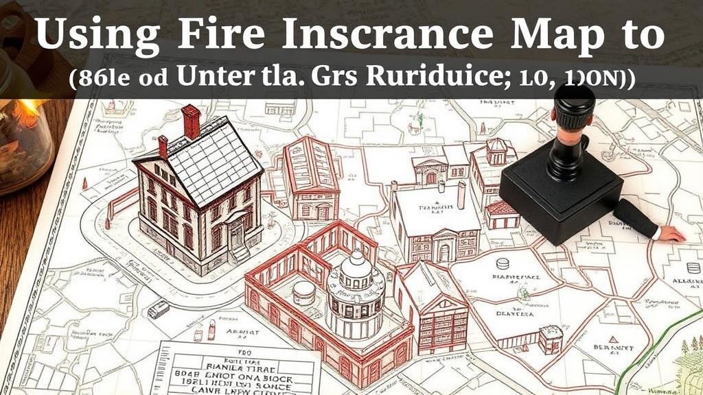
Fire insurance maps originated in the United States during the 1860s, with the Sanborn Map Company leading their production. Initially, their primary function was to help insurance underwriters assess fire risks associated with buildings in urban environments. Each map typically included:
- Building footprints showing the dimensions and construction materials
- Street names and block numbers
- Hydrants and other fire prevention resources
These maps often provide a detailed snapshot of a given location during a specific period, making them essential for pinpointing historical structures.
Applications in Historical Research
One key application of fire insurance maps is in historical research, particularly in the study of urban development and architectural history. For example, the city of Chicago underwent a significant transformation after the Great Fire of 1871. By analyzing Sanborn maps from the post-fire era, researchers can trace the reconstruction patterns and the emergence of commercial districts, residential neighborhoods, and public spaces.
Also, fire insurance maps can help in the restoration of historical properties. In the state of Pennsylvania, the restoration of buildings in places like Gettysburg has relied heavily on these maps to ensure the architectural integrity and historical accuracy of renovations.
Identification of Hidden Relics
Fire insurance maps can also serve as a guide for locating hidden relics of the past, such as old foundations, infrastructure, or even remnants of demolished structures. These maps are indispensable in archaeological digs, as they provide the context necessary to understand the historical landscape of a site.
For example, in New York City, excavations for modern construction often uncover remnants of earlier structures. Archaeologists use fire insurance maps to identify sites of known historical significance, leading to important findings, such as the rediscovery of historic street layouts and buried artifacts dating back centuries.
Case Studies
Several successful projects illustrate the effectiveness of using fire insurance maps to pinpoint historical structures and relics. In Los Angeles, the preservation efforts of the historic Olvera Street and the adjoining buildings were informed by Sanborn maps from the early 20th century. These maps documented the area’s rapid urbanization and helped identify structures that contributed to the city’s cultural history.
Also, in the city of Boston, a collaborative project between local historians and the Boston Planning and Development Agency utilized fire insurance maps to map the historical development of neighborhoods. This effort resulted in a comprehensive digital archive that supports both public education and future preservation projects.
Challenges and Limitations
Despite their usefulness, there are inherent challenges in using fire insurance maps for historical research. The following limitations should be considered:
- Incompleteness: Not all buildings may have been surveyed, leading to gaps in the historical record.
- Precision: The accuracy of the maps can vary, with some drawn from incomplete data or artistic license.
- Interpretation: Understanding the context of the symbols and notations requires expertise.
Conclusion
Fire insurance maps are more than mere historical artifacts; they are powerful tools for deciphering the architectural evolution of cities and uncovering hidden layers of history. By leveraging these maps, researchers and practitioners can make informed decisions regarding preservation, restoration, and urban planning.
Incorporating fire insurance maps into historical investigations unlocks opportunities for deeper understanding of urban landscapes and facilitates the continuous dialogue about heritage and identity. As such, ongoing efforts to digitize and make these maps accessible will prove essential for future research endeavors.
Actionable Takeaways
- Consider fire insurance maps as valuable resources in historical research projects.
- Use the data on these maps to inform restoration and preservation efforts in your local area.
- Engage with local historical societies or academic institutions to learn more about accessing and interpreting these maps.


