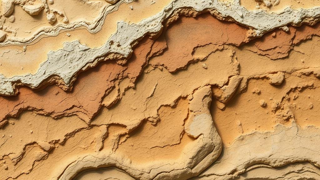
Using Erosion Patterns to Predict Locations of Exposed Fossils
Using Erosion Patterns to Predict Locations of Exposed Fossils
The study of fossilized remains is crucial, providing insights into the biological and geological history of Earth. Erosion patterns, which dictate the geological landscape, significantly impact fossil preservation and exposure. This article explores how understanding erosional processes can enhance the prediction of fossil locations. Utilizing geological principles and case studies, we will demonstrate the relationship between erosion and fossil visibility, while highlighting various methodologies for predicting fossil locations based on these patterns.
Understanding Erosion and Fossils
Erosion is the process through which materials are removed from the Earths surface, leading to changes in landforms. It can be caused by various factors such as water, wind, and ice, each contributing to the geological landscape where fossils can be found. In many cases, fossils exist in sedimentary rocks formed from consolidated sediments. When erosion exposes these sedimentary layers, fossils become visible. So, by analyzing erosion patterns, scientists can identify potential sites for fossil recovery.
The Role of Erosion in Fossil Exposure
Diverse erosion mechanisms affect fossil exposure in various geological settings:
- Water Erosion: Rivers and streams can erode the banks and beds, exposing fossils in sedimentary layers. Notable examples include the Green River Formation in Wyoming, where intense water erosion has revealed a significant number of well-preserved fossils.
- Wind Erosion: In arid environments, wind can erode the surface layers of sedimentary rocks, exposing fossils that might otherwise remain buried. Badlands National Park in South Dakota is a prime example, showcasing how wind erosion has revealed rich fossil deposits.
- Glacial Erosion: In regions affected by glaciation, ice can carve through sediments, exposing ancient life forms locked within. The Lewisian Gneiss in Scotland, dating back over 3 billion years, contains fossils exposed due to this erosional process.
Methodologies for Predicting Fossil Locations
Utilizing erosion patterns to predict fossil locations involves a combination of geological mapping, remote sensing, and field surveys. Various methodologies can facilitate the identification of areas with high fossil exposure potential:
Geological Mapping
Geological maps illustrate the distribution and types of rocks in a given area. By analyzing sedimentary rock formations that are susceptible to erosion, paleontologists can target locations more likely to yield fossils. For example, the use of Mishra et al. (2021) highlighted the correlation between sedimentary structures and fossil yield in the marine environments of the Mediterranean region.
Remote Sensing Technologies
Satellite imagery and aerial photography have revolutionized the way researchers identify erosion patterns over large geographic areas. e technologies allow for the examination of landforms and surfaces, indicating areas where erosion has occurred. For example, in certain regions of La Brea Tar Pits, Los Angeles, remote sensing has uncovered subsurface layers where fossils are more likely to be exposed due to previous erosional activities.
Field Surveys and Erosion Studies
Fieldwork remains a cornerstone of paleontological research. Conducting surveys in identified areas with significant erosion can yield immediate results. Specific case studies, such as the findings in Fossil Butte National Monument, showed that systematic erosion monitoring can lead to the discovery of new fossil localities.
Real-World Applications
The applications of predicting fossil locations through erosion studies are far-reaching:
- Educational Outreach: Enhancing curricula by integrating practical erosion studies allows students to explore geological processes directly.
- Conservation Efforts: By identifying high-risk areas subject to erosion, conservationists can implement measures to protect these invaluable fossil sites.
- Scientific Research: Improved methods of locating fossils can accelerate research in paleoenvironments and evolutionary biology.
Conclusion
To wrap up, erosion patterns play a vital role in determining the visibility and accessibility of fossils. By deploying geological mapping, remote sensing, and rigorous field surveys, researchers can predict fossil locations with increased accuracy. Understanding the dynamics of erosion can lead to more successful fossil discoveries and allow for enhanced conservation strategies. Future research could further refine these methodologies, potentially revealing undiscovered paleontological treasures as we continue to explore the depths of Earths biological history.
For researchers, policymakers, and educators, the call to action is clear: leveraging erosion studies enables a smarter approach to fossil recovery and preservation, ensuring that the rich tapestry of lifes history remains accessible for generations to come.


