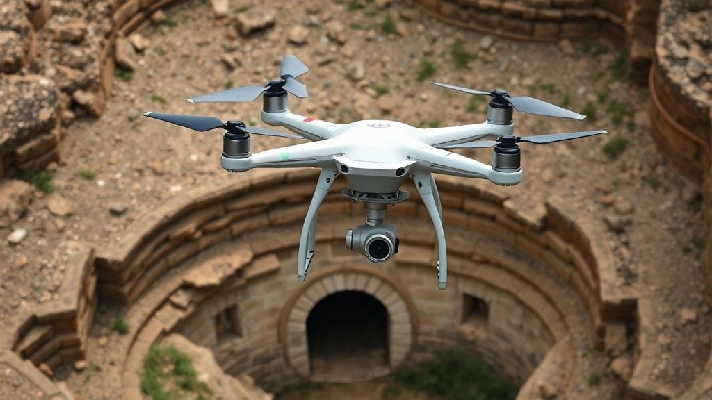
Using drones and remote sensing to locate lost cities and tunnel entrances.
Using Drones and Remote Sensing to Locate Lost Cities and Tunnel Entrances
In recent years, advanced technology has transformed archaeological practices, particularly through the use of drones and remote sensing. These innovative tools have proven invaluable in uncovering lost cities and revealing hidden tunnel entrances that have eluded researchers for centuries. This article delves into the methodologies, successes, and future implications of using these technologies in archaeology.
The Technology Behind Drones and Remote Sensing
Drones, or unmanned aerial vehicles (UAVs), equipped with high-resolution cameras and sensors are capable of capturing vast geographical areas quickly and efficiently. Remote sensing, on the other hand, involves gathering data about an object or area from a distance, typically through satellite or aerial imagery. Together, these technologies allow archaeologists to survey large land areas without disturbing the soil.
For example, Light Detection and Ranging (LiDAR) is a remote sensing method that measures distances by illuminating a target with laser light and analyzing the reflected light. This technique can penetrate dense vegetation, making it particularly useful in jungle-covered regions where manual excavation is impractical.
Successful Applications in Archaeology
Several notable projects have showcased the effectiveness of drones and remote sensing in locating lost cities.
- Angkor Wat, Cambodia: In 2012, an extensive LiDAR survey of the Angkor Wat archaeological complex uncovered a sprawling urban network previously hidden beneath the jungle. This survey revealed not only the temples but also the extensive road systems and water management systems that supported a vast civilization.
- Teotihuacan, Mexico: In 2017, a team of researchers used drones to create a 3D map of Teotihuacan, known for its monumental pyramids. The aerial surveys revealed the presence of previously unknown residential areas and possible tunnel entrances, indicating the complexity of this ancient metropolis.
- Pompeii, Italy: Drones have also been employed in the conservation of Pompeii. Remote sensing technology allows archaeologists to monitor the state of the ruins and identify sections that may require restoration, preserving history for future generations.
Analyses and Findings
The data captured by drones and remote sensing technology are subjected to various analyses, which are crucial for interpreting archaeological findings. For example, researchers utilize Geographic Information Systems (GIS) to process and visualize spatial data, enabling them to analyze the relationship between different archaeological features. This can lead to insights about ancient societies’ structures, such as how they organized their living spaces or managed resources.
Also, the integration of thermal imaging as part of remote sensing technology has proven particularly valuable. Thermal sensors can detect temperature differences in the ground, which may indicate buried structures, walls, or tunnel systems that are not visible at the surface.
Challenges and Limitations
While the use of drones and remote sensing technologies holds immense potential, there are challenges associated with their implementation. One significant concern is the cost of sophisticated equipment and software. High-quality LiDAR systems or advanced UAVs can require substantial investment, which may not be feasible for all archaeological projects.
Also, regulatory issues surrounding airspace and permits can impede research progress. Many countries have strict regulations concerning drone flights, requiring archaeologists to navigate complex legal landscapes.
The Future of Archaeological Exploration
The future of archaeology appears bright with the continued advancement of drone and remote sensing technologies. As equipment becomes more affordable and easier to use, it is expected that more researchers will incorporate these methods into their work.
Plus, collaboration among technologists, archaeologists, and local communities will be crucial in ensuring that discoveries are preserved for future generations. For example, community engagement can provide invaluable local knowledge that may assist in targeting areas of interest.
Actionable Takeaways
- Consider investing in training for archaeologists and fieldworkers to effectively use drone and remote sensing technologies.
- Collaborate with technologists to develop cost-effective solutions tailored for specific archaeological needs.
- Stay informed about regulations related to drone use in your region to facilitate smoother project implementation.
To wrap up, the marriage of technology and archaeology through the use of drones and remote sensing has opened new avenues for exploration and discovery. The potential to unearth lost cities and hidden tunnels not only advances our understanding of ancient civilizations but also illustrates the remarkable capabilities of modern technology in the quest for knowledge.


