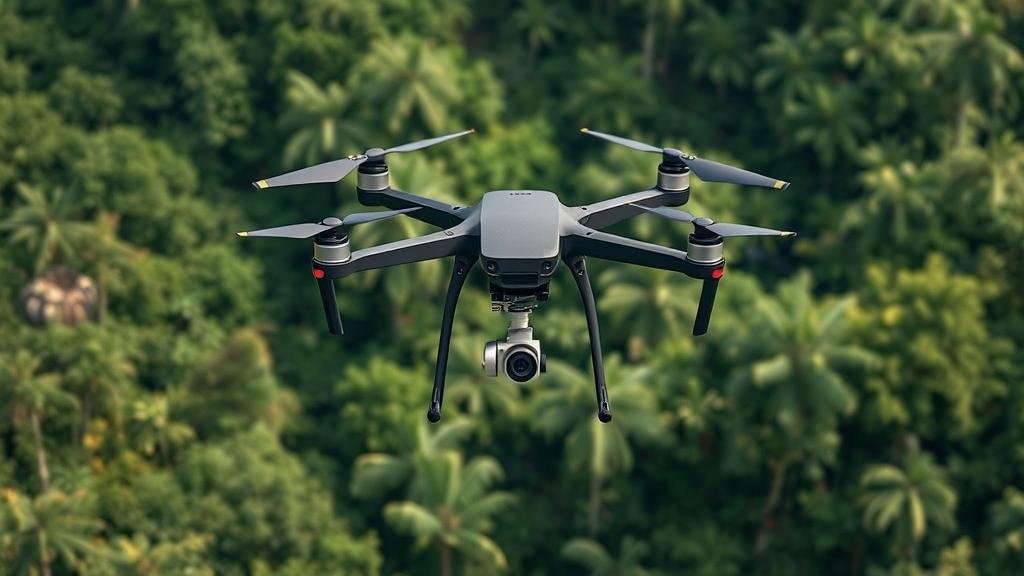
Using drone technology to map unexplored jungle terrain.
Using Drone Technology to Map Unexplored Jungle Terrain
In recent years, drone technology has revolutionized the field of geography and environmental science, providing unprecedented capabilities for mapping and exploring previously inaccessible jungle terrains. The integration of drones into exploration not only assists researchers in gathering data but also opens new avenues for conservation efforts, wildlife monitoring, and cultural preservation.
The Advent of Drone Mapping
The use of drones, or unmanned aerial vehicles (UAVs), for mapping purposes began to gain traction in the early 2010s. Prior to this, traditional methods of mapping jungles relied heavily on satellite imagery and ground surveys, which were often time-consuming and limited in detail. According to a 2021 report from the Journal of Remote Sensing, drone technology increases mapping accuracy by up to 80% compared to conventional methods, offering a significant leap forward in capturing high-resolution images and topographical data.
Case Studies of Drone Applications
Several significant case studies illustrate the effectiveness of drones in mapping unexplored jungle terrain:
- The Amazon Rainforest, Brazil (2019): Researchers from the University of California deployed drones equipped with LiDAR (Light Detection and Ranging) technology to map the intricate canopy structures and forest floor of the Amazon. This project revealed previously unknown ancient geoglyphs and a complex landscape of human interaction with the environment, demonstrating the capabilities of drone technology in uncovering hidden histories.
- The Mesoamerican Biogeographic Region (2020): The use of drones in the jungles of Central America allowed scientists to monitor biodiversity and habitat degradation due to deforestation. The data collected facilitated the identification of critical areas for conservation efforts, showcasing how drones can enhance ecological understanding.
Technical Innovations Enhancing Drone Capabilities
The advancements in drone technology are multifaceted, including improvements in battery life, payload capacity, and imaging technology. Modern drones can now operate for extensive periods (up to 90 minutes) and cover vast areas in a single flight. Key advancements include:
- High-Resolution Imaging: Drones equipped with multi-spectral and thermal cameras can provide detailed insights into vegetation health and animal populations, enabling researchers to assess ecosystem health.
- Automated Flight Paths: Software algorithms allow researchers to create pre-defined flight paths, ensuring comprehensive coverage of the terrain while minimizing human error.
Environmental and Ethical Considerations
While the benefits of using drones for mapping are clear, ethical considerations must also be addressed. The potential for disturbances in delicate ecosystems is a serious concern. Drones can disrupt wildlife, particularly during nesting and breeding seasons. As such, researchers must adhere to guidelines that prioritize minimal disturbance, such as:
- Conducting thorough pre-flight assessments of wildlife activity.
- Establishing altitude limits to avoid direct interference with fauna.
Real-World Applications and Future Prospects
The benefits of drone mapping extend beyond academia; they have practical applications in various industries:
- Conservation Efforts: Drones provide vital data for the protection of endangered species and habitats, helping organizations to develop targeted strategies for conservation.
- Tourism Development: Decoding unexplored terrains fosters responsible tourism, allowing local economies to benefit without compromising ecological integrity.
Looking ahead, the integration of artificial intelligence (AI) with drone technology promises even greater advancements. AI algorithms can analyze large datasets rapidly, providing real-time information that can be used for crisis management during natural disasters or illegal logging activities.
Conclusion
The deployment of drone technology in mapping unexplored jungle terrain represents a significant breakthrough in environmental science and conservation efforts. As this technology continues to evolve, it presents endless opportunities for researchers and policymakers alike to better understand and protect some of the worlds most biodiverse ecosystems. Investing in and embracing drone technology not only enhances our mapping capabilities but also contributes to a more sustainable future for our planet.


