Using Drone Mapping to Locate Untouched Gold-Bearing Regions
Using Drone Mapping to Locate Untouched Gold-Bearing Regions
The integration of drone technology into mineral exploration has emerged as a revolutionary advancement, particularly in the search for untouched gold-bearing regions. This approach leverages aerial mapping, remote sensing, and data analysis, fundamentally changing the dynamics of traditional mining methodologies. As industries strive for efficiency and accuracy, understanding the impact of drone mapping strategies on gold exploration is essential.
Understanding Drone Mapping Technology
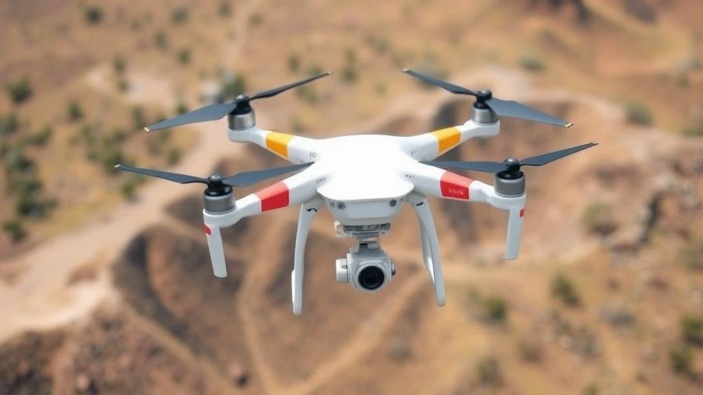
Drone mapping involves the use of unmanned aerial vehicles (UAVs) equipped with advanced sensors and cameras to capture high-resolution aerial images and topographical data. e drones can cover vast areas more rapidly than conventional surveying methods, enabling geologists to analyze landscapes efficiently.
A critical aspect of drone mapping includes:
- Photogrammetry: This technique reconstructs 3D models from 2D images collected by drones, providing detailed topographical maps.
- Multispectral Imaging: By capturing data across various wavelengths, drones can identify vegetation health and soil composition, which may indicate the presence of gold deposits.
- LiDAR (Light Detection and Ranging): This technology uses laser pulses to create precise, three-dimensional information about the shape of Earth and its surface characteristics, allowing for high-resolution mapping of terrains.
Benefits of Drone Mapping in Gold Exploration
Utilizing drone technology provides several distinct advantages over traditional exploration methods. The key benefits include:
- Cost Efficiency: Drones reduce the need for extensive manpower and extensive on-the-ground surveys, significantly lowering operational costs.
- Speed of Data Acquisition: Drones can gather data over large areas in a fraction of the time compared to ground surveys, accelerating the exploration timeline.
- High Precision: The data collected is often of higher resolution and accuracy, allowing geologists to make informed decisions based on reliable information.
- Accessibility: Drones can operate in remote or difficult-to-access areas, uncovering regions that traditional methods might overlook.
Case Studies: Real-World Applications
Numerous mining companies have successfully employed drone mapping technologies to enhance their gold exploration efforts. For example:
Case Study 1: Kinross Gold – This multinational gold mining company used drone technology in its exploration of the Tasiast mine in Mauritania. By integrating UAV-derived data with geological analysis, Kinross was able to identify new mineralization targets, reducing the exploration area significantly and streamlining drilling operations.
Case Study 2: Newmont Corporation – Newmont has turned to drone mapping to optimize its exploration strategies in Nevada. The drones provided extensive topographical details that identified previously undetected mineral deposits. As a result, the company increased its resource estimates for the region considerably.
Challenges and Considerations
While drone mapping presents numerous advantages, there are challenges to consider:
- Regulatory Compliance: Adhering to flight regulations and acquiring necessary permits can be a complex process, especially in densely populated or restricted areas.
- Data Management: The large volume of data generated requires robust data management and analysis practices to extract actionable insights effectively.
- Weather Limitations: Drones are sensitive to weather conditions; adverse weather can limit flying capabilities and data reliability.
Future Trends in Drone Mapping for Gold Exploration
The future of drone mapping in gold exploration appears promising. Advancements in technology, including artificial intelligence and machine learning, will enhance data analysis capabilities. Continued investments in UAV technology can lead to:
- Increased Automation: Automating flight paths and data collection will streamline the exploration process further.
- Enhanced Sensor Technology: New sensors capable of detecting subtle geological variations may provide more precise indicators of gold deposits.
- Integration with Geospatial Technologies: Combining drone data with Geographic Information Systems (GIS) will allow geologists to conduct more comprehensive analyses.
Conclusion: Actionable Takeaways
Drone mapping represents a significant evolution in the methodology of locating untouched gold-bearing regions. By understanding and leveraging this technology, mining companies can maximize resource identification efficiency, leading to cost savings and environmental benefits. As more companies adopt these systems, the potential for discovering new gold deposits will likely increase, transforming the landscape of mineral exploration.
For mining professionals, staying abreast of these changes and considerations will be crucial in adapting to new technological advancements. The adoption of drone mapping will not only enhance decision-making processes but also ensure a competitive edge in the quest for gold in an ever-evolving market.


