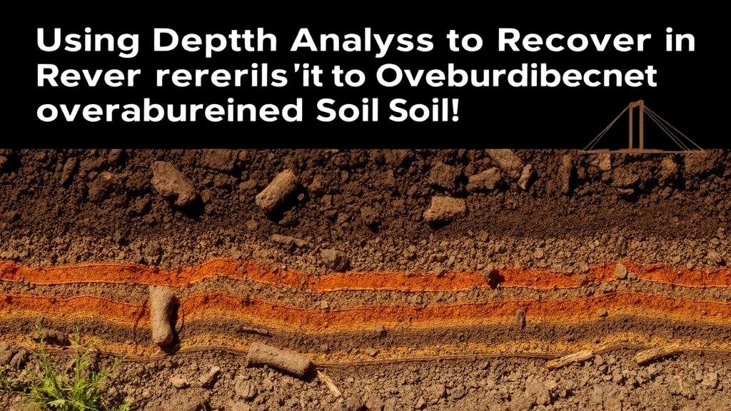
Using Depth Analysis to Recover Relics in Overburdened Soil Layers
Using Depth Analysis to Recover Relics in Overburdened Soil Layers
The excavation and recovery of archaeological relics buried beneath layers of soil present a unique set of challenges for researchers and archaeologists. One promising approach to address these challenges is the application of depth analysis techniques. Utilizing advanced methodologies enables archaeologists to efficiently locate and recover artifacts even in overburdened soil layers where visibility is restricted. This article delves into the strategies and methodologies of depth analysis, provides relevant case studies, and emphasizes its practical applications in archaeological fieldwork.
Understanding Overburdened Soil Layers
Overburdened soil layers refer to the top layers of soil that accumulate over time, obscuring the remnants of previous human activity and natural phenomena. The thickness and composition of these layers can vary significantly based on environmental conditions, human intervention, and geological processes. For example, urban sites may exhibit substantial overburden due to construction and landscaping, while archaeological sites in agricultural areas may have layers resulting from plowing and other farming practices.
The challenge posed by these layers is not merely their depth but also their heterogeneity, which can include differing soil types, vegetation, and other materials that complicate excavation processes. Without proper analysis, valuable artifacts may remain undetected, lost to the soil meant to protect them.
Importance of Depth Analysis Techniques
Depth analysis entails a range of techniques aimed at understanding the vertical stratigraphy of a site. This is critical in determining where targets may lie below the surface. Several key techniques include:
- Ground Penetrating Radar (GPR): A non-invasive geophysical method that uses radar pulses to image the subsurface. GPR can detect anomalies in the soil that may indicate the presence of artifacts.
- Magnetometry: This method detects variations in the Earths magnetic field caused by buried materials, such as metal relics. Its particularly useful in locating iron artifacts.
- Resistivity Survey: This technique measures the resistance of the soil to electric currents passed through it, revealing features based on changes in moisture content or the presence of materials.
These techniques provide a non-destructive means to assess the depth and nature of the layers present, allowing for strategic planning of excavations.
Case Studies of Depth Analysis in Action
One notable example of effective depth analysis was the archaeological excavation at the Cieneguilla Valley in Peru. Researchers employed GPR to locate and analyze pre-Columbian burial sites buried beneath extensive layers of alluvial deposits. By mapping the subsurface structure, they were able to pinpoint excavation sites with high potential for artifact recovery while minimizing destructive digging.
Another compelling case occurred at the site of the Battle of Gettysburg in Pennsylvania, USA, where magnetometry helped discover the remains of artillery positions that had been eroded and buried over a century of agricultural activity. This technique not only revealed locations of historical significance but also informed strategies for more targeted excavation efforts.
Challenges and Considerations
While depth analysis presents significant benefits, it is not without challenges. Variability in soil composition can affect the efficacy of certain techniques. For example, clay-rich soils may obstruct GPR signals, leading to misinterpretations. Also, the presence of modern waste and infrastructural debris can create noise in data outputs that complicate analysis.
Ethics and site preservation must also be considered. The process of excavating based on depth analysis should prioritize the integrity of the archaeological site, ensuring that minimal harm is inflicted on surrounding areas. Plus, holistic approaches that integrate multiple analytical techniques are recommended for more accurate results.
Future Directions in Depth Analysis
The future of depth analysis in archaeology looks promising, particularly with advancements in technology. Emerging tools such as machine learning algorithms integrated into data analysis, enabling faster and more accurate interpretations of subsurface features. Enhancements in drone technology also allow for aerial surveying of sites, providing a wider context for ground-level observations.
Plus, interdisciplinary collaboration among archaeologists, geophysicists, and data scientists will likely foster innovation in depth analysis methodologies, expanding its application in numerous archaeological contexts.
Actionable Takeaways
- Use a combination of depth analysis techniques (GPR, magnetometry, resistivity) for optimal results in identifying buried artifacts.
- Investigate historical case studies that successfully used depth analysis to guide the planning of archaeological digs.
- Consider the unique challenges of soil composition and historical perturbations in the chosen methodology.
- Stay informed about emerging technological advancements that could enhance analysis capabilities.
To wrap up, employing depth analysis methodologies is crucial for the effective recovery of relics in overburdened soil layers. By understanding geological stratifications and leveraging advanced technology, archaeologists can not only preserve history but also refine their excavation strategies to retrieve invaluable artifacts for future generations.


