Using Celestial Clues Found on Maps for Nighttime Navigation
Using Celestial Clues Found on Maps for Nighttime Navigation
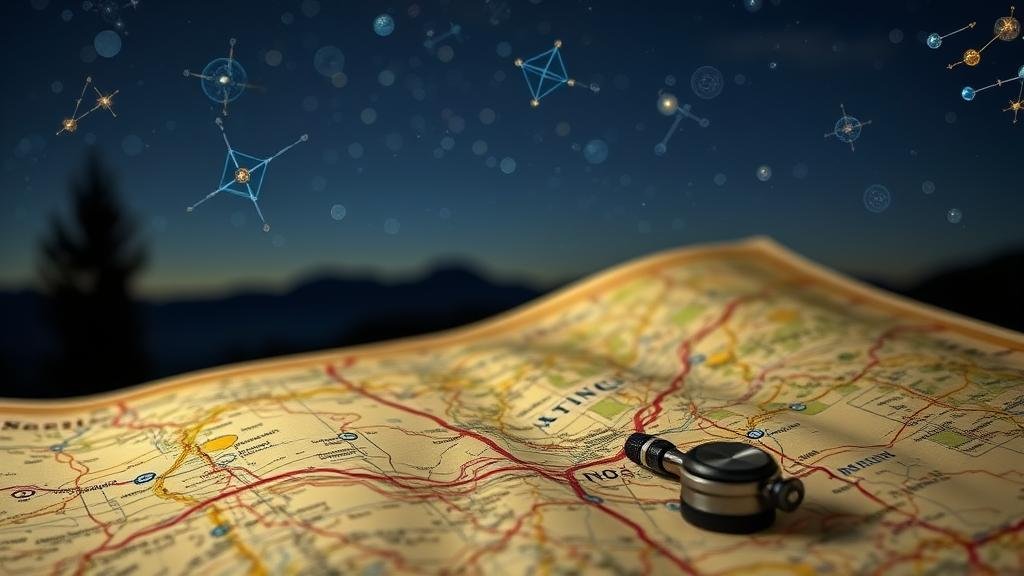
Nighttime navigation has long been a critical skill for explorers, mariners, and travelers alike. Celestial navigation harnesses the positions of celestial bodies–such as stars, the moon, and planets–to orient oneself in the dark. This method of navigation, often illustrated on maps and charts, utilizes the predictable movements of these bodies to provide directional guidance. Understanding how to interpret celestial clues found on maps can significantly enhance one’s ability to navigate efficiently and safely during the night.
The Fundamentals of Celestial Navigation
Celestial navigation is grounded in a few key principles. It involves observing celestial bodies and using them to determine one’s geographical position. This technique relies heavily on a combination of tools, including:
- Astrolabes: These instruments help measure the altitude of stars above the horizon.
- Sextants: Used to measure the angle between a celestial object and the horizon.
- Longitude and Latitude Calculations: Relies on precise measurements of celestial bodies to determine one’s current location on a map.
Mapmakers historically included celestial markers such as constellations and the North Star, which serve as vital reference points. North Star, or Polaris, is especially significant as it is aligned nearly with the Earth’s rotational axis, thereby indicating true north.
Key Celestial Bodies Used in Navigation
Different celestial bodies play distinct roles in navigation. Here are a few key examples:
- The Sun: Navigators use the sun’s position at noon (solar noon) to establish latitude.
- The Moon: Its phases and position can aid in estimating direction and time.
- Stars: Constellations, particularly the circumpolar constellations visible in the Northern Hemisphere, are critical for orientation.
For example, the Great Bear constellation (Ursa Major) contains the Big Dipper asterism, which can be used to locate Polaris. By following the line formed by the two outer stars of the Dipper’s bowl, navigators can easily find true north.
Reading Celestial Maps
Celestial maps, or star charts, visually represent the positions of celestial bodies in the night sky. e maps can be complex but are invaluable for successful navigation. To effectively utilize a celestial map, it is important to understand:
- Coordinate Systems: Most celestial maps use an equatorial coordinate system similar to latitude and longitude but adapted for the sky.
- Time Indicators: Many maps highlight when certain stars or constellations will be visible in a given season.
One practical example is the use of a celestial navigation chart for voyaging across the Pacific Ocean. Navigators would consult these charts to identify which stars would be visible at specific times of the year, allowing them to time their journeys accordingly.
Real-World Applications: Historical and Modern Use
Celestial navigation has deep historical roots. Ancient Polynesians famously traveled thousands of miles across the ocean using stars and their maps. They utilized knowledge passed down through generations to navigate by observing the rising and setting positions of the stars relative to islands.
In modern contexts, celestial navigation is still taught, especially for sailors and aviators. While GPS technology has largely supplanted it, knowledge of celestial navigation serves as a critical backup system. For example, if GPS signals fail in central oceans or while flying over remote areas, a trained navigator can rely on celestial bodies and their flight maps to find their way.
Challenges and Considerations
Despite its historical utility, celestial navigation presents certain challenges. Factors such as:
- Weather Conditions: Overcast nights can obscure celestial bodies, making navigation difficult.
- Light Pollution: Urban environments diminish visibility, complicating the observation of stars.
- Human Error: Miscalculating angles or misreading maps can lead to significant navigational errors.
To mitigate these issues, modern navigators often advocate for dual-training: mastering both celestial techniques and technological tools like GPS. This combination ensures reliability even under adverse conditions.
Actionable Takeaways
To effectively use celestial clues for nighttime navigation, consider the following actionable steps:
- Learn Basic Celestial Navigation Skills: Take courses or read guides on how to use sextants and astrolabes.
- Familiarize Yourself with Celestial Maps: Study and practice reading star charts relevant to your geographical area.
- Observe the Night Sky Regularly: Gain experience by noting the positions of celestial bodies during practice navigations.
- Combine Techniques: Use both celestial navigation and modern tools, ensuring redundancy in navigation methods.
Ultimately, understanding how to utilize celestial clues found on maps for nighttime navigation enriches one’s skill set, providing a profound sense of connectivity with both nature and history. Whether for leisure or necessity, mastering this ancient technique can lead to safer and more rewarding adventures under the stars.


