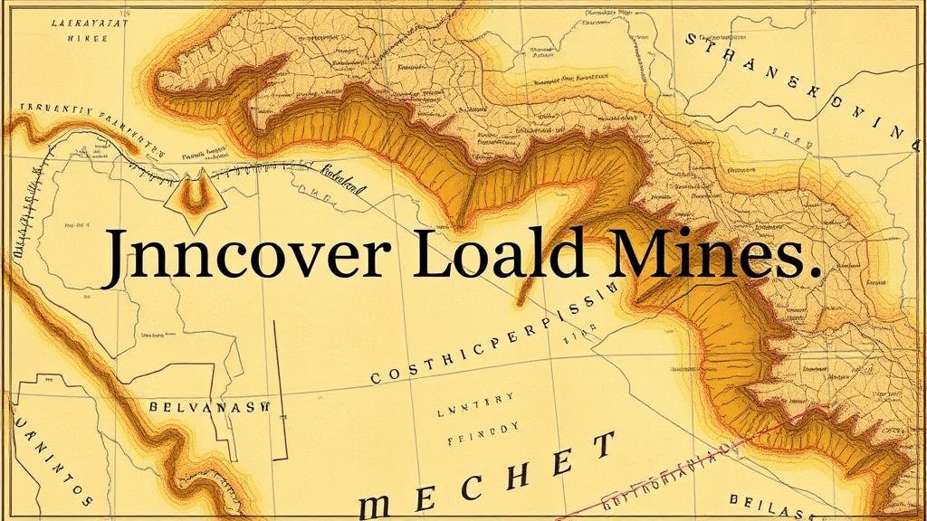
Using Cartographic Evidence to Uncover Lost Gold Mines
Using Cartographic Evidence to Uncover Lost Gold Mines
The quest for gold has captivated humanity for centuries, driven by the allure of wealth and prosperity. While modern mining techniques and technologies have transformed the industry, the use of historical cartography remains a critical tool for uncovering lost gold mines. This article explores the role of cartographic evidence in identifying locations of former gold mines, the methodologies involved, and case studies that illustrate successful applications.
The Importance of Cartography in Mining History
Cartography, the art and science of map-making, provides a unique lens through which we can explore historical mining activities. During the gold rushes of the 19th century, numerous maps were created, many of which documented significant geological features and mining claims. These historical maps can serve as invaluable resources when searching for lost gold mines for several reasons:
- They can reveal prior knowledge of gold-rich areas overlooked by modern technologies.
- They often annotate specific mining locations and routes taken by prospectors, providing contextual clues.
- They illustrate territorial changes, environmental features, and land ownership that may not be apparent today.
Types of Cartographic Evidence
Cartographic evidence can take various forms, each contributing uniquely to the research process:
- Topographic Maps: These maps depict elevation and terrain alterations, revealing potential gold-bearing areas based on geological formations.
- Historic Mining Claims Maps: These documents detail specific areas claimed for mining, allowing researchers to pinpoint potential sites.
- Geological Maps: Providing insights into rock formations and mineral deposits, these maps can indicate where gold may be found.
- Surveyor Maps: Created during property surveys, these maps may outline remnants of old mining operations.
Methodologies for Utilizing Cartographic Evidence
Identifying lost gold mines through cartographic evidence involves a systematic approach:
- Research Historical Context: Understanding the historical framework of mining activities is crucial. Researchers should review historical accounts, diaries, and newspapers from the time to gather contextual information about mining activity in the area.
- Map Analysis: A thorough analysis of maps involves identifying mining locations, trails used by prospectors, and distinct geological features. Overlaying modern maps with historical ones can help identify discrepancies and previously overlooked areas.
- Field Verification: After hypothesizing potential sites, researchers must conduct field investigations to assess the viability of these locations. This may include soil sampling, geological surveys, and examining historical artifacts.
Case Studies of Successful Discoveries
Several notable case studies illustrate the successful application of cartographic evidence in uncovering lost gold mines:
- The Lost Bonanza Mine: In the early 2000s, treasure hunters utilized 19th-century survey maps of the Mojave Desert in California. They compared the historic trails and mining locations with modern satellite images, eventually locating remnants of the long-lost Bonanza Mine, attributed to substantial gold yields in its heyday.
- Gold Rush of 1849: Researchers revisited cartographic evidence from the California Gold Rush, combining these maps with geology reports. r methodologies led to the rediscovery of rich veins previously documented but lost to time, leading to permission requests for modern exploratory drilling.
Challenges and Considerations
While cartographic evidence is a powerful tool, there are challenges and considerations that researchers must navigate:
- Accuracy and Scale: Historical maps may suffer from inaccuracies due to outdated cartographic methods or shifts in landscapes over time.
- Land Ownership Issues: Many potential mining locations may be on private property or protected lands, necessitating careful consideration of legal implications.
- Environmental Impact: Modern-day mining can have detrimental effects on local ecosystems, prompting discussions about sustainable practices.
Actionable Takeaways
Utilizing cartographic evidence to uncover lost gold mines requires a blend of historical research, analytical skills, and field investigation. For aspiring treasure seekers and mining historians, consider the following actions:
- Gather and analyze a variety of historical maps related to your target area.
- Create a comprehensive database of historical mining claims and notable geological features.
- Engage with local historians or archaeological societies for shared knowledge and resources.
- Respect legal considerations and environmental sustainability while conducting research.
To wrap up, cartographic evidence serves as a window into the past, guiding modern explorers on their quest for lost gold mines. By leveraging historical maps and employing structured investigative methodologies, researchers can unveil hidden treasures long thought to be lost to time.


