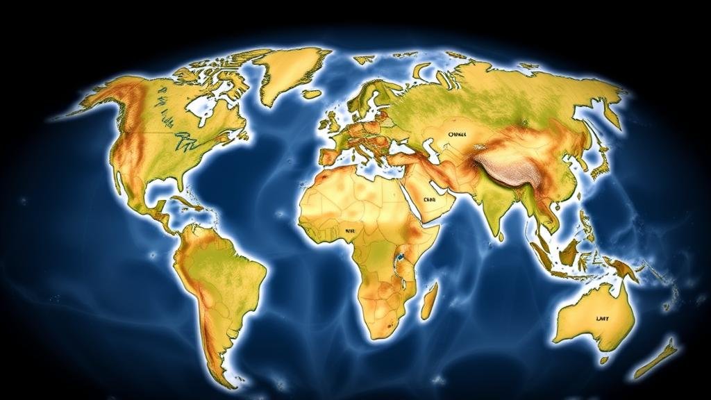
Using AI to Match Ancient Maps to Modern Landscapes for Exploration
Using AI to Match Ancient Maps to Modern Landscapes for Exploration
In the field of historical geography and cartography, the integration of artificial intelligence (AI) has revolutionized the way researchers analyze and interpret ancient maps. This article explores how AI technologies can be employed to match ancient maps with contemporary landscapes, facilitating exploration and a deeper understanding of historical contexts. This nexus of technology and heritage demonstrates significant implications for archaeological studies, urban planning, and environmental history.
Historical Background of Ancient Maps
Ancient maps are invaluable resources that provide insights into the geographic understanding of past civilizations. For example, the Tabula Rogeriana, created by the Arab geographer Muhammad al-Idrisi in 1154, offers a detailed view of the world as known to 12th-century scholars. Similarly, the Ptolemaic maps from the 2nd century CE elucidate the Roman Empires territorial awareness. These maps were often imprecise by modern standards, but they reflect significant cultural, political, and social dynamics of their time.
The Role of AI in Map Comparison
Recent advances in machine learning and computer vision have enabled researchers to develop AI algorithms capable of processing and analyzing large datasets, including historical cartographic material. process of matching ancient maps to modern landscapes typically involves several steps, including:
- Image Recognition: AI systems can identify geographic features such as rivers, mountains, and human-made structures on both ancient and modern maps.
- Georeferencing: Algorithms can convert the coordinate systems used in ancient maps to contemporary geographic coordinates, allowing for accurate overlays.
- Pattern Recognition: AI systems analyze patterns in land use and terrain morphology, assisting in recognizing historical land features that may no longer exist.
Case Studies and Applications
One prominent case study is the use of AI in mapping the ancient Roman road network. Researchers have utilized machine learning techniques to analyze thousands of ancient maps combined with geospatial data from modern geographic information systems (GIS). By employing convolutional neural networks (CNNs), they successfully traced the remnants of Roman roads beneath contemporary urban settings, leading to the discovery of previously uncharted routes.
Another notable example involves the mapping of ancient agricultural landscapes in Mesopotamia. A study conducted by the University of Cambridge utilized AI to analyze satellite imagery alongside ancient maps, enabling researchers to identify ancient irrigation systems and settlement patterns. These findings have profound implications for understanding resource management in historical agrarian societies.
Challenges in the Integration of AI
Despite the potential of AI to enhance our understanding of ancient cartography, several challenges remain. First, the deterioration and inconsistency of ancient maps can introduce significant challenges in data quality. For example, maps that have suffered from wear, tear, or water damage may present partial information that can hinder analysis.
Second, the complexity of accurately translating historical geographic references into modern coordinates poses its own difficulties. Many ancient maps rely on landmarks that may no longer exist or have changed significantly over time. This lack of temporal consistency can complicate the matching process.
Future Directions and Impact
The integration of AI in historical cartography is still in the nascent stages, but its future applications hold promise for various fields, including archaeology, environmental science, and urban development. Advancements in AI technologies, particularly in natural language processing, could further enhance the ability to analyze textual descriptions accompanying ancient maps, leading to more accurate interpretations.
Plus, collaborative efforts among historians, geographers, and computer scientists are crucial to refining methodologies and expanding datasets. As the field develops, there is an opportunity not only to enrich academic knowledge but also to foster public engagement with cultural heritage through interactive applications and educational platforms.
Conclusion
The use of AI to match ancient maps to modern landscapes offers revolutionary potential for exploration and understanding of historical contexts. By leveraging machine learning techniques, researchers can unlock new dimensions of ancient geographical knowledge, paving the way for innovative studies in cartography and history. This multidisciplinary approach holds the promise of bridging the gap between the past and present, making historical insights more accessible and actionable for future generations.


