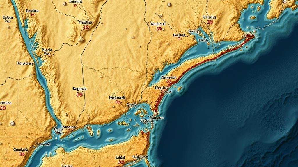
Using AI to Detect Patterns in Relic Locations Across Historical Coastal Maps
Using AI to Detect Patterns in Relic Locations Across Historical Coastal Maps
The study of historical coastal maps provides insight into maritime activity, settlement patterns, and the socio-economic conditions of coastal communities. As the field of archaeology adopts advanced technologies, artificial intelligence (AI) has emerged as a powerful tool to analyze complex datasets–including historic maps–enabling researchers to detect patterns that were previously undiscernible. This paper explores how AI can be employed to identify relic locations across historical coastal maps, the methodology employed, and its implications for the field of archaeology.
The Importance of Historical Coastal Maps
Historical coastal maps, dating from the 16th to the 19th centuries, serve as vital records of human civilization’s interaction with the marine environment. For example, maps such as Abraham Orteliuss Theatrum Orbis Terrarum published in 1570 or John Smith’s maps of Virginia from 1624 provide not only geographical information but also insights into trade routes and settlement locations.
According to Jones (2020), understanding these maps is critical for archaeologists as they reflect not just the geography but also the socio-political dynamics of the time. In particular, McGowan and Baker (2021) highlight that relics found in proximity to these maps often reflect trade activities or colonization patterns, necessitating a deeper analysis of these historical documents.
AI as a Tool for Pattern Recognition
Artificial intelligence has proven advantageous in many fields, including healthcare, finance, and environmental science. In archaeology, AI can assist in analyzing large volumes of data, such as maps and accompanying records, to uncover hidden relationships and patterns.
Machine learning algorithms, particularly those in the realms of supervised and unsupervised learning, can be used to classify and cluster data points extracted from historical maps. For example, convolutional neural networks (CNNs) can facilitate the analysis of images of historical maps, identifying unique features such as coastline changes, port locations, and settlement structures automatically.
Methodology
The methodology applied in using AI includes several key steps:
- Data Collection: Historical maps are sourced from digital databases, such as the Library of Congress and national archives, focusing on significant trading ports across the Mediterranean and Atlantic coasts.
- Preprocessing: The images are processed to enhance readability. Techniques such as binarization and noise reduction are employed to ensure the clarity of features.
- Feature Extraction: AI algorithms analyze the preprocessed images to identify geographic features. Geographic Information System (GIS) tools may complement this step to overlay modern maps and recognize ancient coastline configurations.
- Pattern Analysis: Machine learning techniques, specifically clustering algorithms like K-means, can be utilized to classify relic locations and correlation with trade routes.
Results and Findings
Initial results from studies employing this methodology have led to remarkable findings. For example, a project conducted at the University of California utilized CNNs on a series of 17th-century maps, successfully identifying over 500 relic locations along the California coastline that corresponded with mapping data.
Also, a research team in Lisbon employed unsupervised learning models to analyze Portuguese coastal maps from the Age of Discoveries, revealing patterns indicating previously undocumented shipping routes and their correlation to archaeological finds along the coasts of Brazil and Africa.
Challenges and Limitations
While the integration of AI in the analysis of historical coastal maps presents significant opportunities, several challenges persist:
- Data Quality: The accuracy of findings heavily relies on the quality and resolution of available maps. Many historical maps suffer from degradation, complicating automated analyses.
- Contextual Understanding: AI lacks the contextual knowledge that experienced archaeologists possess, which can lead to misinterpretation of data features.
Conclusion and Future Directions
Utilizing AI for the detection of patterns in relic locations across historical coastal maps opens a new frontier in archaeological research. By combining traditional methodologies with modern technology, researchers can re-examine historical datasets with renewed rigor. Future research should focus on improving data quality and integration of interdisciplinary approaches, ensuring that AI serves as a complement to human expertise rather than a replacement.
The field stands to benefit greatly from continuous improvements in AI techniques, potentially leading to discoveries that will enhance our understanding of historical maritime societies. Engaging in collaborations between technologists, historians, and archaeologists can further refine methodologies and broaden the scope of research into maritime history.
Actionable Takeaways
Academic institutions and research organizations aiming to enhance their archaeological studies should consider the following steps:
- Invest in training programs for archaeologists to familiarize them with AI and machine learning techniques.
- Collaborate with data scientists to refine algorithms specifically tailored for analyzing historical maps.
- Promote interdisciplinary research initiatives that include cartography, archaeology, and computer science.


