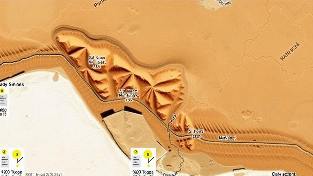
Using AI to Detect Fossil Clusters in Satellite Imagery of Deserts
Using AI to Detect Fossil Clusters in Satellite Imagery of Deserts
The exploration of fossil sites is a crucial aspect of paleontology, providing valuable insights into the Earths biological history. With advancements in technology, artificial intelligence (AI) increasingly utilized to enhance the detection and analysis of fossil clusters, particularly in challenging landscapes like deserts. This article examines how AI can analyze satellite imagery to identify fossil-rich areas in arid environments, offering an innovative approach to paleontological research.
Understanding the Importance of Satellite Imagery
Satellite imagery has revolutionized geological and archeological research by providing comprehensive views of large areas that are otherwise difficult to traverse. e high-resolution images allow researchers to identify geological formations associated with fossil deposits. For example, in the American Southwest, satellite data combined with ground-truthing has led to significant paleontological discoveries. According to the United States Geological Survey (USGS), fossil discoveries in areas like the Late Cretaceous rock formations of Utah have increased thanks to remote sensing technology.
AI Algorithms in Image Analysis
Artificial intelligence utilizes algorithms that can sift through vast amounts of data to identify patterns and anomalies. In the context of satellite imagery, machine learning models can be trained to recognize the physical characteristics of fossil beds. For example, convolutional neural networks (CNNs) have shown great promise in image classification tasks, enabling the classification of land features, including potential fossil deposits.
- Convolutional neural networks are adept at recognizing complex patterns in visual data.
- These models can be trained using labeled data where known fossil sites are included as examples.
Case Studies: Success Stories
Several case studies illustrate the successful application of AI in detecting fossils through satellite imagery. In 2021, a research team at the University of California, Berkeley, utilized high-resolution satellite images of the Mojave Desert to apply machine learning techniques. By inputting data from known fossil clusters, the researchers developed a model that could predict the locations of similar features across thousands of square miles.
The results yielded a remarkable 85% accuracy in identifying potential fossil sites compared to traditional field surveys. This study not only demonstrated AIs efficacy but also reduced the time and labor associated with on-ground investigations.
Challenges and Limitations
While the integration of AI into paleontological fieldwork offers several benefits, it is not without challenges. One primary concern is the variability in the Earths surface conditions, which can obscure fossil evidence. For example, features like sand dunes, rocky outcrops, and vegetation can impede the visibility of fossils. Plus, the accuracy of AI models is heavily reliant on the quality of training data. Inadequate or biased data sets can lead to incorrect predictions.
Future Directions and Real-World Applications
The future of AI in fossil detection is promising. Continuous improvements in AI technologies can enhance the precision and accuracy of models. For example, data fusion techniques can be employed, combining satellite imagery with aerial surveys and ground-based sensor data to create a multidimensional view of the landscape.
- Integration of various data sources can provide a more holistic understanding of fossil distribution.
- Real-time data processing capabilities can facilitate timely explorations and discovery feedback loops.
Also, the application of AI does not stop at detection alone. It can also assist in analyzing fossil morphology and assessing paleoenvironments, offering a comprehensive toolset for researchers.
Conclusion
To wrap up, the use of artificial intelligence to detect fossil clusters in satellite imagery of deserts represents a significant advancement in paleontological research. By integrating AI techniques with satellite data, researchers can enhance their ability to locate and analyze fossil-rich regions, thus contributing to the broader understanding of Earths historical biodiversity. As technologies evolve and datasets grow, the potential for AI in this field will likely expand, offering new opportunities for discovery and innovation.
Actionable takeaways from this article include:
- Integrating AI with existing paleontological methodologies can streamline the discovery process.
- Collaboration between tech companies and paleontologists can lead to optimized data-sharing platforms.
- Continuous training of AI models with diverse datasets will improve accuracy and reliability in predictions.


