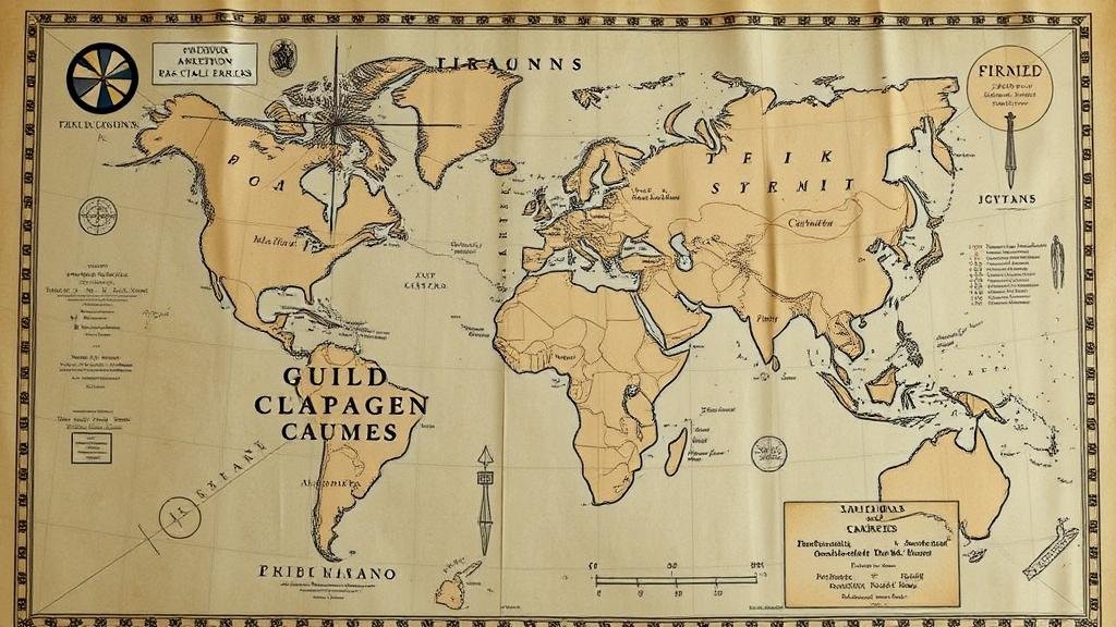
Using AI to Decode Symbolic Markings on Early Cartographic Records
Using AI to Decode Symbolic Markings on Early Cartographic Records
The advancement of artificial intelligence (AI) offers an innovative approach to understanding early cartographic records, which are often rich in symbolic markings that can be perplexing to historians and cartographers alike. This research article explores the methodologies utilized to leverage AI techniques, such as image recognition and machine learning, in decoding these historical artifacts.
Historical Context of Early Cartographic Records
Cartography has been a fundamental aspect of human civilization, evolving from rudimentary sketches to intricate maps that reflect geographic knowledge and cultural significance. Early maps, such as the Ptolemaic maps from the 2nd century CE and the Mappa Mundi dating back to around 1300, often included symbols and notations that conveyed geographical features, territorial claims, and even religious beliefs.
For example, the Tabula Rogeriana, created by the Muslim geographer Muhammad al-Idrisi in 1154, incorporated symbolic markings that represented various regions, resources, and cultures. But, the meaning of many symbols remains unclear, partly due to the linguistic and contextual changes over centuries.
The Role of Artificial Intelligence in Cartography
AI’s capability to analyze vast amounts of data quickly and accurately positions it as a valuable tool for researchers aiming to decode early cartographic symbols. Techniques that are commonly applied include:
- Image Processing and Recognition: AI can be trained to recognize patterns in images, making it possible to identify and categorize symbols on maps.
- Natural Language Processing (NLP): Integrating textual interpretation allows AI to derive meanings from inscriptions accompanying maps.
- Machine Learning Algorithms: These algorithms can analyze historical datasets to predict the meanings of unknown symbols based on known symbols.
Case Studies of AI Applications
Several case studies highlight the successful application of AI in decoding early mapping symbols:
Case Study 1: The Universal Map of Early Modern Europe
In a collaborative project between historians and data scientists at the University of Amsterdam in 2021, AI was utilized to analyze the Symbolic Map of Early Modern Europe from the late 16th century. Using deep learning algorithms, the researchers successfully identified around 75% of the symbolic representations on the map as landmarks, trade routes, and territorial boundaries.
Case Study 2: The Voynich Manuscript
Although primarily a manuscript, the AI techniques applied by researchers at Yale University in 2020 to analyze the Voynich Manuscript also shed light on early cartographic symbols. study demonstrated how AI could identify recurring patterns, guiding researchers toward potential interpretations of the map sections included in the manuscript, which remained largely unexplained for centuries.
Challenges and Limitations of AI in Decoding Cartographic Symbols
While the integration of AI into cartographic research is promising, it does face several challenges:
- Data Quality: Many early maps exist in various states of degradation, complicating data extraction.
- Contextual Understanding: AI often lacks the cultural and historical context that human researchers possess; this can lead to misinterpretation of symbols.
- Algorithm Bias: Machine learning algorithms are only as effective as the data they are trained on, which can lead to biased outcomes if historical datasets are incomplete or skewed.
Conclusion and Future Directions
AI has introduced a new frontier in the exploration of early cartographic records by enabling researchers to decode symbolic markings with enhanced efficiency and accuracy. As technology advances, future applications could involve more sophisticated AI models capable of integrating multimodal data sources, including geographic information systems (GIS), and historical documents.
For continued progress in this field, it is essential to ensure that collaborations between historians, cartographers, and computer scientists persist. Such interdisciplinary efforts will not only advance AI applications but also enhance our understanding of historical contexts and the importance of early maps in cultural heritage.
Ultimately, embracing AI as a tool in cartographic research provides actionable insights into historical mapping practices and enables a deeper connection to our shared human heritage.


