Using AI-Powered Geographic Information Systems (GIS) for Relic Site Mapping
Using AI-Powered Geographic Information Systems (GIS) for Relic Site Mapping
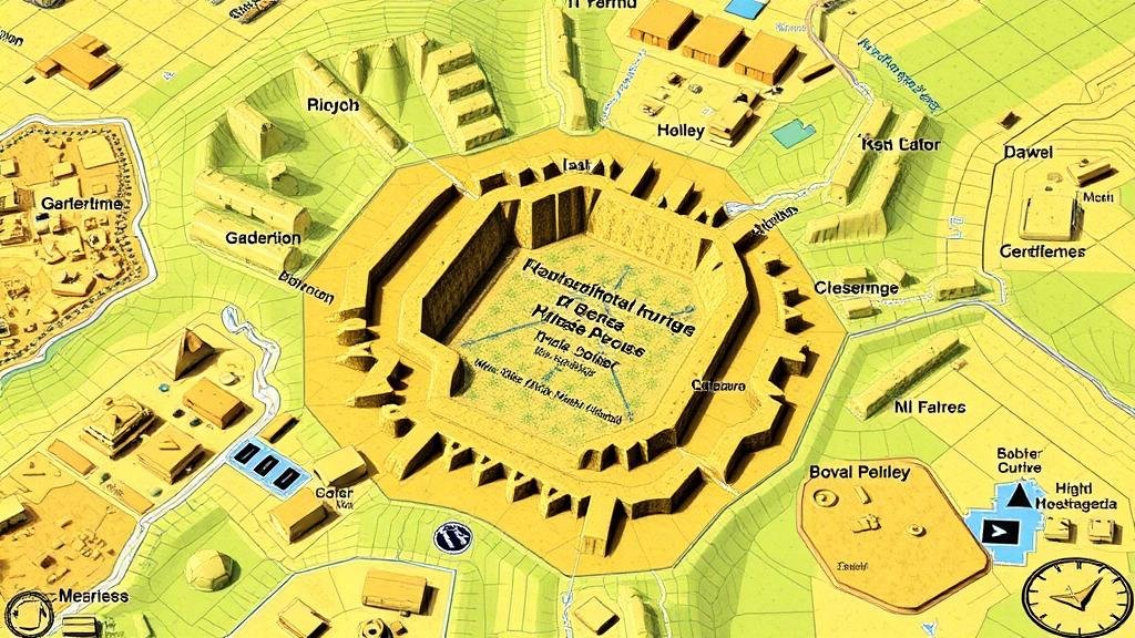
The integration of Artificial Intelligence (AI) into Geographic Information Systems (GIS) has significantly enhanced the mapping and analysis of archaeological relic sites. This article delves into the applications of AI-powered GIS in relic site mapping, exploring its functionalities, benefits, challenges, and real-world case studies that exemplify its efficiency and accuracy.
The Role of AI in GIS
AI technologies, including machine learning, deep learning, and predictive analytics, have revolutionized how data is processed and analyzed within GIS frameworks. By automating complex analytical tasks, AI not only accelerates the mapping process but also improves accuracy in locating relic sites based on historical data and environmental factors.
According to a report by Grand View Research, the GIS market size is expected to reach USD 17.5 billion by 2027, with AI playing a pivotal role in this growth. incorporation of AI allows for:
- Enhanced pattern recognition in large datasets
- Improved predictive modeling for identifying potential archaeological sites
- Automation of data collection through remote sensing technologies
Methodologies in AI-Powered GIS for Relic Mapping
The process of using AI-powered GIS for mapping relic sites typically involves several methodologies:
- Data Collection: Remote sensing tools, such as satellites and drones, collect high-resolution imagery and LiDAR (Light Detection and Ranging) data. For example, the European Space Agency (ESA) utilizes satellite imagery to monitor archaeological landscapes.
- Data Processing: Machine learning algorithms process the collected data, identifying features that may indicate archaeological significance. Convolutional Neural Networks (CNNs) can be employed to distinguish between relics and other surface materials.
- Site Prediction: AI algorithms can predict the likelihood of relic sites based on historical precedent and landscape analysis. For example, researchers at the University of Southern California used machine learning to predict the locations of ancient structures in Egypt, achieving an accuracy rate of over 90%.
Case Studies
Numerous case studies illustrate the practical applications of AI-powered GIS in relic site mapping. One notable example is the work done in the Mediterranean basin, where researchers utilized AI to analyze topographical data alongside archaeological databases.
The project, initiated in 2021, mapped over 500 potential relic sites across Greece and Turkey. By integrating data from ancient texts, historical maps, and modern satellite imagery, the algorithm successfully identified sites that had previously gone unrecognized. In this effort, over 70 new archaeological sites were verified through field investigations.
Benefits of AI-Powered GIS in Relic Mapping
AI-powered GIS offers numerous benefits for archaeological research:
- Efficiency: The speed of analysis is greatly enhanced, allowing archaeologists to focus on fieldwork rather than data processing.
- Cost-Effectiveness: By streamlining the mapping process, project costs are reduced by minimizing the time and resources required for manual site surveys.
- Preservation of Cultural Heritage: By accurately mapping relic sites using non-invasive technologies, the risk of damage during excavation or exploration is significantly lowered.
Challenges and Limitations
Despite the advantages of AI in GIS, challenges remain:
- Data Quality: The accuracy of AI algorithms depends heavily on the quality of input data. Poor-quality imagery may lead to erroneous site identifications.
- Interpretation Bias: AI algorithms can reflect the biases of their designers or the datasets used, potentially overlooking significant cultural contexts.
- Technical Barriers: Useing AI-powered GIS requires specialized knowledge and skills that may not be widely available among archaeologists.
Future Directions
The future of AI-powered GIS in relic site mapping appears promising, as advancements in AI technology continue to evolve. Some of the future directions include:
- Integration of Augmented Reality (AR): Combining GIS with AR can enhance the visualization of potential sites, allowing archaeologists to engage interactively with the data.
- Use of Big Data: Considering vast amounts of diverse datasets could improve the predictive accuracy of archaeological site identification.
- Collaboration Across Disciplines: Increased collaboration between computer scientists and archaeologists can lead to the development of more sophisticated models and tools tailored for archaeological research.
Conclusion
In summary, the integration of AI-powered Geographic Information Systems in relic site mapping is transforming archaeological methodologies. By enhancing data accuracy, improving predictive modeling, and facilitating efficient site identification, AI technologies are enabling archaeologists to explore and preserve cultural heritage effectively. As technology advances, the potential for AI to further revolutionize this field remains significant.
To leverage these advancements, practitioners in archaeology and GIS are encouraged to invest in training and collaboration, ensuring that the benefits of AI can be harnessed to their fullest potential in mapping and preserving relic sites around the world.


