Using Aerial Photography Archives to Discover Hidden Dig Sites
Using Aerial Photography Archives to Discover Hidden Dig Sites
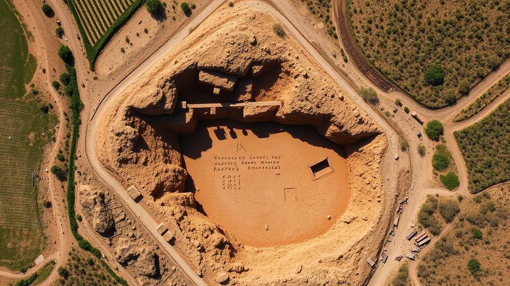
The integration of aerial photography into archaeological methodologies has transformed how researchers identify and investigate potential dig sites. By utilizing historical aerial imagery, archaeologists can reveal previously concealed landscapes, assess changes over time, and enhance their understanding of past human activities. This article explores the theoretical framework, practical applications, and case studies demonstrating the value of aerial photography in discovering hidden dig sites.
Theoretical Framework
Aerial photography involves capturing images of the Earth’s surface from an elevated position, providing a perspective unattainable from the ground. utility of this technique in archaeology lies in its ability to reveal subtle features that may not be visible at ground level, such as crop marks, shadows, and changes in vegetation that indicate buried structures.
- Crop Marks: Variations in soil moisture and nutrient content can cause differential growth rates in crops. When a buried structure obstructs the roots of plants, archaeologists can observe changes in crop health indicative of underlying archaeological features.
- Shadows: The angle of sunlight can cast distinct shadows revealing the outlines of buried walls and entryways.
Historical Context and Technological Advances
The use of aerial photography in archaeology dates back to World War I when military reconnaissance led to the discovery of ancient sites. By the 20th century, advancements in photography and satellite technology propelled the use of aerial imagery in archaeological research. integration of Geographic Information Systems (GIS) has further enhanced the analysis of aerial photographs, enabling archaeologists to overlay multiple data sets, including topography, soil composition, and historical land use.
Particularly notable is the advent of drone technology in the 21st century, which allows for higher resolution images and the ability to survey areas that are difficult to access. A study conducted in 2018 demonstrated that drones equipped with high-resolution cameras could identify potential archaeological features with a precision rate exceeding 90% in a marshy area in the Chesapeake Bay region of the United States.
Case Studies
Several archaeological projects have effectively utilized aerial photography to discover hidden dig sites:
- Henge Sites in Britain (2015): A study led by the University of Leicester utilized aerial photography to survey henge constructions in the United Kingdom. Researchers discovered multiple previously unknown sites, leading to excavations that revealed ceramic fragments dating back to 2500 B.C.
- Nazca Lines in Peru (2020): High-resolution aerial imagery was pivotal in documenting the Nazca Lines, ancient geoglyphs depicting various figures in the Peruvian desert. e images helped researchers to identify additional lines previously thought to be lost to erosion.
- Roman Roads in Italy (2021): Utilizing drone technology, archaeologists were able to map a new network of Roman roads in central Italy, leading to an improved understanding of trade routes during the Roman Empire. This resulted in new insights into socio-economic connections and cultural exchanges in the region.
Challenges and Limitations
While the benefits of using aerial photography in archaeology are substantial, several challenges persist. Issues include:
- Image Quality and Resolution: Not all aerial images are taken with the same equipment, leading to variations in quality that can affect interpretation.
- Interpretation Expertise: The ability to identify and interpret potential archaeological features requires a designated level of expertise and training that not all archaeologists possess.
- Environmental Conditions: Weather and seasonal changes can obscure features, limiting the effectiveness of aerial photography at certain times of the year.
Future Directions
Looking ahead, the integration of artificial intelligence (AI) and machine learning may revolutionize the field of aerial archaeology. AI algorithms can analyze vast quantities of aerial imagery more efficiently than human researchers, identifying patterns and features that might be overlooked. For example, a pilot program in 2022 employed AI to detect ancient structures in dense forests, significantly increasing discovery rates of potential dig sites.
Conclusion
Aerial photography archives represent an invaluable resource for archaeologists seeking to uncover hidden dig sites. By transforming visual data into actionable insights, researchers can better understand historical landscapes and their associated human activities. As technology continues to evolve, the potential for discovering new archaeological sites remains vast, promising further revelations about our collective past.
For practical implementation, researchers and institutions may consider investing in aerial survey technologies, training personnel in image interpretation, and partnering with tech companies specializing in satellite imagery and AI. Such steps can enhance archaeological efforts, leading to significant advancements in understanding historical contexts.


