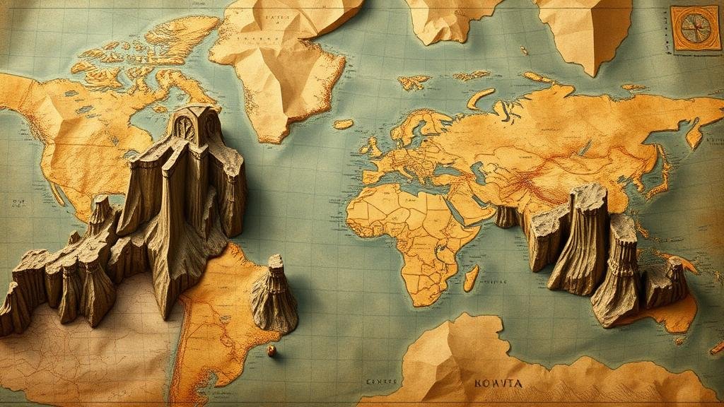
Unraveling connections between historical maps and physical landmarks.
Unraveling Connections Between Historical Maps and Physical Landmarks
The intersection of historical maps and physical landmarks offers a fascinating glimpse into how humanity has interacted with geography over time. By examining the evolution of maps, we can uncover insights that enrich our understanding of historical events, cultural shifts, and the development of urban landscapes. This article explores the significance of historical maps, their relationship with physical landmarks, and provides examples from significant periods in history.
Understanding Historical Maps
Historical maps serve as more than just navigational tools; they are artifacts that reflect the cultural, political, and scientific norms of their time. Generally defined as maps created before the modern cartographic methods of the late 19th and early 20th centuries, these documents reveal how people perceived their world.
For example, the famous Ptolemaic maps from the 2nd century A.D. reflected the Greek understanding of geography and celestial bodies. They depicted the Earth as a flat plane centered around the Mediterranean, thereby influencing navigational practices for centuries.
The Significance of Physical Landmarks
Physical landmarks, including mountains, rivers, and man-made structures, have long guided human civilization. not only define territorial boundaries but also play crucial roles in trade routes, military strategies, and settlement patterns.
Landmarks like the Great Wall of China, built in various phases from the 7th century B.C. onwards, have been integral to defining both the geography and culture of the region. Similarly, the Nile River was essential to Egyptian civilization, demonstrated by its consistent representation on maps from ancient times to modern geographical studies.
Connections Between Historical Maps and Landmarks
The relationship between historical maps and physical landmarks is reciprocal. Maps serve to document landmarks, while landmarks provide context to map-making. By analyzing this interplay, historians and geographers can glean insights into societal values, power dynamics, and cultural developments.
Case Study: The Age of Exploration
During the Age of Exploration in the 15th to 17th centuries, maps began to take on new significance. Explorers like Christopher Columbus and Vasco da Gama produced maps that documented new lands and altered the European worldview. Notable maps such as Martin Waldseemüller’s world map from 1507 introduced the name “America†and influenced European cartography.
Landmarks discovered and documented in this period include:
- The Americas: Columbus’s expeditions in 1492 led to the widespread acknowledgment of the islands of the Caribbean, forever altering European maps.
- The Cape of Good Hope: Vasco da Gama’s route to India around Africa in 1498 prompted better maritime maps that integrated this crucial landmark into global navigation.
Case Study: The Civil War Era in America
The American Civil War (1861-1865) is another pivotal time for historical maps. Military maps from this period were essential for both strategizing and public dissemination of information about troop movements and battles. Maps such as those created by Union cartographer Jedediah Hotchkiss provided detailed renditions of terrains and important sites.
Key landmarks noted on these maps included:
- Gettysburg: The Battle of Gettysburg in 1863 is not only a physical landmark but a turning point in the war, heavily documented in post-battle cartography.
- Richmond: As the Confederate capital, Richmond’s geography played a significant role in military strategies reflected in maps of the time.
The Relevance Today
Understanding the connections between historical maps and physical landmarks has modern-day implications. Today, GIS (Geographic Information Systems) technology allows scholars and researchers to layer historical maps over current satellite images, revealing changes in landscapes and urban development. Such analyses can inform urban planning and conservation efforts.
Actionable Takeaways
To delve deeper into the connections between historical maps and physical landmarks:
- Explore local archives or libraries that house collections of historical maps.
- Consider using GIS mapping tools to visualize historical changes in your area.
- Participate in or initiate community discussions around historic preservation efforts of significant landmarks.
By investigating these intersections, we not only enrich our understanding of history but also cultivate a deeper appreciation for the places that have shaped our societies.


