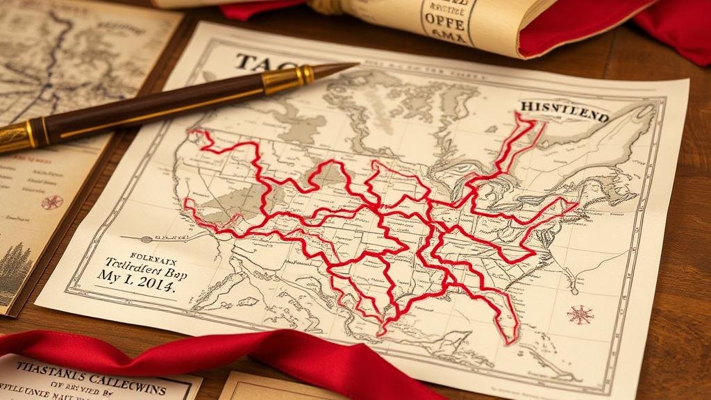
Uncovering Revolutionary War Relics with Historic Battle Maps
Uncovering Revolutionary War Relics with Historic Battle Maps
The study of the American Revolutionary War (1775-1783) offers profound insights into the pivotal moments that shaped the United States. This research article explores the dynamic interplay between historic battle maps and the discovery of Revolutionary War relics, demonstrating the critical value of mapping in historical archaeology. By analyzing specific battles, their associated maps, and the relics uncovered, this article aims to illustrate how tangible artifacts contribute to our understanding of history.
The Importance of Historic Battle Maps
Historic battle maps serve as essential tools for reconstructing military strategies, movements, and landscapes of the Revolutionary War. e maps not only highlight the tactical positions of forces but also indicate significant features of the terrain that may have influenced the outcomes of battles.
Case Study: The Battle of Bunker Hill
The Battle of Bunker Hill, fought on June 17, 1775, is one of the pivotal engagements of the Revolutionary War. The original maps created by military cartographers, such as those by British Captain John Moncrieff, depict troop placements and artillery positions. These illustrations have been invaluable for archaeologists attempting to locate the remnants of this historic confrontation.
Researchers from the Boston National Historical Park employed these maps to locate the site of soldier encampments and fortifications, leading to the discovery of:
- Musket balls
- Buttons from military uniforms
- Artillery remnants
These finds not only validate historical accounts but also provide a tangible sense of the realities faced by soldiers during the conflict.
Technical Methods of Archaeological Discovery
Combining historic maps with modern technology has revolutionized the field of archaeology. Techniques such as Geographic Information Systems (GIS) and Ground Penetrating Radar (GPR) are increasingly utilized to analyze and visualize battle sites.
GIS in Battlefield Analysis
Geographic Information Systems allow historians and archaeologists to overlay historic maps onto current terrain. This method assists in identifying potential locations where relics may be buried.
For example, during research on the Battle of Saragota, GIS data helped pinpoint where British General Burgoynes forces camped, leading to targeted excavations. Artifacts such as:
- Lead bullets
- Ceramic shards
- Uniform buttons
were subsequently recovered and analyzed to understand troop interactions and daily life during the battle.
Impact of Discoveries on Historical Narratives
The identification and recovery of Revolutionary War relics provide crucial evidence that can challenge or reinforce existing narratives. Each artifact carries with it specific stories and insights into the lives of those who fought.
Redefining Soldier Experiences
For example, the excavation of personal items, such as soldiers’ letters and personal possessions found at the Siege of Yorktown, has shed light on the motivations and sentiments of combatants during the war. Historians like Dr. John A. Garofalo emphasize the importance of these finds in capturing the emotional landscape of war.
As Dr. Garofalo notes, “Each letter and item humanizes the historical record, connecting us to the personal experiences of individuals during this monumental period.â€
Conclusion: Bridging Past and Present
The exploration of Revolutionary War relics through historic battle maps stands as a testament to the evolution of historical research. By integrating traditional cartography with modern technology, researchers not only unearth physical artifacts but also enrich our understanding of the American Revolution. historical landscapes of places like Bunker Hill and Saratoga become living stories, offering vital lessons for future generations.
Actionable Takeaways
For historians, archaeologists, and enthusiasts alike, the following steps can enhance engagement with Revolutionary War studies:
- Use GIS technology to explore historic maps.
- Encourage public archaeology projects that involve local communities.
- Participate in field schools focused on battlefield archaeology.
Ultimately, the intersection of historic battle maps and artifact recovery serves to preserve the legacy of the Revolutionary War, ensuring that the sacrifices of those who fought continue to resonate through time.


