Training AI Models to Recognize Historical Map Markings and Symbols
Training AI Models to Recognize Historical Map Markings and Symbols
The increasing digitization of historical documents has opened new avenues for researchers in fields such as history, cartography, and artificial intelligence (AI). Among the vast array of historical materials, maps serve as critical resources for understanding geographical, cultural, and political contexts of their time. A pivotal challenge lies in the ability of AI to efficiently recognize and decode historical map markings and symbols, which often vary widely across different periods and regions. This article explores the methodologies, challenges, and advancements in training AI models optimized for this task.
Understanding Historical Map Markings and Symbols
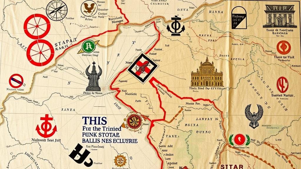
Historical maps are not merely geographical representations; they are laden with text, symbols, and stylistic elements that reveal critical information. For example, the 1570 map by Abraham Ortelius, Theatrum Orbis Terrarum, employed intricate cartographic symbols to denote political boundaries and significant locations within Europe.
The symbols and markings found on historical maps serve various functions, including:
- Topographical Features: Symbols representing mountains, rivers, and urban centers.
- Political Boundaries: Lines and colors delineating territories and nations.
- Transportation Routes: Icons indicating roads, trade routes, and navigational paths.
Given the diversity of symbols across different cultural contexts and epochs, training AI to recognize these markings requires a nuanced approach that incorporates historical knowledge and visual analysis capabilities.
Methodologies for Training AI Models
To train AI models effectively for recognizing historical map symbols, various methodologies can be employed, including supervised learning, convolutional neural networks (CNNs), and reinforcement learning.
Supervised Learning
Supervised learning involves training AI models on labeled datasets. For example, a collection of historical maps could be annotated with the corresponding symbols and their meanings. Researchers typically employ CNNs for image recognition tasks due to their proficiency in processing visual patterns.
A landmark project, the Historical Map Recognition Project at Stanford University, utilized a dataset of over 5,000 annotated historical maps, training models to recognize over 300 distinct symbols used in North American maps from the 18th to 19th centuries. Initial results indicated a recognition accuracy of around 87%, highlighting the effectiveness of this approach.
Transfer Learning
Transfer learning is another valuable technique where a pre-trained model on a larger dataset is fine-tuned on a smaller, domain-specific dataset. This method leverages existing knowledge to improve performance on specific tasks, such as recognizing symbols in historical maps. For example, a model trained on contemporary maps can be adapted to recognize symbols from the 16th-century globes.
Challenges and Limitations
Despite advancements, several challenges persist in training AI to decode historical map symbols:
- Diversity of Symbols: Unlike modern maps, historical maps feature a vast array of symbols, sometimes unique to specific epochs or cartographers.
- Deciphering Context: Many symbols require contextual understanding. For example, a figure representing a castle may indicate different statuses depending on the maps geographical focus.
- Data Scarcity: Quality annotated datasets are often scarce due to the vast bodily of historical materials.
Applications of AI in Historical Cartography
The integration of AI for recognizing historical map symbols has multifaceted applications:
- Digital Archiving: AI can assist in the digitization process of historical maps, enabling better preservation and accessibility.
- Historical Analysis: Researchers can rapidly analyze and extract data from maps, supporting broader historical research.
- Education: Institutions can develop interactive learning tools to engage students with historical cartography using AI-driven resources.
Future Directions
The future of training AI models to recognize historical map markings and symbols appears promising, with ongoing advancements in both AI techniques and the field of digital humanities. Further research could explore:
- Deep Learning Innovations: Continued exploration of advanced neural network architectures could yield improvements in accuracy and efficiency.
- Collaborative Databases: The establishment of shared databases containing labeled historical maps across institutions could enhance training datasets.
- Interdisciplinary Collaboration: Encouraging partnerships between historians, cartographers, and data scientists could enrich model training and application.
Conclusion
As the digital age progresses, the training of AI models to recognize historical map markings and symbols represents a significant step towards integrating technology with the humanities. By overcoming the challenges of symbol diversity and contextual interpretation, AI can serve as a powerful tool for enhancing our understanding of historical cartography. The successful implementation of such technology holds promise not only for historians and researchers but also for educational initiatives aimed at promoting awareness of historical geography.


