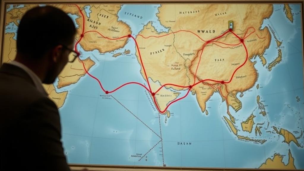
Training AI Models to Map Lost Trade Routes Using Old Navigation Charts
Training AI Models to Map Lost Trade Routes Using Old Navigation Charts
The study of historical trade routes holds immense value for understanding economic, cultural, and environmental dynamics across different eras. With the advent of artificial intelligence (AI), researchers have begun utilizing advanced machine learning techniques to analyze old navigation charts, subsequently reconstructing these routes. This article presents a comprehensive overview of the methodologies employed in training AI models for mapping lost trade routes, the significance of historical navigation charts, and the implications for modern research.
The Importance of Old Navigation Charts
Old navigation charts serve as crucial artifacts in the historical study of trade routes. e charts were meticulously drawn by navigators to provide accurate representations of maritime routes, territorial boundaries, and geographical features. For example, the Portolan charts of the Mediterranean, created in the 13th century, are notable for their detailed depiction of coastlines and ports.
According to a study published in the Journal of Historical Geography, these charts give insights into how trade networks evolved from the late Middle Ages through the early modern period. The proximity to resource-rich regions and the changing political landscape are often reflected in these documents, demonstrating their importance in understanding trade flow patterns.
Methodologies for AI Model Training
To effectively train AI models on historical navigation charts, researchers typically employ a combination of computer vision techniques and machine learning algorithms. following outlines the key steps in the process:
- Data Collection: Historical charts are digitized, and geographic information is extracted, forming a dataset suitable for analysis.
- Data Preprocessing: This involves cleaning the data, such as removing noise and correcting distortions that may arise from the digitization process.
- Feature Extraction: AI algorithms analyze patterns in the data to identify key features, such as trade routes, ports, and significant geographical landmarks.
- Model Training: Supervised learning techniques, such as Convolutional Neural Networks (CNNs), are employed to train the model on labeled data.
- Validation and Testing: The models performance is evaluated using unseen data to ensure accuracy and reliability in mapping the trade routes.
Real-World Applications
The implications of mapping lost trade routes using AI are vast. One significant application is in archaeology. For example, researchers can use AI-derived maps to identify potential excavation sites associated with ancient trade hubs. This methodology was successfully illustrated in a project focusing on the Silk Road, where AI was used to propose probable locations of earlier trading centers based on trade route mappings.
Also, these mappings provide insight into cultural exchanges and environmental impacts over centuries. By tracing trade routes, researchers can correlate economic activities with cultural phenomena, such as the spread of art, technology, and religion. The correlation between trade paths and the diffusion of goods demonstrates how commerce can reshape societies, a concept supported by data from the Global Trade Review, which reports that trade routes influence cultural transformation significantly.
Challenges and Future Directions
Despite the promising capabilities of AI in this domain, several challenges persist. One major issue is the incomplete historical record, where missing or fragmented charts can significantly hinder the training process. Plus, the interpretation of old navigational symbols may introduce subjectivity into the model training, potentially leading to inaccuracies.
Looking ahead, it is imperative for researchers to refine their methodologies by integrating interdisciplinary approaches that encompass geography, history, and data science. The development of specialized training datasets that feature a wider variety of old maps can enhance the AIs predictive capabilities.
Conclusion
Training AI models to parse and interpret old navigation charts presents an innovative frontier in historical research. By accurately mapping lost trade routes, scholars enhance not only our academic understanding of past economies but also contribute significantly to widening our knowledge of cultural intersections and environmental changes over time. As technologies continue to evolve, so too will our ability to uncover the complexities of historical trade networks.
Future researchers should prioritize constructing diverse datasets and refining interpretative frameworks to fully realize the potential of AI in historical geography. The integration of artificial intelligence within this domain not only stands to illuminate lost routes but also paves the way for a richer understanding of our shared global history.


