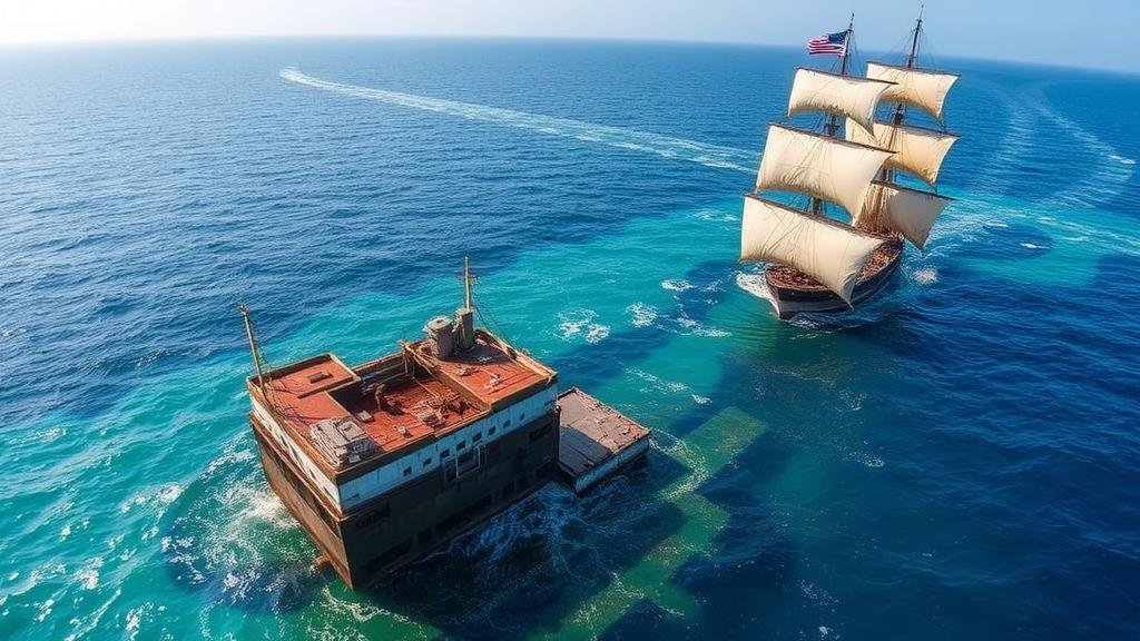
Tracking Coastal Shifts Over Centuries for Shipwreck Discoveries
Tracking Coastal Shifts Over Centuries for Shipwreck Discoveries
The investigation of coastal shifts over centuries plays a crucial role in maritime archaeology and the discovery of historical shipwrecks. Changes in coastal geography, influenced by both natural and anthropogenic factors, significantly affect the locations where shipwrecks may be found. This paper examines how scientists and archaeologists utilize various methodologies to track these coastal shifts and consequently enhance their understanding of shipwrecks across different maritime regions.
Historical Context of Shipwreck Discoveries
The exploration and colonization periods, notably between the 15th and 17th centuries, resulted in numerous shipwrecks along coastlines worldwide. For example, the wreck of the Spanish galleon San Jose in 1708, which was believed to carry riches from the New World to Spain, was recently located off the coast of Colombia. Understanding the coastal geography of that era is essential for interpreting the wrecks history and location.
Maritime routes and coastal features shifted due to both natural processes, such as erosion and sediment deposition, and human activities like construction and deforestation. Documented maritime disasters, such as the sinking of the Titanic in 1912, highlight the importance of tracking coastal changes to identify wreck sites and protect maritime heritage.
Methodologies for Tracking Coastal Changes
Multiple methodologies are utilized by researchers to track coastal shifts over time. e include:
- Geographic Information Systems (GIS): This technology allows researchers to analyze spatial data and visualize changes in coastal landscapes over time. For example, GIS was instrumental in tracking shifts in the coastal geography of the Chesapeake Bay, revealing significant land loss due to erosion over the last century.
- Remote Sensing: Satellite imagery and aerial photography enable the analysis of large coastal areas, providing insights into land use changes. The use of Landsat satellites has tracked coastal erosion in the Gulf of Mexico, which aids in understanding where shipwrecks might lie submerged.
- Historical Cartography: Old maps provide valuable insights into historical coastlines. Researchers often compare contemporary maps to old cartographic records to identify shifts. The examination of nautical charts from the 19th century showed that the coastline of the Florida Keys has experienced substantial change, which provides clues for potential shipwreck locations.
Notable Case Studies of Shipwreck Discoveries
Several significant shipwreck discoveries underline the importance of tracking coastal shifts. The following case studies illustrate how historical shifts in coastal geography contributed to locating wrecks:
The Whydah Gally
The Whydah Gally, a pirate ship that sank off the coast of Cape Cod in 1717, was located in 1984 by Dr. Barry Clifford. The recovery of artifacts highlighted how coastal shifts after the sinking allowed for the wreck to be buried under shifting sands over centuries. Analysis of coastal changes provided insight into the conditions that contributed to the ships concealment.
The Mary Rose
The Mary Rose, Henry VIII’s warship that sank in 1545, was found in the Solent in 1982. Studies of sediment movement and coastal sedimentation rates revealed how shifting sands had protected the wreck from surface disturbances. Conservation efforts benefited from prior investigations into how the coastal environment impacted the wreck’s preservation.
Challenges in Coastal Tracking
Tracking coastal shifts presents several challenges. These include:
- Data Availability: Historical data can be scarce or incomplete, hindering accurate assessments of past coastal conditions.
- Environmental Changes: Natural disasters and climate change accelerate coastal erosion and can obscure evidence of shipwrecks.
- Technological Limitations: Although technology has advanced, limitations still exist, such as resolution constraints in remote sensing imagery.
Practical Applications and Future Directions
Tracking coastal shifts not only aids maritime archaeology but also supports the preservation of cultural heritage. Real-world applications encompass:
- Conservation Planning: Insights gained from studying coastal shifts can inform conservation strategies to protect submerged cultural resources.
- Public Awareness: Engaging local communities through educational programs about the history and dynamics of their coastal environments can foster a greater appreciation for maritime heritage.
Future research should focus on integrating emerging technologies, such as machine learning and high-resolution 3D mapping, to enhance coastal change detection. As climate change continues to affect coastal landscapes, such advancements will become increasingly essential in uncovering historical discoveries.
Conclusion
Tracking coastal shifts over centuries is a vital aspect of maritime archaeology that leads to the discovery and protection of shipwrecks. Utilizing an array of methodologies, researchers can effectively identify potential wreck sites by understanding past coastal environments. Despite existing challenges, the integration of technology and community engagement remains crucial for advancing knowledge in this field. As we move forward, interdisciplinary collaboration and innovation will be key to uncovering and preserving our maritime history.
Through continued dedication to tracking coastal changes, future archaeologists will unlock the secrets of the past, revealing lost treasures and stories waiting to be told.


