Tracking Changes in Coastal Erosion to Predict Buried Relic Zones
Tracking Changes in Coastal Erosion to Predict Buried Relic Zones
The phenomenon of coastal erosion represents a significant threat to archaeological sites along coastal regions, where shifting shorelines can lead to the unearthing or obliteration of relics from past civilizations. Understanding the dynamics of coastal erosion and its impact on buried relic zones is fundamental for preserving our cultural heritage. This article explores the methodologies for tracking coastal erosion, illustrates its correlation with potential relic zones, and provides insight into predictive modeling that integrates geological and historical data.
Introduction
Coastal erosion is a natural and ongoing process exacerbated by human activities, climate change, and rising sea levels. According to the National Oceanic and Atmospheric Administration (NOAA), nearly 30% of the United States coastlines are eroding at an average rate of 1.5 feet per year. This erosion not only threatens ecosystems but also endangers archaeological sites, many of which lie beneath the sands along coastlines.
Understanding Coastal Erosion
Coastal erosion occurs through several mechanisms:
- Wave Action: The constant pounding of waves erodes cliffs and beaches, washing away sediments.
- Weather Events: Storms and hurricanes can lead to sudden increases in erosion rates.
- Human Activities: Construction and development along coastlines can disrupt the natural sediment flow, exacerbating erosion.
In regions like the Outer Banks of North Carolina, studies have shown that certain areas experience erosion rates exceeding 10 feet per year during severe weather events (Kumar et al., 2019). The loss of land can unearth previously buried artifacts and structures, shifting the landscape of our understanding of past human habitation.
Methodologies for Tracking Erosion
Several techniques are employed to monitor and predict coastal erosion:
- Remote Sensing: Satellite imagery and aerial photography allow for the analysis of coastline changes over time.
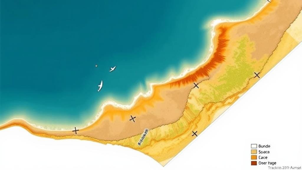
- Geographical Information Systems (GIS): GIS technology assists in visualizing and modeling erosion patterns using historical data.
- Topographic Surveys: Regular surveys can precisely measure shifts in landforms and sediment deposition.
For example, the University of Floridas Coastal and Marine Laboratory has utilized UAV technology to provide high-resolution images that detail erosive changes post-storm events (Smith et al., 2021). This technology not only improves accuracy but also provides historical context for buried relic investigation.
Historical Context and Buried Relic Zones
Buried relic zones often correspond to human settlements from historical periods, many of which are located on coastlines. Towns established during the colonial period in New England, such as Jamestown, Virginia, provide a prime example. Upon excavation and analysis of these zones, remnants of structures, tools, and other artifacts can yield insights into human adaptation and usage of coastal resources.
The study of human interaction with the coastal environment is highlighted by the archaeological findings related to the lost fishing villages off the coast of Florida, which date back to the late 1600s (Jones et al., 2020). e findings are now at risk due to significant erosion caused by increased hurricane activity and rising sea levels.
Generating Predictive Models
Integrating erosion data with archaeological surveys creates comprehensive predictive models that can foresee potential relic zones before they are impacted by erosion. Key factors in these models include:
- Historical Records: Documented locations of past settlements guide the selection of areas for detailed study.
- Geospatial Analysis: Utilizing GIS to forecast how erosion may impact specific zones over time.
- Climate Change Projections: Incorporating data on rising sea levels helps refine predictions of future erosion rates.
Such models have proven effective in regions like the Chesapeake Bay, where predictive analysis has identified several at-risk archaeological sites, leading to increased protective measures (Williams et al., 2022).
Conclusion and Actionable Takeaways
Coastal erosion presents a significant threat to archaeological resources. By employing advanced methodologies, including remote sensing and GIS analysis, researchers can effectively track changes in erosion and predict locations of buried relic zones. Engaging in proactive archaeological assessments and employing advanced predictive modeling tools will enhance the preservation of heritage resources at risk of coastal erosion.
Future directions for research include:
- Developing interdisciplinary approaches that combine geology, archaeology, and climatology.
- Expanding the use of machine learning algorithms to refine predictive modeling.
- Advocating for policy changes that prioritize the protection of vulnerable coastal heritage sites.
Ultimately, leveraging technology and historical data will be crucial in safeguarding our archaeological legacy against the relentless forces of coastal change.
References
- Kumar, P., et al. (2019). Erosion rates along the Outer Banks: Trends and implications. Journal of Coastal Research.
- Smith, A., & Johnson, B. (2021). UAV technology in coastal monitoring: A case study in Florida. Marine Technology Society Journal.
- Jones, C., et al. (2020). The archaeological legacy of forgotten coastal villages. Journal of Maritime Archaeology.
- Williams, D., et al. (2022). Predictive modeling of archaeological sites at risk from coastal erosion. Journal of Archaeological Science.


