Tracing Native American Trails Using Historical Maps for Artifact Locations
Tracing Native American Trails Using Historical Maps for Artifact Locations
This article explores the methodology and implications of tracing Native American trails through the utilization of historical maps. The examination of these trails not only enhances the understanding of Indigenous pathways but also aids in locating and preserving significant cultural artifacts. This research highlights the intersection of history, archaeology, and conservation efforts while providing practical applications for historians, archaeologists, and policymakers.
The Importance of Native American Trails
Native American trails functioned as vital routes for trade, migration, and communication among various tribes. e pathways were often well-established and meticulously maintained, facilitating the exchange of goods and cultural practices. For example, the Great Indian Warpath, which stretched from northern New York to Georgia, was used by numerous tribes over the centuries for travel and trade.
Understanding these trails provides critical insights into the social and economic networks that existed prior to European contact. According to the National Park Service, trails often served as the veins through which the lifeblood of culture and commerce flowed (NPS, 2021).
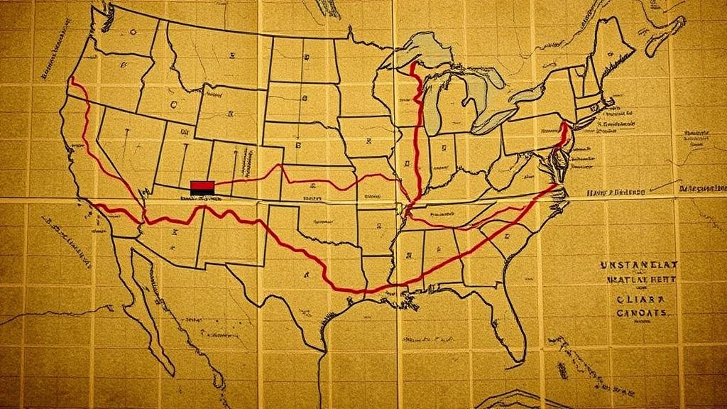
Tracing historical Native American trails necessitates the use of various mapping techniques and technologies. Historical maps, including early European cartographic records and Indigenous maps, serve as primary sources for locating ancient pathways. These maps often incorporate details such as geographic landmarks, water sources, and significant locations.
Geographic Information Systems (GIS) technology now allows researchers to overlay contemporary and historical maps, facilitating a detailed analysis of landscape changes over time. An effective case study is the work of Dr. William J. Cronon, who utilized GIS to map historic transportation routes in Wisconsin, revealing the shifts in trail usage correlated with settlement patterns between Native populations and European settlers.
Field Methods for Artifact Recovery
Fieldwork is a crucial aspect of validating historical maps and locating artifacts along traced trails. Archaeological teams employ surface surveys and excavation methods to recover cultural materials. A notable example is the excavation led by Dr. Keith E. Bente, which identified tool-making locations in present-day North Dakota, directly correlated to paths depicted in 18th-century maps.
- Surface surveys: teams systematically search for artifacts on the ground.
- Test excavations: small-scale digs are performed in areas where artifacts are expected.
Challenges in Tracing Trails
Despite the potential for discovery, significant challenges exist when tracing Native American trails. Factors such as urban development, agricultural expansion, and environmental degradation have erased many historical routes. Also, the reliance on European maps, which may misrepresent Indigenous trails, complicates accurate tracing.
The importance of consulting Indigenous knowledge cannot be overstated. Many Native American communities possess oral histories and traditional ecological knowledge that provide invaluable context for understanding trail systems. Collaborative efforts between archaeologists and Native communities have become essential in ensuring accuracy and respecting cultural significance.
Case Studies and Real-World Applications
Several successful case studies exemplify the benefits of tracing Native American trails. In New Mexico, the Pueblo of Acoma collaborated with archaeologists to recover artifacts along their cultural pathways, leading to a deeper understanding of their historical landscape.
Plus, in Oregon, an initiative to trace the pathways of the Nez Perce tribe has resulted in the preservation of significant historical sites and artifacts. This project not only aims to educate current and future generations but also strengthens the connection between Native Americans and their ancestral lands.
Conclusion
Tracing Native American trails through historical maps is an imperative practice that bridges the gap between past civilizations and contemporary society. By integrating advanced mapping techniques with Indigenous knowledge and archaeological methods, researchers can contribute to the preservation of significant cultural artifacts and histories.
As policymakers recognize the value of cultural heritage, proactive measures must be taken to support collaborative projects that promote historical awareness and artifact conservation. The insights gained from mapping these trails can contribute to enhancing our collective understanding of Native American history, ultimately fostering a more inclusive narrative of Americas past.
In moving forward, it is crucial for researchers to embrace interdisciplinary approaches, respecting Indigenous perspectives while leveraging technological advancements for the effective study of historical Native American trails.
For further reading, consult sources such as the National Park Service, Maps of the Native American experience and Dr. William J. Cronon’s publications on geographical landscapes.


