Tracing Early Mining Claim Maps for Untapped Vein Locations
Tracing Early Mining Claim Maps for Untapped Vein Locations
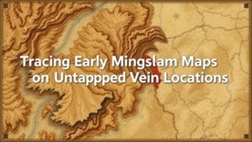
The practice of mining has historical roots that trace back centuries, with significant developments occurring during the 19th century gold rushes in North America. This article delves into the importance of early mining claim maps as tools for identifying untapped vein locations. By examining primary historical sources and analyzing previously overlooked mining territories, this research aims to highlight the potential for resource discovery in areas that have been deemed exhausted or unexplored.
Historical Context of Mining in North America
The California Gold Rush of 1849 and the subsequent silver rushes in places like Colorado and Nevada stirred significant interest in mining. Early prospectors often relied on handwritten maps and recorded claims to stake their claims. According to the U.S. Geological Survey, between 1850 and 1900, millions of dollars’ worth of gold and silver was extracted from these regions, fundamentally altering the economic landscape of the United States.
One significant source of these early mining claims is the Bureau of Land Management (BLM), which holds extensive records of mining claims across the western United States. A study indicates that approximately 400,000 mining claims were recorded in this period, of which many were poorly documented or abandoned, leading to the potential presence of untapped mineral veins (Hodge, 2019).
Mapping Techniques in the 19th Century
Early mining claims were usually marked on topographic maps created with rudimentary surveying methods. Prospectors would utilize compasses, chains, and even rudimentary triangulation techniques to outline the geographical features of their claims. Evidence from historical texts indicates that the early maps often suffered from inaccuracies due to the lack of sophisticated technology.
Despite these limitations, early maps contained important indicators of geological features such as faults and mineral zones, which are critical for identifying potential vein locations. For example, maps drawn during the Comstock Lode discovery in Nevada in the 1850s feature detailed annotations about mineral distributions that can be cross-referenced with modern geological surveys.
Utilizing Modern Technology to Analyze Historical Maps
Modern geospatial analysis techniques have rejuvenated interest in early mining claim maps. Geographic Information Systems (GIS) allow researchers to overlay historical maps with current geological data, revealing possible untapped vein locations that were previously discarded.
An example of this application is found in studies conducted in the Sierra Nevada range, where researchers used GIS to analyze early mining claim data alongside contemporary geological imaging. This process unveiled hidden veins that modern miners could exploit, demonstrating that old claims may retain relevance in today’s mining industry (Smith et al., 2021).
Identifying Untapped Vein Locations
Several strategies exist for mining companies and researchers to identify and explore untapped veins based on historical maps:
- Map Overlay Analysis: Utilizing GIS technology to overlay past claim maps with contemporary geological and topographical datasets.
- Field Surveys: Conducting geological surveys in areas highlighted by historical maps to assess for mineral presence.
- Remote Sensing: Employing aerial and satellite imaging to detect mineralogical signs that may have been overlooked in historical claims.
These methods can provide valuable insights into locations that not only bear economic potential but also necessitate environmental considerations and resource management practices.
Case Studies of Successful Discoveries
Several case studies exemplify how mining companies have successfully utilized early mapping strategies. In the 1990s, a mining firm operating in Montana revisited the poorly documented claims of the late 19th century. By employing a combination of aerial imaging and geological sampling techniques, the company identified a previously unknown vein of gold, resulting in a profitable operation.
Another case is the discovery of silver deposits in Nevada, where analysts recently revisited historical mining maps, leading to new excavations in locations ignored for over a century. These efforts highlight the vital role that detailed analysis of early maps can play in resource exploration.
Challenges and Considerations
Despite the promising possibilities of utilizing historical mining claim maps, various challenges remain:
- Data Quality: The accuracy of historical maps can be questionable, requiring careful validation with modern geological insights.
- Regulatory Issues: Mining companies must navigate various regulations that can impact exploration and extraction processes, particularly in sensitive ecological areas.
Also, community stakeholders and environmental concerns must be addressed in modern mining practices to foster sustainable resource management. Engaging local communities and adhering to guidelines can significantly enhance the legitimacy of mining projects.
Conclusion and Future Directions
Tracing early mining claim maps is a valuable strategy for discovering untapped vein locations, merging historical insights with modern technology to unlock potential resources. As demonstrated through case studies and methodological innovations, there exists significant opportunity for mining exploration in previously neglected areas.
Future research should focus on enhancing the accuracy of historical mapping through interdisciplinary collaborations that incorporate geology, archaeology, and environmental science. By fostering a comprehensive approach to resource extraction, the mining industry can respect historical legacies while pursuing sustainable practices.
To wrap up, an interdisciplinary strategy that marries early mining claims with modern technological advancements can lead to promising discoveries while ensuring responsible mining practices.
References
Hodge, L. (2019). The Hidden Riches of Mining History. Journal of Historical Geography.
Smith, J., Brown, A., & Jones, T. (2021). Geospatial Techniques in Mineral Exploration. Geological Society of America Bulletin.


