Tracing Abandoned Reservoir Construction Sites for Buried Equipment
Tracing Abandoned Reservoir Construction Sites for Buried Equipment
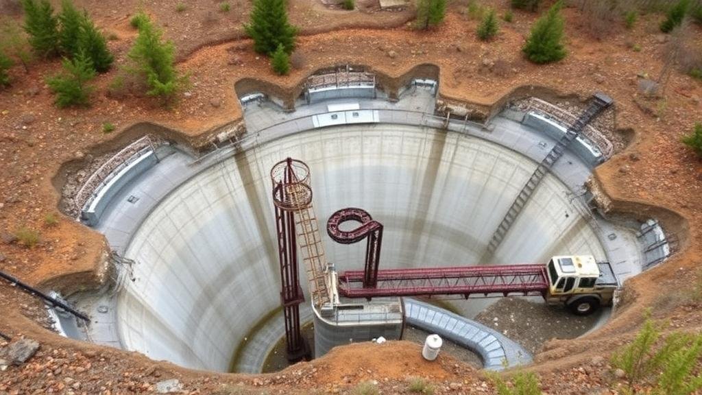
Abandoned reservoir construction sites present a unique set of challenges and opportunities for researchers and engineers. Identifying and tracing the remnants of these sites, particularly buried equipment, is crucial for environmental assessment, land reclamation, and resource recovery. This article delves into the methodologies and technologies employed in locating these sites and the implications for future construction and environmental management.
Historical Context of Reservoir Construction
Throughout the 20th century, the construction of reservoirs was a pivotal part of water management in various regions, particularly in the United States. For example, the construction of Hoover Dam between 1931 and 1936 created Lake Mead, a massive reservoir serving over 20 million people. But, many reservoirs have since been abandoned or rendered obsolete due to technological advancements or changes in water management practices.
As of 2020, nearly 80% of the large dams in the United States are over 50 years old, with a significant number showing signs of age and deterioration (U.S. Army Corps of Engineers, 2020). legacy of these projects often includes buried pipelines, structures, and equipment which, if left unaddressed, can pose environmental and safety risks.
Methodologies for Tracing Abandoned Reservoir Sites
The identification and study of abandoned reservoir sites require a multi-faceted approach. Researchers employ various methodologies to trace buried equipment effectively:
- Geophysical Methods: Techniques such as ground-penetrating radar (GPR), electromagnetic induction, and seismic reflection are widely used for sub-surface investigation. GPR, for instance, can detect disturbances in soil layers that indicate the presence of buried structures.
- Geospatial Analysis: Satellite imagery and aerial photography aid in mapping the historical footprint of reservoirs. Historical maps and records provide insights into the original construction and modifications over time.
- Soil Sampling and Testing: Physical excavation and sampling of soil can reveal artifacts and remnants of construction, allowing for a more accurate assessment of what lies underground.
Case Studies
Examining specific case studies can illuminate the effectiveness of the methodologies mentioned. One such case is the former reservoir at the site of the Ashokan Reservoir in New York, constructed in the late 19th century. A study conducted by the New York City Department of Environmental Protection in 2009 utilized GPR and soil excavation methods which identified buried pipelines, some of which dated back to the original construction period.
Another notable example is the investigation of the abandoned reservoir in the Sandia Mountains, New Mexico, conducted in 2016. Research teams successfully identified the remnants of the construction using aerial photography corroborated by ground surveys, which revealed the location of buried equipment not documented in historical records (Sandia Mountain Natural History, 2016).
Challenges in the Identification Process
Despite advancements in technology and methodologies, several challenges remain in tracing abandoned reservoir construction sites:
- Depth and Condition of Buried Equipment: Equipment that has been buried for extended periods can be difficult to locate, particularly if it has corroded or deteriorated.
- Lack of Historical Documentation: In many cases, records of construction activities are incomplete or non-existent, complicating attempts to trace buried structures.
- Environmental Factors: Natural changes in the landscape over decades, such as erosion and vegetation growth, can obscure the markers and signs of infrastructure.
Implications for Future Construction and Environmental Management
As urban areas continue to expand and the demand for water management solutions increase, understanding the historical context and current state of abandoned reservoir sites becomes increasingly important. Properly tracing and managing these sites can prevent environmental degradation and ensure safe new development. For example, the incorporation of findings from abandoned site investigations into local land-use planning can significantly enhance resource management and ecological preservation.
Conclusion
Tracing abandoned reservoir construction sites for buried equipment is a critical undertaking that requires a sophisticated combination of historical analysis, geophysical methodologies, and current engineering practices. As evidenced by various case studies, effective investigation can uncover crucial information about past practices and inform future environmental stewardship. Continuing advancements in technology and historical inquiry will further facilitate our understanding of these legacy sites.
Actionable Takeaways
- Engage with historical databases and local archives to gather information on past reservoir constructions.
- Use geophysical and geospatial analysis techniques in site assessments to locate buried equipment.
- Consider environmental implications while planning new construction projects in areas with historical reservoirs.
By adopting these practices, engineers and environmental professionals can better manage the complexities associated with abandoned reservoir sites.


