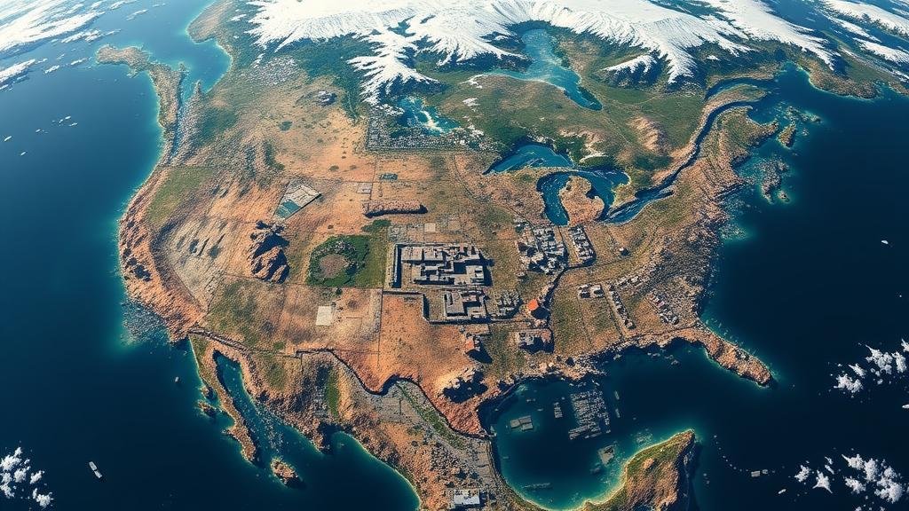
The role of satellite imagery in locating lost cities in inaccessible regions.
The Role of Satellite Imagery in Locating Lost Cities in Inaccessible Regions
Satellite imagery has become an essential tool in the field of archaeology. It allows researchers to uncover lost cities and ancient civilizations that have remained hidden for centuries, often in regions that are difficult to access due to dense vegetation, rugged terrain, or modern urban development. This article discusses how satellite imagery contributes significantly to the discovery of these forgotten places and highlights several notable examples.
Understanding Satellite Imagery
Satellite imagery refers to the use of images of Earth captured by satellites equipped with various types of sensors. e sensors can detect different wavelengths of light and provide images that help identify surface features, land use, and vegetation cover. Two primary types of satellite imagery used in archaeological research include:
- Optical Imagery: Provides visible light images, useful for detecting surface structures and vegetation patterns.
- LiDAR (Light Detection and Ranging): Uses laser pulses to measure distances, enabling researchers to penetrate dense foliage and reveal subsurface features.
The Process of Discovery
Archaeologists leverage satellite imagery in a systematic process for locating lost cities. This includes:
- Initial Analysis: Researchers begin with a comprehensive study of existing historical records and maps to identify potential areas of interest.
- Imagery Acquisition: High-resolution satellite images or LiDAR data are obtained for the targeted regions.
- Feature Identification: The imagery is analyzed for signs of archaeological features, such as ancient road networks, building foundations, or irrigation systems.
- Field Verification: Potential sites identified through satellite imagery are then investigated on-site to confirm archaeological findings.
Notable Discoveries Using Satellite Imagery
Several remarkable archaeological discoveries illustrate the effectiveness of satellite imagery in locating lost cities. Some prominent examples include:
- Bagan, Myanmar: In 2015, researchers used satellite imagery to map the 10,000 ancient temples in the Bagan archaeological zone. This data revealed hidden structures, enhancing our understanding of the regions historical development.
- Angkor Wat, Cambodia: A project leveraging LiDAR technology uncovered an extensive urban network surrounding Angkor Wat, indicating a civilization much larger than previously understood. This finding showcased that the Khmer Empire was supported by advanced water management and agriculture.
- Machu Picchu Region, Peru: Satellite imagery helped identify several new archaeological sites in the Andes, contributing to insights about Incan settlement patterns and their adaptation to mountainous environments.
Benefits and Limitations of Satellite Imagery
While satellite imagery is a powerful resource, it has its advantages and limitations. Key benefits include:
- Accessibility: Satellite imagery can survey large, inaccessible areas quickly, making it ideal for preliminary assessments.
- Cost-Effectiveness: Compared to traditional survey methods, satellite data analysis can be more economical, especially in remote locations.
- Comprehensive Data: It provides a macro view of landscapes, revealing patterns that would be challenging to detect on the ground.
But, there are limitations as well:
- Resolution Constraints: Low-resolution images may miss small but significant features.
- Data Interpretation: Accurate interpretation requires specialized training and can lead to misidentification if not performed skillfully.
- Environmental Factors: Factors like cloud cover or seasonal changes can affect the quality of satellite images and hinder visibility.
Conclusion and Future Implications
As technology advances, the role of satellite imagery in archaeology will likely become even more significant. The combination of artificial intelligence and machine learning with satellite data can lead to enhanced feature detection and classification, potentially unearthing more lost cities and civilizations in the future.
In summary, satellite imagery is revolutionizing archaeology by uncovering lost cities that have long been inaccessible. As this technology evolves, so will our understanding of ancient societies and their lifeways. For researchers, blending traditional fieldwork with cutting-edge technology creates a promising path forward in the quest to reclaim lost histories.


