The Role of Old Harbor Maps in Tracking Down Lost Maritime Wealth
The Role of Old Harbor Maps in Tracking Down Lost Maritime Wealth
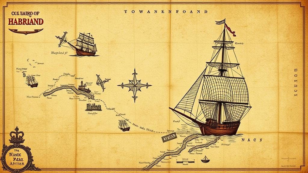
Old harbor maps serve as invaluable resources for researchers, historians, and treasure hunters seeking to uncover lost maritime wealth. These documents, often created between the 15th and 19th centuries, provide significant insights into past maritime activities, shipping routes, and the economic landscapes of coastal regions. This article explores how these maps assist in locating submerged treasures and shipwrecks, their historical context, and their relevance in modern maritime archaeology.
Historical Context of Harbor Maps
Harbor maps emerged during a time when maritime trade was paramount to economic prosperity. Basic cartography was initially employed for navigation and regional exploration, but as maritime commerce expanded, so did the sophistication and detail of maps.
Early harbor maps, such as those created by the Dutch cartographer Gerardus Mercator in the late 16th century, played a crucial role in maritime navigation. These maps illustrated important coastal features and navigational hazards, which were critical for sailors traversing the treacherous waters of the North Atlantic, Mediterranean, and beyond. For example, the 1585 map of the Caribbean by Mercator provided insights into the routes ships would take while also marking potential trading ports and hidden reefs.
Importance of Old Harbor Maps in Maritime Archaeology
Maritime archaeology utilizes old harbor maps as essential tools in tracing historical shipping routes, locating shipwrecks, and understanding the economic practices of maritime societies. By providing geographical context, these maps delineate areas of high commercial activity, increasing the likelihood of discovering sunken treasures or lost vessels.
- Case Study: The Spanish Galleon Atocha РThe 1622 sinking of the Spanish galleon Nuestra Se̱ora de Atocha off the coast of Florida is an exemplary case. Treasure hunters used historical maps to identify the ships likely resting grounds. In 1985, artifacts worth approximately $450 million were recovered, illustrating how maps can guide treasure hunting.
- Case Study: The Port of London – Historical maps of the Port of London, dating back to the 1700s, have revealed the locations of shipwrecks in the Thames River, offering insight into trade routes and cargo that were lost to history.
Data Analysis and Mapping Techniques
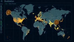
Modern applications of technology, including Geographic Information Systems (GIS), further enhance the utility of old harbor maps. By digitizing historical maps, researchers can overlay them on contemporary maps to identify changes in coastal geography due to natural erosion or urban development.
For example, research conducted by the University of Southampton demonstrated how GIS technology has improved the ability to locate shipwrecks by analyzing historical shipping routes alongside oceanographic data. This interdisciplinary approach has proven effective in targeting areas of significant maritime activity in the past.
Challenges in Using Old Harbor Maps
While old harbor maps are valuable, they also pose challenges. The accuracy of these maps can be affected by various factors, including the skill of the cartographer and the limitations of the available technology at the time of their creation. Many maps might inaccurately represent coastal features or fail to capture small shifts in geography over centuries.
Also, the interpretation of symbols and markings used on these maps can be challenging for modern researchers. For example, a symbol that marked a relatively small fishing boat in the past may be misinterpreted as denoting a significant vessel. Researchers must often cross-reference multiple sources to clarify ambiguities.
Conclusion and Future Directions
The significance of old harbor maps in tracking down lost maritime wealth cannot be understated. provide critical data that enhances our understanding of maritime history, economic practices, and the complex interactions between various coastal communities. The integration of modern technologies, such as GIS, has expanded the potential for uncovering treasures that have remained hidden for centuries.
As maritime archaeology continues to evolve, it is essential to maintain a balanced approach by recognizing both the potentials and limitations of old harbor maps. Future research should focus on collaborative efforts between historians, archaeologists, and technology experts to further refine methodologies that utilize these historical resources effectively.
In summary, old harbor maps represent not just remnants of the past, but vital tools that bridge history and modern exploration. By ensuring rigorous scholarly examination and embracing technological advancements, the quest for lost maritime wealth can continue to thrive, revealing the stories of our shared maritime heritage.


