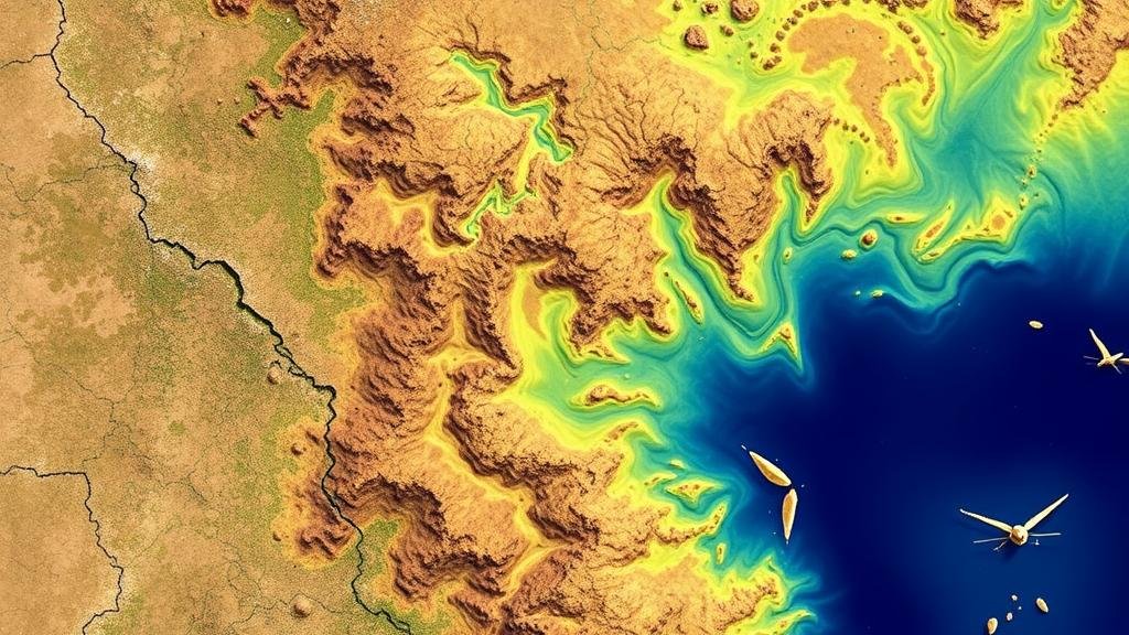
The Role of Multispectral Satellite Data in Prospecting for Hidden Gold Zones
The Role of Multispectral Satellite Data in Prospecting for Hidden Gold Zones
The exploration and extraction of gold have long been fundamental to global economies and local communities. With increasing pressure on resources and a rising need for sustainable mining practices, the role of technology in gold prospecting has never been more critical. Multispectral satellite data emerges as a potent tool in this context, uncovering hidden gold zones that might otherwise remain undiscovered.
Understanding Multispectral Satellite Data
Multispectral satellite data refers to the collection of information across various wavelengths of the electromagnetic spectrum, capturing specific spectral signatures that can be indicative of different materials on Earth’s surface. e satellites are equipped with sensors that detect light across multiple bands, providing insights into vegetation, minerals, and land use.
In gold prospecting, this data can highlight geological features and mineral alterations linked with gold deposits. For example, bands in the visible and infrared spectrum can reveal the presence of iron oxides or clay minerals often associated with gold-bearing formations.
Geological Significance of Spectral Signatures
One of the key advantages of using multispectral data is its ability to detect subtle differences in surface materials. Spectral signatures–in essence, the unique way materials interact with light–can indicate the presence of gold deposits. Geologists interpret these signatures to infer the mineral composition of the subsurface.
- For example, an increase in clay minerals might suggest hydrothermal alteration, a process commonly associated with gold deposits.
- Iron oxides can also indicate weathering processes that could point to gold-bearing rocks.
Case Studies Demonstrating Efficacy
Several case studies substantiate the effectiveness of multispectral satellite data in gold exploration. One notable example is the use of the Landsat program in Australia, where researchers identified potential gold zones by analyzing spectral data coupled with ground-truthing.
In 2017, a study conducted in the Pilbara region of Western Australia used Landsat 8s multispectral data to detect signatures associated with gold mineralization. The results successfully identified several previously undocumented gold zones, leading to further exploratory drilling and subsequent gold discoveries.
Integrating Multispectral Data with Other Technologies
While multispectral satellite data is invaluable, its true potential is often unlocked by integrating it with other technological advancements. Geospatial analysis tools, Geographic Information Systems (GIS), and even Artificial Intelligence (AI) can enhance the accuracy of predictions regarding gold zones.
- GIS systems can overlay spectral data with topographic and geological maps, providing deeper context for potential mining sites.
- AI algorithms can analyze vast datasets quickly, identifying patterns that humans might overlook, thus refining prospecting efforts.
Challenges and Limitations
Despite its advantages, there are challenges associated with using multispectral satellite data in gold prospecting. The accuracy of spectral data can be impacted by atmospheric conditions, vegetation cover, and soil moisture. Also, professional expertise is required for proper interpretation of the data.
- For example, dense vegetation can obscure signals from the ground, potentially leading to misinterpretations.
- Also, legal and environmental factors must also be considered as potential sites for gold mining might cross sensitive ecosystems or regulated areas.
Actionable Takeaways
Multispectral satellite data offers a modern approach to uncovering hidden gold zones by analyzing the Earths surface for geological indicators and anomalies. To effectively utilize this technology, prospectors should:
- Leverage multispectral data alongside GIS tools to appreciate the broader geological context.
- Combine satellite data with on-the-ground exploration to validate findings and adjust methodologies based on real-world observations.
- Stay informed about advances in data interpretation techniques and artificial intelligence to remain at the forefront of exploration technology.
To wrap up, multispectral satellite data is a transformative tool in gold prospecting, capable of revealing hidden gems beneath the surface. As technology continues to evolve, embracing these innovations will be key to future successes in the mining industry.


