The Role of AI in Combining Historical Geological Maps and Modern Surveys
The Role of AI in Combining Historical Geological Maps and Modern Surveys
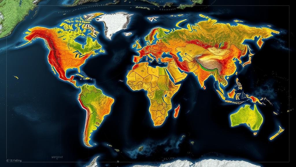
Artificial Intelligence (AI) is increasingly playing a pivotal role in the analysis and integration of historical geological maps with contemporary survey data. This intersection not only enhances our understanding of geological formations but also aids in resource management, urban planning, and environmental monitoring. This article examines the historical context, technological advancements, and case studies illustrating the effectiveness of AI in this domain.
Historical Context of Geological Mapping
Geological maps have been produced for centuries, providing vital information on the composition and structure of the Earths crust. For example, the first geological map was created by William Smith in 1815, representing the geology of England and Wales. Over the years, these maps have evolved, with notable contributions made by organizations such as the United States Geological Survey (USGS) and various international geological institutions.
The advancements in geological mapping techniques have led to the production of detailed maps that capture information about rock types, mineral deposits, and tectonic features. But, integrating these historical maps with modern surveys presents challenges due to differences in scale, resolution, and data representation.
The Role of AI in Geological Data Integration
AI technologies, particularly machine learning and image processing algorithms, have emerged as powerful tools for overcoming the challenges associated with the integration of historical and modern geological data. e technologies can analyze large datasets, identify patterns, and generate insights that are not readily apparent through traditional methods.
- Machine Learning Algorithms: These can be trained to recognize geological features in high-resolution satellite imagery, enabling geologists to correlate historical map data with contemporary observations.
- Image Recognition: AI algorithms can be utilized to digitize and classify historical maps, allowing for more accessible data retrieval and comparative studies with modern surveys.
Case Studies: Successful Applications of AI
Several case studies demonstrate the practical applications of AI in combining historical geological maps with current data. One notable example is the research conducted in the Appalachian region of the United States.
In a study published in the International Journal of Applied Earth Observation and Geoinformation, researchers employed machine learning models to analyze geological formations captured in historical maps against modern lidar (Light Detection and Ranging) data. The findings revealed significant correlations that aided in mapping previously missed mineral deposits, enhancing natural resource exploration. integration process employed consisted of the following methods:
- Data Preprocessing: Normalizing historical map data to align with the scale and format of modern surveys.
- Feature Extraction: Utilizing convolutional neural networks (CNNs) to identify unique geological features across both datasets.
- Validation and Comparison: Cross-referencing AI predictions with field data to ensure accuracy and reliability.
The Impact of AI on Geological Research and Resource Management
The integration of AI technologies has resulted in significant advancements in geological research and resource management. For example, the AI-driven analysis of historical maps has not only facilitated a better understanding of geological formations but has also proven invaluable in identifying sites for sustainable mineral extraction.
According to a report by the World Economic Forum, the application of AI in geological surveys can increase the efficiency of mineral exploration operations by up to 30%, leading to considerable cost savings in resource extraction. These efficiencies are particularly important in regions where resource extraction can have significant environmental impacts, thus encouraging more responsible practices.
Challenges and Future Directions
Despite the numerous benefits associated with combining historical geological maps and modern surveys through AI, several challenges remain. One major concern is the availability and quality of historical data. Many historical geological maps exist in analog formats, which require digitization before being used for modern analyses.
Plus, the potential for bias in AI models, based on the training data used, may lead to inaccurate predictions or misinterpretations. It is essential to continue developing robust validation strategies to ensure that AI applications in this field deliver accurate and reliable results.
Future research should focus on enhancing AI algorithms, improving data integration methodologies, and expanding collaboration between geologists and data scientists. Such efforts are vital in maximizing the potential of AI in geological surveys.
Conclusion
AIs role in integrating historical geological maps with modern surveys is becoming increasingly crucial in our efforts to understand geological structures and manage natural resources effectively. By leveraging advanced technologies such as machine learning and image recognition, geologists can uncover insights that were previously unattainable. As we continue to navigate the complexities of geological data and its implications for society, the integration of AI will undoubtedly play a game-changing role in the field.
Actionable Takeaway: Institutions and researchers are encouraged to invest in AI technologies and training to fully harness the benefits of historical and modern geological data integration, paving the way for innovations in resource management and environmental sustainability.


