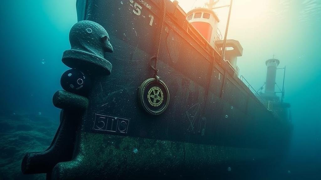
Techniques for Targeting Cargo Areas in Sunken Merchant Ships
Techniques for Targeting Cargo Areas in Sunken Merchant Ships
Sunken merchant ships present invaluable opportunities for both archaeological discovery and the retrieval of lost cargo. Given the complexities associated with underwater environments, it is crucial to adopt a systematic approach to locate and target cargo areas within these sunken vessels. This article explores the techniques employed in locating and accessing cargo holds of sunken merchant ships, highlighting both technological advancements and historical methodologies.
Understanding the Underwater Environment
Before delving into techniques for targeting cargo areas, it is important to understand the unique conditions of underwater environments. Factors such as water temperature, salinity, and biological activity can significantly affect visibility and access. Plus, sediment build-up and the structure of the wreck itself can obscure cargo areas, making targeted exploration challenging.
For example, the wreck of the RMS Titanic, located approximately 12,500 feet below sea level, is shrouded in a complex matrix of cold, high-pressure water and sediment. This environment not only complicates visibility but also necessitates specific methodologies to discern between the ships structure and its cargo.
Mapping and Survey Techniques
Effective survey techniques are foundational to targeting cargo areas. Two primary methods include:
- Sonar Imaging: Side-scan sonar is extensively used in underwater archaeology and salvage operations. It generates images of the seabed and submerged objects using sonar waves. For example, the use of side-scan sonar helped locate the wreck of the MV Rena, sunk off the coast of New Zealand in 2011, allowing teams to identify and target key cargo areas.
- Remote Operated Vehicles (ROVs): ROVs equipped with cameras and manipulative devices can explore cargo holds in detail. successful deployment of ROVs was evident in the recovery operations of the USS Monitor, where divers utilized ROVs to assess its condition and recover specific artifacts from inside the hull.
Assessment of Historical Records
Historical documentation plays a vital role in understanding the cargo areas of sunken vessels. Ship manifests, insurance records, and logs can provide insights into what was onboard at the time of sinking. A prominent example is the recovery of gold from the SS Central America, which sank in 1857. Detailed manifests facilitated focused recovery efforts, leading to the retrieval of gold and precious items valued at over $100 million.
Modern teams are now utilizing digital resources, including satellite imaging and archival databases, to reconstruct historical shipping routes and cargo manifests. By correlating this data with sonar imaging, teams can create a well-rounded profile of potential cargo locations within a wreck.
Excavation Techniques
Once potential cargo areas are identified, excavation techniques come into play. These techniques must be both effective and environmentally sensitive to minimize disruption to the surrounding ecosystem.
- Scuba Diving: For shallow wrecks, experienced divers are often the primary means of excavation. This technique allows for detailed physical appraisal of artifacts. While initial diving teams focused on treasure hunting, modern practices emphasize archaeological methods to preserve the integrity of the site.
- Hydraulic Tools: In deeper waters, hydraulic tools such as cutting saws and drills can be utilized by ROVs to access cargo holds. The ongoing study of the cargo ship El Faro, which sank in 2015, highlights how hydraulic systems have been instrumental in reaching and recovering its lost cargo safely.
Legal and Ethical Considerations
As the interest in sunken merchant ships grows, so do the legal and ethical considerations surrounding their exploration. Many nations have submerged cultural heritage laws protecting shipwrecks. For example, the United Nations Educational, Scientific and Cultural Organization (UNESCO) has established the Convention on the Means of Prohibiting and Preventing the Illicit Import, Export and Transfer of Ownership of Cultural Property, which includes underwater cultural heritage.
Engaging with local governments and adhering to the principles of responsible archaeology are crucial. The case of the Antikythera wreck further illustrates this point. Following the discovery of rich cargo, the Greek government took control of the site to ensure preservation and respectful excavation practices, stressing the importance of viewing these sites not merely as treasure hunting grounds but as historical and cultural assets.
Conclusion and Actionable Takeaways
Targeting cargo areas in sunken merchant ships involves a multidisciplinary approach that combines advanced technology, historical research, and ethical considerations. Marine archaeologists and salvage operators can leverage techniques such as sonar imaging and ROVs, alongside careful assessment of historical data, to optimize their recovery processes.
For organizations engaged in this area, the following action points can enhance operational efficiency and compliance:
- Invest in modern sonar and imaging technologies to improve site mapping and cargo identification.
- Conduct thorough historical research to inform excavation strategies and uncover potential cargo areas.
- Adhere to legal frameworks and ethical guidelines to respect the cultural significance of shipwrecks.
Collectively, these practices not only improve recovery efforts but also foster greater respect for maritime heritage in the quest to uncover the stories of our sunken past.


