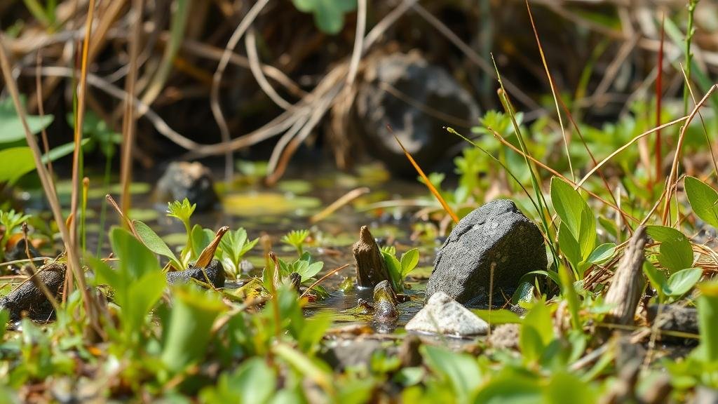
Techniques for Spotting Relics Hidden in Vegetation-Dense Wetlands
Techniques for Spotting Relics Hidden in Vegetation-Dense Wetlands
Wetlands are rich ecosystems characterized by saturated soils and lush vegetation, providing unique habitats for myriad species and serving essential environmental functions. But, these dense vegetative layers can also obscure significant archaeological relics and artifacts that tell the story of past civilizations. This article explores effective techniques for identifying these hidden relics in such challenging environments.
Understanding the Wetland Environment
Before delving into techniques, it is essential to understand the wetland landscape. Wetlands often feature diverse plant life, including grasses, reeds, and shrubs, as well as varying water levels throughout different seasons. This biodiversity not only supports wildlife but can also conceal artifacts that might provide insights into historical human activities. The interplay of soil types, hydrology, and vegetation creates a multilayered challenge for archaeologists and treasure hunters alike.
Utilizing Aerial Surveys
Aerial surveys are an effective method for spotting potential archaeological sites in dense wetlands. Drones equipped with high-resolution cameras or LiDAR (Light Detection and Ranging) can capture detailed images and topographical data without physically disturbing the site. LiDAR technology is particularly useful as it can penetrate vegetation and reveal ground surface features.
For example, a study in the Amazon rainforest employed LiDAR technology to uncover ancient earthworks and settlements previously hidden beneath dense vegetation. This method not only saves time but also allows for a non-invasive examination of the landscape.
Conducting Ground Penetrating Radar (GPR) Surveys
Ground Penetrating Radar (GPR) serves as another powerful tool in locating hidden relics within wetland environments. By sending radar pulses into the ground, GPR can detect anomalies beneath the surface, such as buried structures or lost artifacts, without the need for excavation.
A notable case occurred at an archaeological site in the Great Dismal Swamp, Virginia, where GPR helped identify the location of prehistoric human habitation. This technology provided critical data regarding the spatial organization of the site and informed future excavation efforts.
Observational Techniques
While technological methods are effective, traditional observational techniques remain invaluable, especially for experienced archaeologists. Observing the ground for disturbances, unique soil patterns, or changes in vegetation can yield clues about underlying artifacts.
- Vegetation Indicators: Specific plant species may signal the presence of certain types of buried materials. For example, unusual growth patterns may indicate soil enrichment due to decomposing organic materials from ancient human activities.
- Surface Artifacts: Shallowly buried artifacts can sometimes become exposed due to erosion or animal activity. Training in recognizing such context can enhance artifact recovery efforts.
Stratigraphic Analysis
Stratigraphic analysis is vital for understanding the chronological context of any findings in wetland environments. By examining soil layers, archaeologists can ascertain periods of occupation and activity. For example, in a wetland site in Louisiana, stratigraphic analysis revealed layers corresponding to distinct cultural periods, allowing researchers to piece together the timeline of human interaction with the landscape.
Collaboration with Environmental Scientists
Collaboration between archaeologists and environmental scientists is crucial for effective exploration in wetlands. Environmental scientists can provide insights into hydrology and local ecology that affect visibility and artifact preservation, enhancing the overall archaeological strategy.
For example, insights gained from studying sedimentation patterns can guide archaeologists in anticipating where artifacts are more likely to be found based on historical flooding or erosion events. Such collaborative efforts can lead to much more targeted and effective searches.
Real-World Applications and Case Studies
Numerous archaeological projects have successfully integrated these techniques to uncover hidden relics in wetland areas. research conducted by the Wetlands Archaeology Project in Florida combined aerial surveys and GPR, leading to the discovery of a significant early Native American settlement site. The successful collaboration between technology and traditional methods brought to light valuable cultural artifacts, contributing significantly to the regions archaeological record.
Conclusion and Actionable Takeaways
In summary, identifying relics hidden in vegetation-dense wetlands requires a multidisciplinary approach combining technology, traditional observational techniques, and collaborative efforts with environmental scientists. By utilizing aerial surveys, GPR, stratigraphic analysis, and keen observational techniques, archaeologists can enhance their chances of uncovering the rich history embedded in these vital ecosystems.
To maximize success in such endeavors, it is recommended that teams:
- Invest in modern technologies like drones and GPR to support searches.
- Engage in partnership with environmental specialists to understand site dynamics better.
- Conduct thorough training for team members on observational techniques pertinent to wetland environments.
The journey into understanding our past is complex but made manageable through careful planning and the integration of advanced techniques.


