Techniques for Spotting Long-Forgotten Oasis Settlements
Techniques for Spotting Long-Forgotten Oasis Settlements
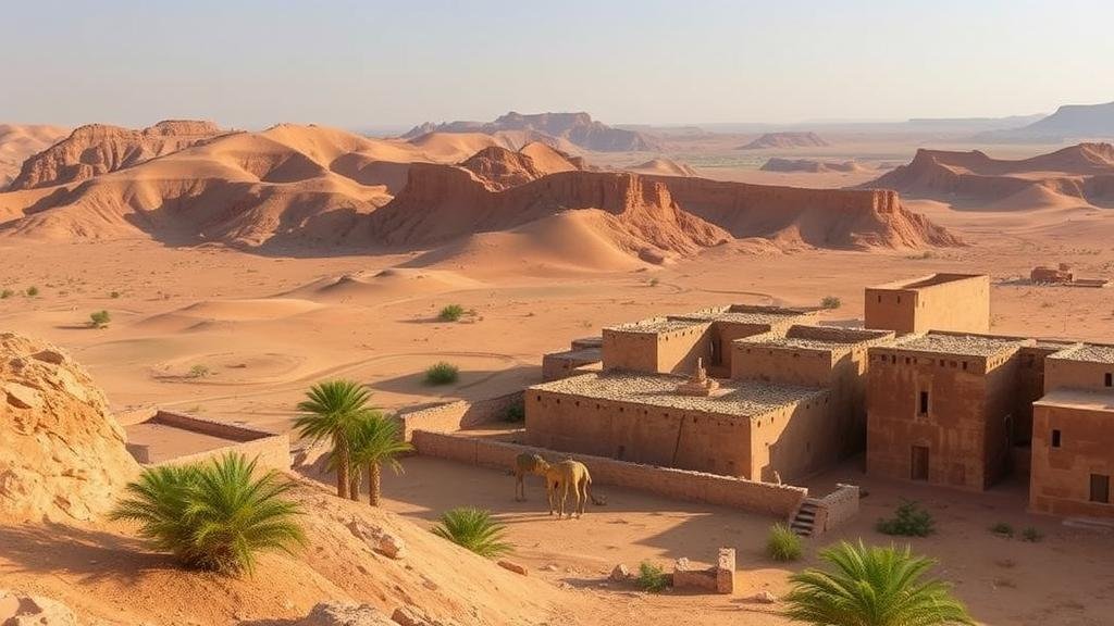
Oases have long served as vital habitats and waypoints for travelers in arid regions, but many of these settlements have faded from memory, leaving behind little more than whispers of their former significance. Discovering these long-forgotten oases involves a combination of archaeological methods, landscape analysis, and modern technology. This article explores various techniques employed by researchers to identify and study these historic sites.
Historical Documentation and Oral Traditions
One of the most promising approaches to uncovering lost oasis settlements is through meticulous research into historical documents and oral traditions. e sources can provide valuable insights into past lifestyles, trade routes, and settlement patterns.
- Historical Maps: Old maps from explorers and cartographers often reveal the locations of now-abandoned oases. For example, the Piri Reis map from the 16th century provides details of trade routes and settlements that can guide modern researchers.
- Literature and Travel Journals: Works by ancient travelers, such as those by Ibn Battuta, can serve as primary sources for locating settlements and understanding their significance. These accounts often describe the geography and local customs that can narrow down search areas.
- Oral Histories: Studying the oral traditions of indigenous tribes can yield significant clues about past settlements, as many cultures maintain memories of their ancestors’ whereabouts.
Archaeological Surveys and Excavation
On-the-ground archaeological methods are essential for validating historical claims and unearthing physical remnants of ancient settlements. Surveys typically follow a systematic approach to increase the chance of discovery.
- Surface Surveys: Researchers conduct extensive walks through potential sites, cataloguing artifacts such as pottery, tools, and remnants of buildings that could indicate past habitation. A notable case is the Karnak Temple site in Egypt, where systematic surveys revealed residential complexes adjacent to the temple structures.
- Geophysical Surveys: Techniques like ground-penetrating radar and magnetometry can detect buried structures without excavation. These non-invasive methods have successfully identified hidden structures, such as those uncovered in Northern Sudan, revealing extensive ancient urban activity.
- Stratigraphic Excavation: This approach involves digging distinct layers to uncover artifacts from specific periods. excavation of a long-lost oasis in Tunisia utilized this method, revealing a wealth of artifacts that provided insight into the settlements flourishing economy.
Remote Sensing and Satellite Imagery
Advancements in remote sensing technology have revolutionized the search for forgotten oases. Satellite imagery allows researchers to analyze geographical features that might indicate the presence of water sources, vegetation, and manmade structures.
- Infrared and Multispectral Imaging: These techniques can highlight vegetation patterns that often correspond to ancient irrigation systems or water supplies. For example, studies in the Arabian Peninsula have used these imaging techniques to spot archaeological remains amidst vast desert landscapes.
- Aerial Photography: Low-flying drones equipped with high-resolution cameras can capture detailed images of vast areas. In Mali, for instance, aerial surveys identified remnants of ancient settlements, which were previously undetectable from the ground.
Environmental and Hydrological Studies
Understanding the historical climatic and hydrological conditions is crucial for locating forgotten oases. Researchers analyze sediment cores and geological samples to infer past water availability and ecosystem dynamics.
- Paleoclimate Analysis: Studies of pollen and other biological markers in sediment can reveal historical climate conditions. By correlating these findings with archaeological data, researchers can pinpoint when oases were most likely to thrive.
- Hydrological Modeling: Modern models simulate historical water flows to predict where oases may have existed based on historical meteorological data and terrain analysis. Such modeling has helped locate potential sites in regions like the Sahara Desert, where ancient rivers are suspected to have directly influenced oasis formation.
Conclusion and Actionable Takeaways
The quest to uncover long-forgotten oasis settlements combines the art of historical research with the science of archaeology and modern technology. By employing a multidisciplinary approach that includes historical documentation, archaeological methods, remote sensing, and environmental studies, scholars can bring to light hidden chapters of human history.
For aspiring researchers or enthusiasts in the field, the following action points may be useful:
- Engage with local history and oral traditions to gather preliminary data about possible sites.
- Consider conducting surface surveys in areas suggested by historical maps or literature.
- Use accessible remote sensing technology for preliminary identification of potential sites.
- Collaborate with environmental scientists for comprehensive hydrological studies that complement archaeological efforts.
Through these techniques, we can illuminate the cultural and historical significance of oasis settlements, offering a window into the resilience and ingenuity of past civilizations.


