Techniques for Mapping Hydrothermal Alteration Zones in Epithermal Systems
Techniques for Mapping Hydrothermal Alteration Zones in Epithermal Systems
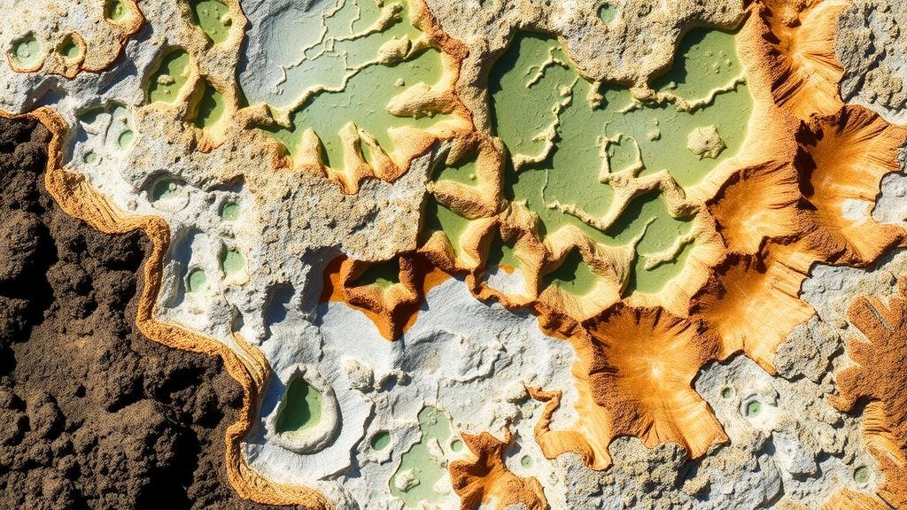
Understanding and mapping hydrothermal alteration zones in epithermal systems are crucial for locating precious metal deposits, especially gold and silver. Hydrothermal alteration is the process by which pre-existing rocks undergo alterations due to interactions with hydrothermal fluids, leading to the formation of unique mineralogical signatures. This article outlines various techniques employed to effectively map these alteration zones, using advanced technology and traditional fieldwork approaches.
1. Geological Mapping
Geological mapping is a fundamental technique for investigating hydrothermal alteration zones. Field geologists analyze physical rock outcrops, collect samples, and document mineral assemblages. Key alteration types in epithermal systems include silicification, argillization, and sericitization. For example, at the Aemmer Gold Project in Nevada, detailed geological mapping revealed extensive argillic alteration bands indicative of a past hydrothermal fluid pathway.
2. Remote Sensing
Remote sensing integrates satellite and aerial imagery to provide a broader perspective on alteration zones. By using multispectral and hyperspectral imaging, geologists can detect specific mineral signatures often associated with hydrothermal alteration. For example, the Landsat 8 satellite can identify clay minerals related to alteration zones, helping to delineate areas of interest prior to more detailed field investigations.
- Multispectral imaging: Useful for identifying broader geological features.
- Hyperspectral imaging: Allows for detailed mineral identification based on spectral signatures.
3. Geochemical Analysis
Geochemical techniques are essential for characterizing the chemical signatures of rocks and soils in hydrothermal systems. Soil sampling combined with geochemical assays can reveal metal concentrations and alterations in mineral composition. For example, at the Gascoyne Golds Dalgaranga project in Western Australia, geochemical mapping pinpointed areas enriched in pathfinder elements such as arsenic and antimony, hinting at nearby gold deposits.
4. Geophysical Methods
Geophysical methods play a critical role in subsurface exploration of hydrothermal systems. Techniques such as resistivity, magnetic surveys, and seismic reflection provide insights into the structure and composition of the rocks. Resistivity surveys, for instance, identify areas with higher fluid content typically found in alteration zones. The use of Induced Polarization (IP) methods has proven effective in delineating structures associated with mineralization at projects like the Caspiche Project in Chile.
- Resistivity methods: Helpful in mapping water and alteration-related features.
- IP methods: Indicate the presence of disseminated mineralization.
5. Drilling and Core Sampling
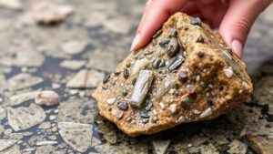
Drilling remains one of the most definitive techniques for confirming the existence of hydrothermal alteration. Core samples provide in-depth insights into the alteration mineralogy and fluid history. This approach is exemplified by the drilling programs at the Goldfields Mining project in Australia, where systematic core sampling revealed significant alteration patterns associated with gold mineralization.
6. Integration of Data and Modeling
Data integration through GIS (Geographic Information Systems) combines the results from various techniques to generate comprehensive models of hydrothermal systems. By layering geological, geochemical, and geophysical data, geoscientists can visualize spatial relationships and potential mineralized zones more accurately. This integrative approach has been successfully applied in projects such as the Pogo Mine in Alaska, leading to efficient exploration decisions.
Conclusion
Mapping hydrothermal alteration zones in epithermal systems requires a multifaceted approach that utilizes geological, geochemical, remote sensing, geophysical methods, and data integration technology. Each technique contributes to refining our understanding of the hydrothermal process and the subsequent mineralization, leading to more targeted exploration efforts. As techniques evolve and technology advances, the ability to accurately map and understand these complex systems will continue to improve, enhancing the efficiency and success rate of mineral exploration.
Actionable Takeaways
- Employ a combination of geological mapping and remote sensing to gain initial insights into alteration zones.
- Use geochemical surveys to identify areas with elevated pathfinder elements that indicate potential mineralization.
- Incorporate geophysical methods to gain a deeper understanding of subsurface properties and fluid pathways.
- Use GIS to integrate data from multiple sources for more accurate modeling of hydrothermal systems.


