Techniques for Locating High-Potential Paleochannel Gold Deposits
Techniques for Locating High-Potential Paleochannel Gold Deposits
Paleochannel gold deposits are historical river pathways that have been filled with sediment, which can potentially contain significant concentrations of gold. The study and exploration of these deposits require a systematic approach, combining geological knowledge with modern technology. This article discusses various techniques used in locating high-potential paleochannel gold deposits, offering a comprehensive view of the methods and processes involved.
Understanding Paleochannels
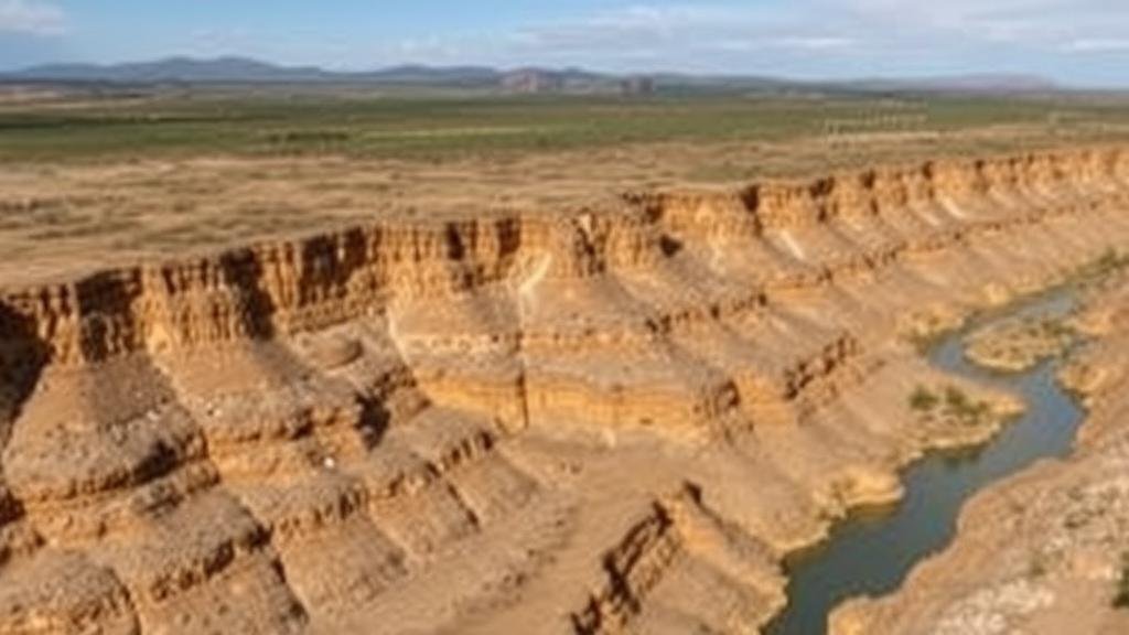
Paleochannels are remnants of ancient river systems, often found in arid and semi-arid regions where rainfall is sparse, and erosion is minimal. can form through processes such as:
- Meandering rivers changing course over time
- Fluvial deposition altering the landscape
- Climate changes leading to variations in water flow
Locating and understanding the formation of these channels is essential in paleochannel gold exploration. Fields with gold-bearing rocks adjacent to paleochannels can offer valuable insights into prospective mining locations.
Geological Mapping and Remote Sensing
One of the foundational techniques in locating paleochannel gold deposits involves geological mapping and remote sensing. High-resolution satellite imagery and aerial photography can reveal surface features indicative of paleochannels, such as:
- Topographical depressions
- Vegetation anomalies that indicate different soil moisture levels
For example, in Western Australia, the use of remote sensing technology has allowed geologists to identify paleochannels that were previously obscured by vegetation and sediment, greatly improving exploration success rates.
Geophysical Surveys
Geophysical techniques serve as valuable tools in determining subsurface features of paleochannels. Common methods include:
- Magnetometry
- Ground Penetrating Radar (GPR)
- Electrical Resistance Surveys
Magnetometry, for example, can detect variations in magnetic susceptibility of sediments, helping to identify channel boundaries, while GPR can provide detailed images of the subsurface structure, allowing for the identification of areas with potential gold accumulation. A notable case in Nevada demonstrated how GPR uncovers buried paleochannels where traditional excavation methods may fail.
Soil Sampling and Analysis
Soil sampling remains a critical technique for locating gold deposits within paleochannels. Systematic soil sampling involves:
- Collecting soil samples at various intervals within a suspected paleochannel
- Analyzing these samples for gold and associated pathfinder elements such as arsenic and antimony
For example, the use of soil sampling in regions of South Africa led to the discovery of high-gold concentrations in materials deposited decades or even centuries ago. This method effectively determines the potential yield without the need for extensive excavation.
Hydraulic Mining Techniques
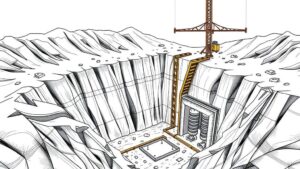
When paleochannel deposits are located, hydraulic mining techniques can be employed to extract gold. This method involves using high-pressure water jets to dislodge soil and sediment, which is then processed for gold recovery. One successful example was seen during the California Gold Rush, where hydraulic mining techniques allowed miners to access deep paleochannel deposits efficiently.
Using Data Modeling and Machine Learning
The modern exploration field increasingly incorporates data modeling and machine learning algorithms to analyze complex geological data. By processing large datasets regarding mineral composition, geophysical properties, and historical mining activity, these tools can predict the most likely locations of gold deposits in paleochannels. An example of this is the use of machine learning algorithms in Australia, where mining companies trained models on past exploration data to refine their target areas significantly.
Conclusion
Locating high-potential paleochannel gold deposits is a multifaceted process that combines traditional geological methods with cutting-edge technology. Techniques such as geological mapping, geophysical surveys, soil sampling, hydraulic mining, and artificial intelligence are all vital in enhancing the success rate of gold exploration. As technology continues to advance, the accuracy and efficiency of locating these deposits will only improve, leading to more sustainable and profitable mining operations.
Actionable Takeaways
- Use a combination of geological mapping and remote sensing for initial site assessments.
- Incorporate geophysical surveys to gather subsurface data before excavation.
- Conduct thorough soil analyses to identify gold-bearing areas systematically.
- Explore historic mining techniques while adapting to modern environmental standards.
- Leverage data modeling and machine learning to refine exploration strategies.


