Techniques for Identifying Relic Hotspots in Overgrown Historical Sites
Techniques for Identifying Relic Hotspots in Overgrown Historical Sites
The preservation and exploration of historical sites often encounter significant challenges due to overgrowth, which can obscure important relics and artifacts. Identifying relic hotspots–in other words, areas with a high probability of containing significant historical finds–requires a blend of traditional archaeological methods and modern technology. This article elucidates various techniques effective for uncovering these relic hotspots, allowing historians and archaeologists to conduct their work more efficiently.
Understanding Overgrown Historical Sites
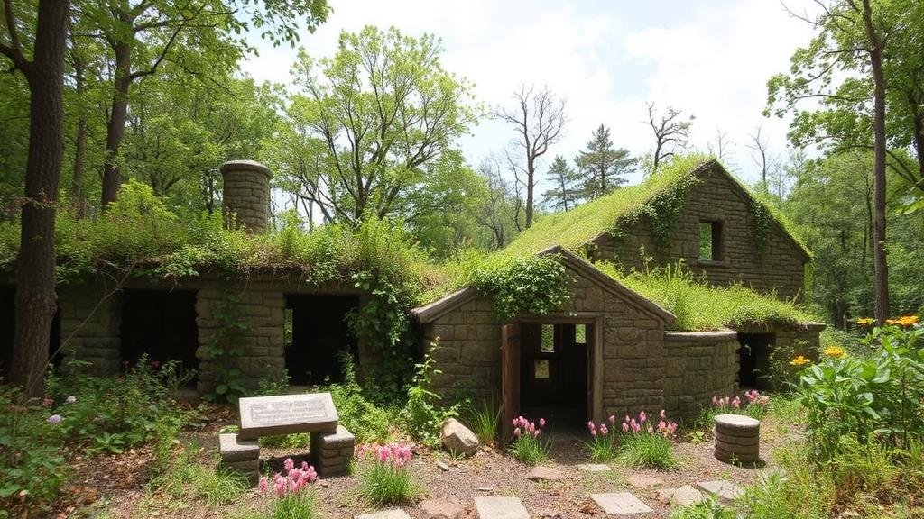
Overgrown historical sites can present obstacles such as dense vegetation, soil erosion, and degradation of artifacts. e challenges necessitate a tailored approach to archaeological surveys. Historical contexts–such as the sites past usage, location, and documentary evidence–are vital in forming hypotheses about where relics might be located. Ultimately, the identification of relic hotspots often combines fieldwork with investigative techniques from disciplines like geology, ecology, and remote sensing.
1. Historical Research
Before embarking on physical explorations, a thorough review of historical documents can provide critical insights. Primary sources, such as diaries, land grants, maps, and photographs, can reveal areas of activity or settlement patterns that may suggest potential hotspots.
- Case Study: At the site of an 18th century European settlement, researchers analyzed archival records detailing the location of food storage facilities. This information guided archaeologists to focus their excavation efforts around the documented areas, resulting in significant finds.
- Example: Local historical societies can provide access to materials that reveal significant patterns of human activity, often including maps changed by time and nature.
2. Geophysical Surveys
Geophysical methods allow archaeologists to non-invasively survey vast areas, enabling the identification of anomalies beneath the soil. Common techniques include magnetometry, ground penetrating radar (GPR), and electrical resistivity.
- Magnetometry: Measures variations in the magnetic field to identify potential archaeological features, such as fire pits or building foundations.
- Ground Penetrating Radar: Uses radar pulses to image the subsurface, effectively detecting relics or structures buried beneath layers of vegetation.
Example: A magnetometric survey in an overgrown plantation revealed an extensive network of former outbuildings, leading to targeted excavations that uncovered domestic artifacts.
3. Ecological Assessment
The ecological makeup of a site can significantly inform archaeologists about areas likely to contain relics. Understanding vegetation patterns and soil composition directs teams toward potential hotspots.
- Soil Analysis: Soil coloration, texture, and pH can indicate historical human activity, such as agriculture or habitation.
- Vegetation Dynamics: Certain plant species thrive in disturbed soils, which can point towards previous human activities that may have altered the landscape.
Example: In a forested area that once belonged to an Indigenous tribe, researchers noted a distinct pattern in soil composition concentrated around old tree formations and remnant clearing areas, leading to the discovery of significant artifacts.
4. Aerial and Satellite Imagery
High-resolution aerial and satellite images can assist in identifying potential archaeological features obscured by vegetation. Digital elevation models (DEMs) can also reveal subtle landscape changes indicative of human occupation, such as earthworks or old pathways.
- LiDAR (Light Detection and Ranging): This technology can penetrate dense foliage to create a detailed topographical map, revealing structures with great clarity.
- Case Study: LiDAR was applied to the Maya ruins in Guatemala, leading to the identification of extensive urban layouts that had been hidden under jungle canopy.
5. Community Engagement and Local Knowledge
Engaging with local communities can yield valuable insights into historical narratives and artifact locations. Knowledge about local stories, oral histories, and traditions can point researchers toward significant hotspots.
- Local Archaeological Groups: They often have valuable insights based on years of study and fieldwork that can guide archaeological efforts effectively.
- Public Involvement: Community archaeology projects foster a collaborative spirit and enrich site identification through shared knowledge.
Conclusion
Identifying relic hotspots in overgrown historical sites is crucial for effective archaeological research and cultural heritage preservation. By employing a combination of historical research, geophysical methods, ecological assessments, aerial imagery, and community engagement, archaeologists can significantly enhance their chances of uncovering valuable artifacts and sites of historical significance. As techniques evolve and technology advances, the methods used to explore these challenging sites will only grow more sophisticated, ensuring the stories of the past remain accessible to future generations.
Actionable Takeaway: For those involved in historical preservation or archaeology, integrating multiple techniques listed above will facilitate more thorough explorations and better outcome predictions for potential discoveries in the field.


