Techniques for Identifying Artifact Markers in Overgrown Historical Gardens
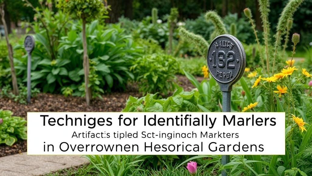
Techniques for Identifying Artifact Markers in Overgrown Historical Gardens
Historical gardens, rich with cultural and botanical heritage, often present a unique challenge for archaeologists, historians, and conservationists. Overgrown landscapes can obscure artifact markers, making it difficult to identify and preserve historical features. This article outlines various techniques for identifying these markers within such gardens, integrating methods from archaeology and landscape restoration to achieve effective results.
Understanding Artifact Markers
Artifact markers are physical remnants from the past that provide insight into the historical use and significance of a site. In the context of gardens, these can include pathways, planting beds, decorative features, and remnants of structures. Investigating these artifacts requires a systematic approach to overcome challenges posed by vegetation growth and soil disturbance.
Field Surveys
Conducting field surveys is a foundational technique in identifying artifact markers. These surveys can be both visual and instrumental, requiring careful planning and execution.
- Visual Inspection: Beginning with a walk-through of the garden helps assess its overall condition. Special attention should be given to unusual textures, changes in soil color, and plant health, as these may hint at underlying structures or artifacts.
- Vegetation Analysis: Understand the types of plants present, as certain herbs or flowers may indicate specific historical periods or uses, such as medicinal gardens or ornamental horticulture.
A case study from the historic garden of the 18th-century estate in Virginia illustrates the importance of thorough visual inspections. Archaeologists employed detailed assessments of the plant species present, ultimately identifying a section of the garden that aligned with relict planting patterns of the colonial period.
Geophysical Methods
Geophysical techniques have become increasingly sophisticated, allowing researchers to uncover below-ground artifacts with minimal disturbance to the landscape.
- Ground Penetrating Radar (GPR): This non-invasive method allows for the imaging of subterranean structures. GPR can detect anomalies in soil density and moisture, providing insight into where pathways or buried features may exist.
- Magnetometry: Measuring variations in the Earths magnetic field can reveal features such as pits and walls, which may differ in magnetic properties from their surroundings.
An instance of GPR usage occurred at a historic garden in France, where archaeologists successfully mapped out a series of buried paths and outbuildings that had been lost to time and vegetation.
Soil Analysis
Soil analysis can yield significant information regarding historical land use and identify artifact markers. This method involves examining soil layers for organic material, differences in composition, and evidence of past cultivation.
- Stratigraphic Analysis: Examining the layers of soil can provide chronological insights into the use and development of the garden. Distinct layers can indicate periods of cultivation and abandonment.
- Phosphate Testing: Elevated phosphate levels in soil often indicate past human activity, such as areas where plants were regularly cultivated or composted.
In a project focused on an 18th-century botanical garden in England, soil phosphate levels were crucial in identifying the layout and composition of the original planting beds, which had remained buried under layers of debris and overgrowth.
Remote Sensing Technologies
Remote sensing technologies can identify potential artifact markers from a distance, significantly broadening the scope of archaeological research in overgrown environments.
- Aerial Photography: Drones equipped with high-resolution cameras can capture detailed imagery of gardens, revealing patterns and structures that may not be visible from the ground.
- LiDAR (Light Detection and Ranging): By using laser scanning from aerial platforms, LiDAR can create precise, three-dimensional models of landscapes, even penetrating vegetation. This technology has been instrumental in revealing the layout of ancient gardens and plazas obscured by trees.
A notable example includes the use of LiDAR in uncovering the intricate layout of buried gardens in Central America, previously thought lost beneath dense jungle growth.
Collaboration with Botanists and Historians
Engaging with botanists and historians can enhance the identification of artifact markers in historical gardens. Knowledge from these experts can provide context and facilitate accurate interpretations of the landscape.
- Botanical Identification: Understanding the plant species used historically provides clues about gardening techniques and plant arrangements that can lead to the discovery of earlier pathways or enclosures.
- Historical Documentation Review: Examining historical texts, photographs, and maps can guide the identification process, allowing for a targeted approach in certain areas of the garden.
At a historical estate in Scotland, collaboration with historians led to the discovery of a forgotten pond, supported by historical documents that had detailed the original garden layout and features.
Conclusion and Actionable Takeaways
Identifying artifact markers in overgrown historical gardens requires a combination of methods ranging from field surveys to advanced technologies. By employing these techniques collaboratively, archaeologists and historians can uncover critical insights into the past, ultimately aiding in the conservation and restoration of these culturally significant landscapes.
To successfully implement these identification techniques, consider the following actionable takeaways:
- Conduct thorough visual inspections and surveys of the garden to identify potential markers.
- Use geophysical methods such as GPR and magnetometry to locate underground artifacts.
- Engage with soil analysis to uncover stratigraphic and chemical evidence of historical use.
- Incorporate remote sensing technologies to enhance visibility and mapping of the site.
- Collaborate with experts in botany and history to enrich the identification process.
By following these comprehensive approaches, professionals can effectively identify and preserve the historical value embedded within overgrown gardens, ensuring that these spaces continue to tell their stories for generations to come.


