Techniques for Detecting in Areas With Sparse Vegetation and High Sun Exposure
Techniques for Detecting in Areas With Sparse Vegetation and High Sun Exposure
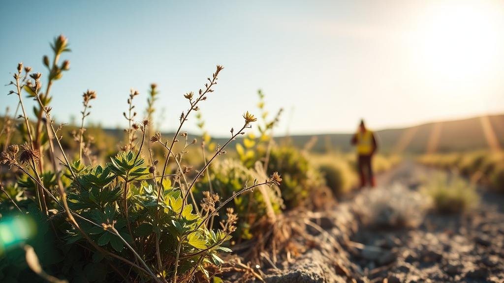
Detecting various environmental and geological features in areas with sparse vegetation and high sun exposure poses unique challenges. Such environments, often characterized by deserts, rocky terrains, or arid regions, require specialized techniques to ensure accuracy and reliability in data collection. This article explores the effective strategies used in these contexts, focusing on remote sensing, ground-based surveys, and innovative technologies.
Remote Sensing Techniques
Remote sensing is the acquisition of information about an object or area from a distance, typically using satellite or aerial imagery. In areas with sparse vegetation and high sun exposure, remote sensing offers a suite of tools that can effectively mitigate the challenges posed by environmental conditions.
- Satellite Imagery: High-resolution satellite imagery allows for the detailed observation of land surfaces. For example, the Landsat 8 satellite captures multispectral data, which can be analyzed to identify different surface materials, monitor vegetation changes, and assess land use. Studies show that Landsat imagery can achieve a classification accuracy of over 85% in arid regions.
- Aerial Photography: Unmanned Aerial Vehicles (UAVs) equipped with high-definition cameras can capture high-resolution images for detailed analysis. A case study in a desert environment demonstrated how UAVs provided detailed topographical data, crucial for mapping small-scale landforms that larger satellites cannot detect.
Ground-Based Survey Techniques
While remote sensing provides broad spatial coverage, ground-based surveys are essential for validating remote observations and obtaining high precision data. Several techniques can be employed in such settings:
- Geophysical Surveys: Methods such as ground-penetrating radar (GPR) and electrical resistivity tomography (ERT) can be instrumental in detecting subsurface features. These techniques have been successfully used in arid regions to identify buried archaeological sites and geological formations.
- Soil Sampling: Collecting soil samples provides critical information on nutrient levels and soil composition. In regions with patchy vegetation, targeted soil sampling can offer insights that remote sensing might miss. For example, soil salinity levels in desert areas have been effectively mapped to determine potential agricultural zones.
Innovative Technologies
Advancements in technology are ushering in new techniques for detection and monitoring in challenging environments. Notably, some innovative methods include:
- LiDAR (Light Detection and Ranging): This remote sensing method uses laser light to measure distances to the Earth, providing detailed three-dimensional information about the terrain. LiDAR has been used in sparse vegetation areas to penetrate through canopies and assess ground topography effectively.
- Thermal Imaging: In high sun exposure areas, thermal cameras can detect surface temperature variations, which help identify different materials and moisture levels. For example, thermal imaging has been employed in desert environments to locate water bodies and assess drought conditions, providing valuable data for environmental management.
Challenges and Limitations
Despite the effectiveness of these techniques, several challenges remain in detecting features in areas with sparse vegetation and high sun exposure. Some key concerns include:
- Data Resolution: The quality and resolution of satellite imagery can vary, impacting the accuracy of detections. Areas with sparse vegetation may present fewer visual features for accurate analysis.
- Interference from Environmental Factors: High sun exposure can create shadows and heat distortions that affect reading accuracy, particularly in thermal and optical imaging.
Real-World Applications
The application of these detection techniques has proven critical in various real-world scenarios:
- Natural Resource Management: Remote sensing and geophysical surveys have been used to locate and assess mineral deposits, crucial for mining industries in arid regions.
- Urban Planning: High-resolution imagery helps planners identify suitable sites for development in areas with minimal vegetation, ensuring efficient land use.
Conclusion and Actionable Takeaways
Detecting features in areas with sparse vegetation and high sun exposure necessitates a combination of remote sensing, ground-based surveys, and modern technologies. By integrating these approaches, researchers and professionals can obtain comprehensive data that inform critical decisions. Future developments in technology, including enhanced satellite capabilities and improved ground-based techniques, are likely to further refine these detection methods, leading to more effective resource management and environmental protection.
For practitioners in the field, it is essential to remain updated on the latest advancements and consider multi-faceted approaches when conducting surveys in challenging environments. Careful planning and execution of detection techniques will facilitate more accurate and insightful environmental assessments.


