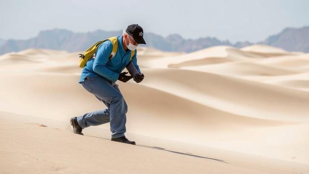
Techniques for Detecting in Areas With Shifting Sand Dunes and Changing Landscapes
Techniques for Detecting in Areas With Shifting Sand Dunes and Changing Landscapes
Shifting sand dunes and dynamic landscapes present unique challenges for environmental monitoring and surveying. The unpredictability of these terrains can hinder traditional detection techniques, making it crucial to adopt advanced methodologies. This article explores several techniques employed to detect and analyze features in areas characterized by sand mobility and changing topography.
Remote Sensing Technologies
Remote sensing has revolutionized the way researchers observe and gather data from shifting landscapes. By using satellites and aerial photography, scientists can capture large areas and identify various features without needing to physically traverse the terrain.
- Satellite Imagery: High-resolution satellite images from platforms like NASA’s Landsat program allow researchers to monitor changes over time. For example, studies have effectively utilized Landsat imagery to assess vegetation cover changes around sand dune areas, which indicates shifting dune patterns.
- Lidar Technology: Light Detection and Ranging (Lidar) offers precise topographical mapping. This method can penetrate vegetation cover to create detailed three-dimensional models of coastal dunes, helping researchers to track alterations in dune morphology with high accuracy.
In-Situ Measurements
In-situ (on-site) measurements remain vital for gaining a deeper understanding of shifting dunes physical characteristics. Various field techniques provide critical data to complement remote observations.
- GPS Surveying: Global Positioning Systems (GPS) are invaluable when mapping and studying the movement of sand dunes. For example, continuous GPS stations have been used in places like the Great Sand Dunes National Park to quantify shifts in dune location.
- Instrumentation for Sand Movement: Sensors that measure wind speed and direction can help explain shifting sand dynamics. By installing these devices along dunes, researchers have established correlations between wind events and subsequent changes in dune positions.
Geophysical Methods
Geophysical methods employing ground-penetrating radar (GPR) or electrical resistivity imaging provide significant insights into subsurface conditions and dune structures, which can be pertinent in these shifting areas.
- Ground-Penetrating Radar (GPR): This technique can assess dune stratigraphy and sediment composition effectively, critical for understanding migration patterns. Researchers have successfully used GPR to reveal internal features of dunes that are not visible on the surface, as demonstrated in studies across the coastal dunes of Australia.
- Electrical Resistivity: By measuring the electrical properties of the sand and underlying substrates, researchers can assess moisture levels and grain sizes, which are pivotal for predicting the stability of the dunes.
Modeling and Simulation Techniques
Modeling techniques provide predictive capabilities that are essential in areas of active landform change. Numerical modeling helps analyze and forecast the impacts of various environmental factors on sand dune migration.
- Computational Fluid Dynamics: This modeling technique simulates how wind interacts with the landscape, applying principles of physics to understand sand transport mechanisms better. Such models have been instrumental in deciphering the relationship between wind patterns and dune formation.
- Landscape Evolution Models: These models assist researchers in predicting how landscapes will evolve over time due to processes like erosion and sediment deposition. have been applied effectively in regions like the Sahara Desert to estimate potential changes under varying climate scenarios.
Case Studies and Real-World Applications
Useing these techniques has led to significant findings and applications in real-world contexts. Case studies illustrate how these methodologies have contributed to our understanding of shifting sand dunes.
- Case Study: The Namib Desert, Namibia: Researchers utilized remote sensing, coupled with in-situ measurements, to evaluate the impacts of climate change on dune migration rates. Insights gained have informed conservation strategies for local ecosystems that depend on stable sand formations.
- Case Study: Kuwaits Emerald Dunes: In Kuwait, a combination of GPR and satellite imaging was used to explore the internal structures of dunes, leading to enhanced understanding of water infiltration rates, crucial for local agriculture.
Conclusion and Actionable Takeaways
Detecting and analyzing areas with shifting sand dunes and changing landscapes involves a multifaceted approach that integrates remote sensing, in-situ measurements, geophysical methods, and modeling techniques. Each of these methodologies offers distinct advantages, and their combined application allows for a comprehensive understanding of dune dynamics.
For practitioners in the field, it is essential to:
- Leverage a combination of remote sensing and in-situ techniques for accurate monitoring.
- Use geophysical methods for deeper insights into subsurface characteristics.
- Engage in predictive modeling to forecast landscape changes and inform land management strategies.
By adopting these techniques, environmental scientists, geologists, and land managers can gain critical insights that enhance our understanding of these unique landscapes amid a constantly shifting environment.


