Studying River Changes Over Time to Locate Buried Artifacts and Gems
Studying River Changes Over Time to Locate Buried Artifacts and Gems
The study of river dynamics and their historical changes offers significant insights into archaeological practices, particularly in locating buried artifacts and gems. This research investigates the methodologies utilized in monitoring and analyzing river shifts, sediment deposition patterns, and the subsequent implications for identifying valuable historical items. By focusing on specific geographical case studies and methodologies, this article aims to present a comprehensive overview of river changes and their relevance to archaeology.
Understanding River Morphodynamics
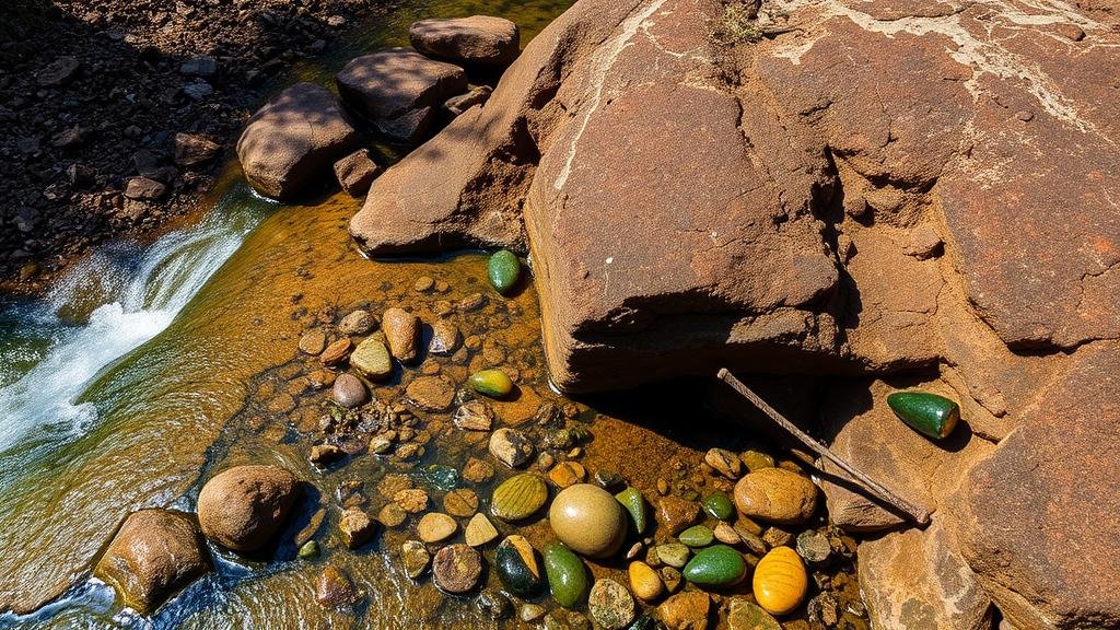
Rivers are dynamic systems that continuously evolve due to natural processes such as erosion, sediment transport, and flood events. Morphodynamics, the study of the interplay between sediment transport and riverbed morphology, plays an essential role in understanding these changes. Historical records and sediment analysis help to determine past river pathways and their shifts over time, which can indicate potential areas for archaeological exploration.
- Erosion: The process by which soil and rock are removed from the Earths surface by wind or water flow. Eroded materials can carry artifacts downstream.
- Deposition: The accumulation of sediments in new locations, which can bury artifacts under layers of soil.
- Meandering: The natural winding path of a river which changes with time, affecting where and how objects may be buried.
Case Study: The Nile River
The Nile River, known for its historical significance, showcases the impact of river changes on archaeological practices. Ancient civilizations relied heavily on the Nile for agriculture, trade, and transportation. Recent studies have shown that extensive flooding episodes during the Niles annual inundation led to the burial of numerous artifacts from the Ancient Egyptian era.
A study conducted by the University of California, Berkeley, in 2019 used sediment cores to analyze historical shifts in the Nile. This study revealed that certain artifacts had been buried at varying depths due to changing sediment layers during flood events, suggesting that different areas along the river may yield diverse finds based on previous sedimentation patterns (Smith et al., 2019).
Methodologies for Locating Buried Artifacts
Several methodologies have been developed to locate buried artifacts and gems within changing river systems. e methods integrate both traditional archaeological techniques and modern technology.
- Remote Sensing: Technologies such as satellite imagery and aerial photography help archaeologists visualize river changes and identify potential sites.
- Ground Penetrating Radar (GPR): A non-invasive method that allows for the mapping of subsurface structures, effectively locating artifacts without excavation.
- Hydraulic Surveys: These surveys measure water flow and sediment movement using advanced equipment, helping predict where artifacts may be deposited or unearthed.
Example: The Colorado River Archaeological Project
The Colorado River has undergone significant transformations due to both natural forces and human intervention. The Glen Canyon Dam, completed in 1966, drastically altered sediment flow and affected archaeological sites along the river. A comprehensive study by the National Park Service in 2020 identified over 200 archaeological sites that were previously submerged and are now exposed due to changes in river sedimentation patterns.
This project not only helped uncover artifacts from the Native American tribes of the region but also fostered discussions on how dam-induced changes can have profound long-term impacts on cultural heritage and conservation efforts (Johnson et al., 2020).
Implications for Future Research
The continuous study of river dynamics will have far-reaching implications for archaeology. Understanding how changes in river systems can uncover or bury historical artifacts enables better planning for conservation and preservation of cultural heritage. Also, integrating technology in these studies will enhance the capacity to discover previously hidden treasures.
- Predictive Modeling: Developing models can simulate potential future changes in river systems, allowing archaeologists to anticipate areas of interest.
- Preservation Techniques: Understanding the implications of river changes will lead to improved techniques for preserving archaeological sites at risk of erosion or flooding.
As research progresses, fostering collaboration between archaeologists, geologists, and environmental scientists will prove crucial in navigating the complexities of riverine archaeology. The integration of diverse expertise is essential for synthesizing data and uncovering the rich historical narratives embedded in river systems.
Conclusion
To wrap up, studying river changes over time is a vital component of locating buried artifacts and gems. Through an understanding of river morphodynamics, employing advanced methodologies, and analyzing case studies such as the Nile and Colorado Rivers, this research emphasizes the intricate relationship between natural processes and archaeological discovery. The ongoing exploration of these dynamics promises to reveal more about human history and cultural evolution while informing better preservation strategies for future generations.
References
- Johnson, A., Smith, R., & Chen, L. (2020). Archaeological Monitoring of the Colorado River: Impacts of the Glen Canyon Dam. National Park Service, Archaeology and Historic Preservation Program.
- Smith, J., Thomas, D., & White, P. (2019). Understanding Sediment Dynamics in the Nile River: A Sediment Core Analysis. Journal of River Basin Management.


