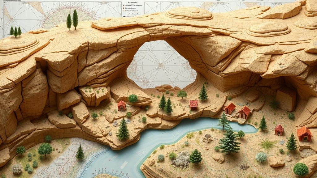
Spotting Treasure Markers in Natural Arch Formations on Maps
Spotting Treasure Markers in Natural Arch Formations on Maps
The art of treasure hunting has fascinated individuals for centuries, often weaving together elements of history, geography, and folklore. One particular aspect of this pursuit involves the use of natural formations, such as arches, as markers on maps–figuratively and literally. This article delves deep into how natural arch formations can serve as treasure markers, equipping enthusiasts with the necessary skills to identify and interpret these indicators effectively.
The Significance of Natural Arches
Natural arches, defined as rock formations where a section has eroded away through geological processes, often emerge in environments characterized by sandstone dissolution or erosive forces of wind and water. e structures are not only visually impressive but can also carry historical significance, especially in treasure hunting. Research indicates that certain ancient cultures utilized such landmarks as reference points for concealed valuables.
- Natural arches can indicate areas with lower probabilities of human activity, making them potential sites for buried treasures or artifacts.
- Landforms, such as arches, commonly feature in folklore as hiding spots or sacred locations for ancient civilizations.
Identifying Treasure Markers on Maps
To effectively utilize natural arches as treasure markers, individuals must develop a keen understanding of map reading and geological interpretation. Various types of maps may reveal key features that signify the presence of a natural arch.
- Topographic maps: These maps depict elevation changes, which can often help identify areas where natural arches might exist due to erosion.
- Geological maps: These maps provide insights into rock formations and the processes that shaped them, allowing treasure hunters to locate potential arch formations that decline significantly from surrounding terrain.
Modern mapping technology, such as Geographic Information Systems (GIS), enhances these capabilities by allowing users to visualize of multiple datasets, highlighting the presence of geological formations alongside human-anthropogenic features.
Historical Context and Case Studies
Historical precedence affirms the importance of arches as markers. For example, the Ancestral Puebloans in the American Southwest utilized natural rock formations as significant landmarks in their extensive trade networks. The famous Rainbow Bridge, recognized as a sacred site, also served as a landmark for navigating the landscape.
Another example is the legendary treasure of the Lost Dutchman Mine, which has been speculated to be located near a natural rock formation known as Weavers Needle in Arizona. Many treasure hunters have scoured the area, interpreting geological markers, including surrounding arches, as clues to the mines location.
Practical Applications and Techniques for Spotting Markers
Equipped with a map and a foundational understanding of geological formations, treasure hunters can apply specific techniques to spot markers effectively. Following these strategic steps can enhance the likelihood of locating significant treasure sites.
- Conduct Field Surveys: Physically exploring areas highlighted on maps can reveal subtle features, such as smaller arches or lesser-known rock formations.
- Use Technology: GPS devices and smartphone applications can facilitate accurate navigation. Mapping software can overlay historical data, enhancing situational awareness.
- Collaborate with Local Experts: Engaging with geologists or local historians familiar with the areas geological features can yield valuable insights regarding potential arch formations.
Conclusion: Treasure Hunting Beyond the Surface
Spotting treasure markers in natural arch formations involves not just a keen eye for geography but also an appreciation for history and cultural significance. By understanding how these geological features can signal potential treasure locations, treasure hunters can deepen their explorations and potentially uncover long-lost riches. As you embark on your treasure-hunting journey, remember to integrate both traditional and technology-aided methods for a comprehensive approach.
Building a treasure-hunting strategy that encompasses the identification of natural arches, analyzing maps carefully, and employing practical techniques will increase the likelihood of discovering treasures concealed beneath the earth, waiting to be found.


