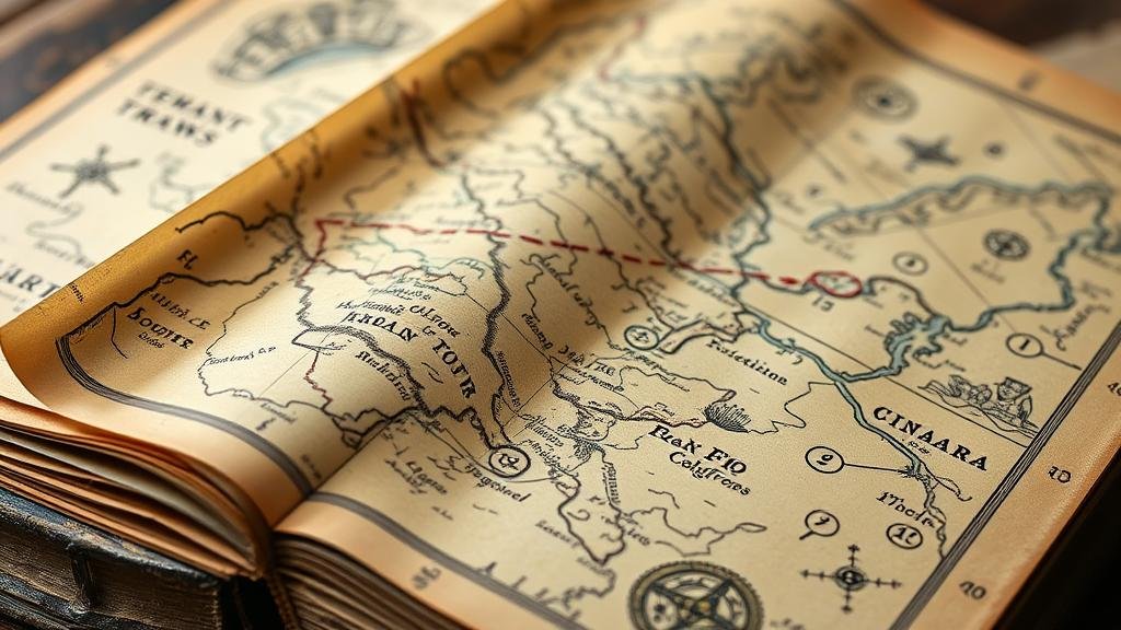
Spotting Overlooked Clues in Treasure Maps Found in Old Books
Spotting Overlooked Clues in Treasure Maps Found in Old Books
Treasure maps have long intrigued adventurers, historians, and enthusiasts alike. Hidden amidst the pages of old books, these maps often contain clues that are overlooked by even the most seasoned treasure hunters. This article aims to elucidate the methods for identifying these rarely noticed cues, diving into historical context, analysis techniques, and practical applications for todays treasure seekers.
The Historical Context of Treasure Maps
Treasure maps frequently stem from periods when exploration and conquest were at their zenith, particularly during the 16th to 18th centuries. Pioneers and explorers used these maps not just for navigation but as coded documents to protect their findings. For example, the map used by the infamous pirate Captain Kidd is illustrative of the intricate designs and hidden meanings embedded within treasure cartography.
The allure of hidden treasures has not waned. With historians increasingly turning to old books for insights into past explorations, it is imperative to understand how to read these maps thoroughly. might be wrapped in layers of symbolism, historical references, and even metaphorical imagery all pointing to undiscovered riches.
Decoding the Language of Treasure Maps
The first step in uncovering clues within treasure maps is understanding the specific terminology and symbols used during the era in which the map was created. Often, treasure maps employ an array of symbols, legends, and even artistic flourishes to communicate information.
- Old Nautical Terms: Terms such as bearing and latitude were commonly used to indicate specific locations. Familiarity with these can reveal exact points of interest.
- Cartographic Symbols: Mountains may indicate nearby resources, while water bodies are frequently depicted. Recognizing these symbols can provide hints about the surrounding landscape.
For example, the famous Vinland Map, a disputed artifact that supposedly depicts a part of North America as known by the Vikings, illustrates how symbols can mislead or inform. Clues such as the positioning of land masses in relation to the depicted ocean currents can yield significant insight into actual geographic locations.
Analyzing Textual Elements
Also to the visual clues presented by maps, the textual elements, if available, can provide valuable information. These often include notes by previous owners, measurements, or even mythological references that could guide treasure hunters toward the treasures location.
- Margin Notes: Many old maps may contain annotations made by prior owners that can provide context or additional instructions.
- Historical References: Citations to historical events or landmarks can serve as alternate routes or points of reference to the treasure.
An excellent case in point is the work of Frederick W. W. Herschel, who published maps during the American Revolutionary War. His annotations provided insights into troop movements that could lead to hidden caches of weapons and supplies, demonstrating how alterations in context could change the interpretation of a map significantly.
The Importance of Cross-Referencing
Once potential clues have been extracted, cross-referencing with known historical data is crucial. This involves comparing the map against contemporary records, historical events, or other documented expeditions. Using tools such as GIS (Geographic Information Systems) has made this analysis more attainable.
- GIS Technology: Modern technology allows treasure hunters to overlay historical maps on current terrains, providing a tangible way to identify possible locations.
- Archival Research: Investigation in local archives can reveal additional information that confirms or denies the viability of potential treasure sites.
In practice, a treasure hunter might use GIS to compare a treasure map with current geographical features, revealing areas of land erosion or sediment shifts that could affect the treasures whereabouts.
Developing a Treasure Searching Strategy
Upon gathering clues and verifying them through research, developing an actionable strategy for searching becomes essential. Here are some steps to consider:
- Scout the Area: Visit potential locations indicated on the map and take note of the landscape, flora, and fauna.
- Use Metal Detectors: If clues indicate buried artifacts, investing in quality metal detectors can expedite the search.
- Document Findings: Keep meticulous records of where clues align and diverge to refine future searches.
A contemporary example can be seen in the work of treasure hunters looking for the fabled Lost Dutchman Mine in Arizona. Utilizing both historical maps and modern technology, groups have combed the Superstition Mountains, unveiling numerous artifacts along the way.
Conclusion: The Reward of Diligence and Research
Unraveling the mystery of treasure maps found in old books requires sharp analytical skills and a willingness to dive deep into historical and geographical research. By recognizing symbols, analyzing text, cross-referencing with historical accounts, and employing modern technologies, treasure seekers can significantly enhance their chances of finding valuable caches. The pursuit of treasure is not merely about the end goal; the journey of discovery, research, and adventure provides its own form of treasure.
To wrap up, whether one is a history buff, a casual explorer, or a seasoned treasure hunter, the insights discussed in this article will aid in revealing the hidden gems contained within the treasure maps nestled in antiquarian books.


