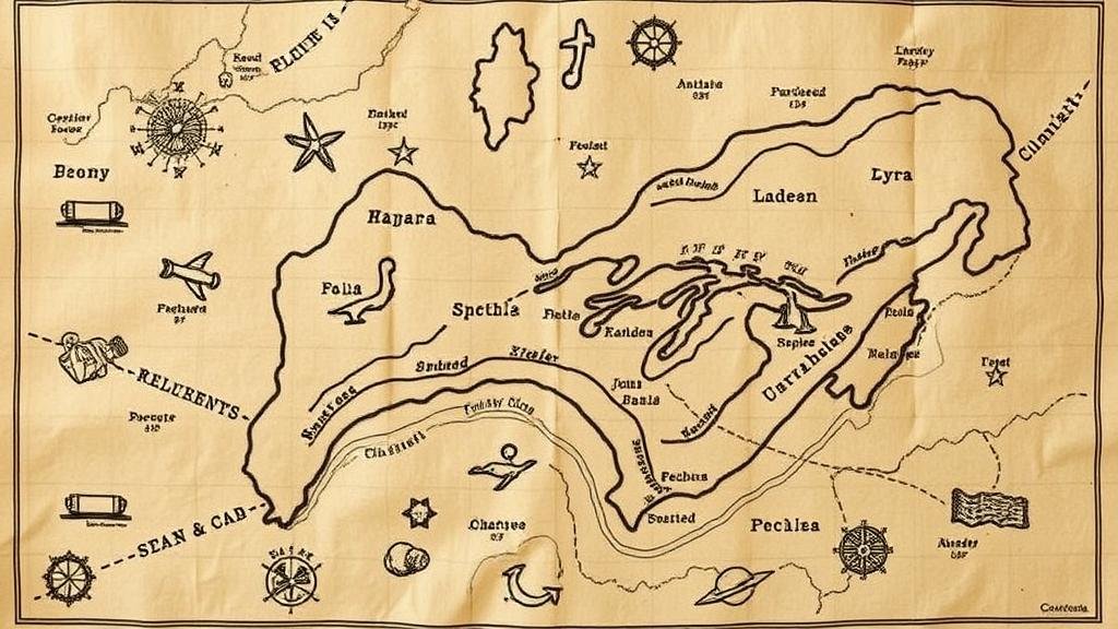
Spotting Key Geological Features Marked on Hand-Drawn Treasure Maps
Spotting Key Geological Features Marked on Hand-Drawn Treasure Maps
Hand-drawn treasure maps have fascinated adventurers and historians alike for centuries. These maps often serve as both an artistic representation and a navigational aid, guiding treasure seekers to hidden riches. One of the critical skills in interpreting these maps is the ability to spot geological features that can significantly enhance a treasure hunters understanding of the area. By analyzing the annotations on the map and matching them with real-world geological traits, one can gain crucial insights into the potential success of a treasure hunt.
The Importance of Geological Features in Treasure Maps
Geological features are integral to the understanding of a regions landscape and resources. They can indicate the presence of minerals, water sources, and even archaeological sites. Hand-drawn treasure maps often highlight these features, which can include:
- Rivers and streams
- Mountains and hills
- Forests and dales
- Rocks, cliffs, and caves
For example, a treasure map indicating proximity to a river may suggest the historical significance of trade routes, while a nearby mountain might indicate potential sites of ancient mining activities. Understanding the context of these features enables treasure hunters to make informed decisions about where to dig.
Common Geological Features and Their Implications
In the realm of treasure maps, various geological features can provide invaluable clues. Here are a few commonly observed features alongside their possible implications:
- Rivers and Waterways: Water often plays a pivotal role in human settlement and commerce. Treasure maps that mark water bodies could indicate areas where treasures were cached, such as goods lost during transport or items buried for safekeeping. Historical examples include the buried gold along the banks of the Colorado River referenced in several local legends.
- Elevation Changes: Mountains and hills can signify areas of historical significance, often associated with mining or shelter. For example, the famous lost Dutchman’s gold mine in Arizona is believed to be located in the Superstition Mountains.
- Vegetation Patterns: Dense forests can hide entrances to caves or ancient burial sites. The diverse flora can also provide clues about the soil conditions and potential resources in the vicinity.
- Rock Formations: Unique rock structures, such as arches or spires, may serve as landmarks referenced in treasure maps. For example, the distinctive rock formations in the Joshua Tree National Park have been noted in various treasure legends.
Analyzing Map Annotations
Understanding the cartographic symbols often used on treasure maps is crucial for accurately interpreting geological features. Hand-drawn maps may employ a range of symbols and notations, including:
- Circles: These often indicate places of interest, such as caches or landmarks.
- Lines: Straight or curved lines may be used to represent paths, rivers, or property boundaries.
- Shading: Darker shading could denote elevated areas like hills or mountains.
Many maps use a combination of these symbols to create a narrative about the landscape. For example, a river depicted as a wavy line with circles along its banks might suggest multiple points of interest to investigate.
Real-World Applications and Case Studies
Various explorers have successfully utilized geological features to locate treasures. One notable case is the discovery of gold in California during the 1849 Gold Rush. Maps drawn by miners often highlighted river systems and hills that proved fruitful for finding gold deposits. Similarly, in the search for the infamous Oak Island treasure, researchers have continuously analyzed geological features such as swamp land and coastal lines to uncover clues about potential treasure locations.
Potential Questions and Concerns
While the allure of treasure hunting is tantalizing, there are practical considerations to keep in mind, such as:
- Legal Restrictions: Many areas may have regulations or restrictions on treasure hunting, particularly in national parks or protected sites.
- Environmental Concerns: Digging can lead to significant ecological impact; hence awareness of local wildlife and plant life is vital.
It is important for treasure hunters to respect local laws and the environment while pursuing their quests.
Actionable Takeaways
When interpreting hand-drawn treasure maps, several strategies can enhance your chances of success:
- Study geological features carefully and correlate them with your map.
- Use modern technology, like GPS and mapping software, to complement your analysis.
- Research local history to understand the significance of the locations marked on your map.
By following these guidelines, treasure hunters can not only enhance their understanding of geological features but also improve their chances of uncovering hidden treasures. This blend of historical insight and geological awareness is invaluable in the enduring pursuit of adventure and discovery.


