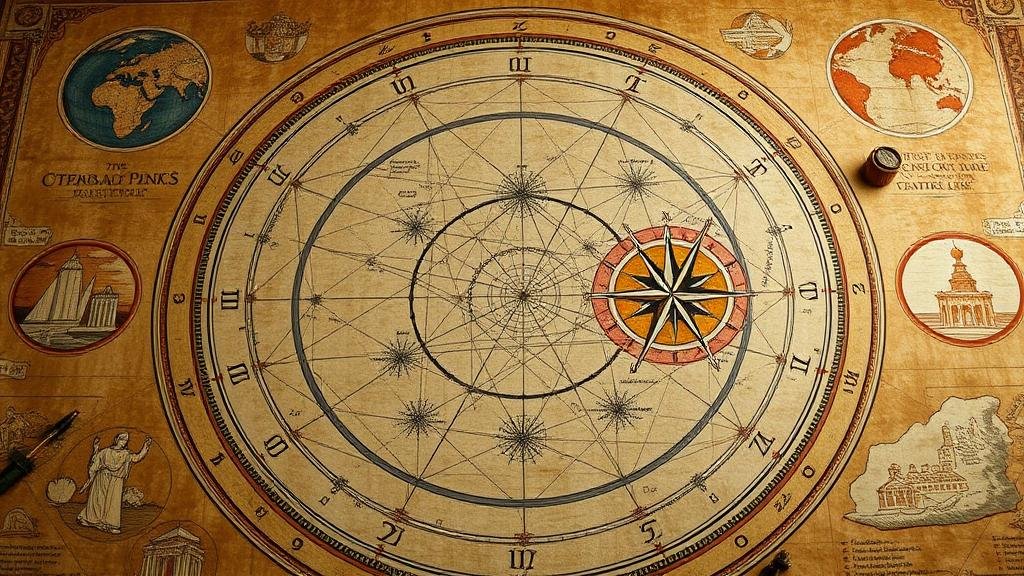
Reconstructing ancient star maps to locate forgotten temples and cities.
Reconstructing Ancient Star Maps to Locate Forgotten Temples and Cities
In the vast and mysterious realms of archaeology and astronomy, the intersection of ancient star maps and lost civilizations emerges as a fascinating narrative that transcends time. This practice, involving the reconstruction of celestial navigation systems, serves as a key to unlocking the hidden histories of forgotten temples and cities across the globe.
The Significance of Star Maps in Ancient Civilizations
Throughout history, various civilizations have relied on the stars for navigation, agricultural planning, and spiritual rituals. Cultures such as the Mayans, the Egyptians, and the Indians cultivated extensive astronomical knowledge. For example, the ancient Egyptians employed a stellar alignment in their construction of the Pyramids, which were oriented to specific stars like Sirius, associated with their goddess Isis. Such alignments not only showcase intricate architectural skills but also reflect deep cultural significance linked to their understanding of the cosmos.
Modern Techniques in Reconstructing Star Maps
Recent advancements in technology and interdisciplinary methodologies have revolutionized our ability to interpret ancient star maps. Scholars and archaeologists utilize a combination of techniques, including:
- Digital Mapping: Software applications can analyze historical texts alongside geographical features to pinpoint ancient locations.
- Satellite Imagery: High-resolution images facilitate the identification of structures that are hard to see from the ground, such as the remains of the ancient city of Teotihuacan in Mexico.
- Archaeological Evidence: Excavations provide physical proof to support celestial alignments, as seen in the Great Temple of Amun at Karnak, Egypt, which is aligned with the heliacal rising of Sirius.
Case Studies: Ancient Star Maps Leading to Discovery
Numerous notable discoveries in archaeology spring from the study of celestial navigation. Below are two prominent examples:
Mayan Civilization and the Temple of Kukulcán
In Chichen Itza, Mexico, the Temple of Kukulcán, also known as El Castillo, demonstrates remarkable astronomical precision. The structure is designed to cast a shadow resembling a serpent during the equinox, guiding the community’s agricultural practices. The careful observation of star patterns allowed the Mayans to align this sacred site to celestial events, enabling researchers to reconstruct a calendar system that reflected the cycles of sun and moon.
Finding Petra: The Role of Astronomy
Petra, the ancient city carved into the rocks of Jordan, was rediscovered in the early 19th century. Recent studies employing reconstructed star maps suggest that the Nabataeans utilized celestial bodies to orient their city and significant structures within it, such as the Al-Khazneh. This orientation toward specific stars illustrates the sophistication of Nabataean astronomy and its influence over urban planning.
Challenges and Limitations
Despite the exciting possibilities, reconstructing ancient star maps is fraught with challenges. One key hurdle is the scarcity of accurate historical records; many ancient texts have been lost or remain undeciphered. Also, the precession of the equinoxes–phenomena where the position of stars shifts over millennia–complicates alignment calculations. Researchers must often rely on approximations and educated guesses to fill in the gaps.
Also, environmental factors such as weathering and urbanization can obscure archaeological sites, making it difficult to establish concrete relationships between celestial alignment and terrestrial structures. For example, ancient ruins in areas currently experiencing significant industrial development may not be fully accessible for study.
Actionable Takeaways
For enthusiasts of archaeology, history, and astronomy alike, the exploration of ancient star maps offers a rich avenue for discovery. Here are some actionable steps to deepen your understanding:
- Read historical texts: Explore ancient writings that reference celestial navigation, such as the Popol Vuh of the Maya or the astronomical treaties of ancient Greeks.
- Engage with technology: Use apps and software that provide simulations of historical skies to understand ancient cultures’ perspectives on astronomy.
- Participate in local archaeology workshops: Gain hands-on experience in excavation and analysis to appreciate the complexities of finding and studying ancient sites.
In summary, the practice of reconstructing ancient star maps is not merely about improving our geographical understanding; it encapsulates the stories of civilizations that once thrived, guided by the stars. By piecing together these celestial clues, we can unearth lost temples and cities, allowing us to reconnect with our planets rich history.


