Recognizing Misaligned Landmarks on Maps That Lead to Hidden Treasures
Recognizing Misaligned Landmarks on Maps That Lead to Hidden Treasures
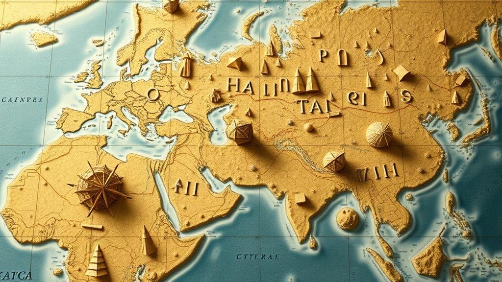
The allure of hidden treasures has captivated minds for centuries, with tales of pirate loot and lost artifacts whispering through history. But, the maps that guide treasure hunters to these troves can often be misleading. Misaligned landmarks on maps can lead novice adventurers astray, while simultaneously obscuring the true locations of treasures. This article aims to provide in-depth insights into recognizing these misaligned landmarks, understanding their implications, and leveraging them to uncover hidden treasures.
The Importance of Accurate Mapping
Accurate maps are crucial for navigation and exploration. They serve not only as guides but also as historical records that reflect the geographical understanding of a particular period. But, inaccuracies in mapping–be they intentional or unintentional–can significantly alter a treasure hunters quest.
- Historical Errors: Maps from certain eras, such as the age of exploration, often contained exaggerated illustrations and erroneous coordinates. For example, early European maps depicted fantastical creatures and lands that did not exist.
- Technological Limitations: In the past, cartographers lacked the advanced tools and technology available today. This often led to skewed representations of landforms and features. The use of sextants and crude triangulation techniques contributed to these inaccuracies.
Identifying Misaligned Landmarks
Misaligned landmarks can be classified into various categories, each requiring a unique approach for identification. e misalignments can stem from various sources including historical inaccuracies, changes in the environment, or human error.
- Natural Changes: Erosion, sediment deposition, and seismic activity can alter the physical landscape. For example, rivers may change course over time, rendering previous landmarks obsolete.
- Human Intervention: Infrastructure projects can drastically change an areas geography. Deforestation, urban development, or construction of dams can lead to landmarks disappearing or shifting. A prime example is the shifting landscapes in the delta regions due to both natural and anthropogenic influences.
The Role of Technology in Mapping
Today, technology plays a pivotal role in enhancing the accuracy of maps and identifying discrepancies. Geographic Information Systems (GIS), remote sensing, and crowd-sourced mapping platforms such as OpenStreetMap have revolutionized how we view and interpret geographical data.
- GIS: GIS technology allows for the layering of various data sets, enabling users to visualize changes in geography over time. This is particularly useful in integrating historical maps with contemporary data.
- Remote Sensing: Satellites provide high-resolution imagery that can reveal changes in landscapes that may not be apparent on traditional maps. An example can be seen in Google Earth, where users can compare images from different time periods to identify landmark changes.
Case Studies: Misaligned Landmarks Leading to Hidden Treasures
Throughout history, numerous treasure hunts have succeeded or failed due to the misalignment of landmarks. Two noteworthy case studies illustrate this phenomenon:
- The Gold of the El Dorado: Various explorers were misled by maps depicting mythical cities of gold. Due to misjudgment of landmarks such as mountains and rivers, many expeditions failed, while those who relied on local knowledge often found leads that were not apparent on their maps.
- Oaks in the Spanish Treasure Fleet: In the early 1700s, a fleet carrying gold and silver sank near the Florida coast. Misinterpreted navigation maps led to years of searching in incorrect locations. Only when new mapping techniques were employed did explorers finally locate the wreck.
Best Practices in Treasure Hunting
For aspiring treasure hunters, recognizing and navigating misaligned landmarks effectively can make the difference between success and failure. Here are several best practices:
- Cross-Verification: Always cross-reference maps with multiple sources. Use recent topographical maps alongside historical ones to identify discrepancies.
- Local Knowledge: Engaging with local historians or communities can provide invaluable insights that may not be documented in mainstream historical texts.
- Technological Tools: Invest in GIS and remote sensing tools to verify locations and visualize changes over time.
Conclusion: A Treasure Awaits
Recognizing misaligned landmarks on maps is an essential skill for any treasure hunter. By understanding historical mapping inaccuracies, leveraging technological advancements, and employing diligent research practices, adventurers can navigate the complexities of land-based exploration. A treasure may be hidden, but with the right tools and knowledge, it can be revealed, waiting to be unearthed.


