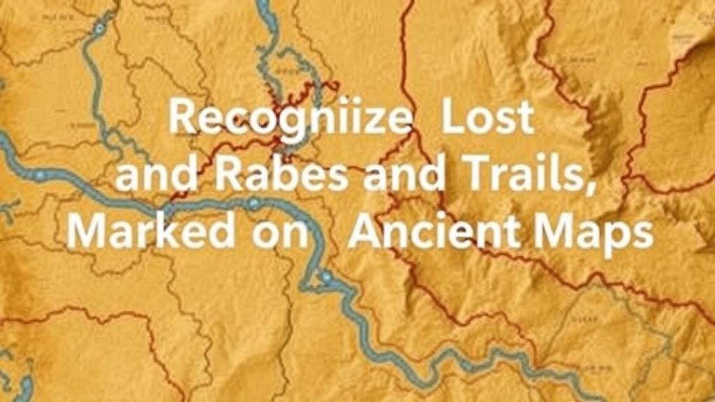
Recognizing Lost River Beds and Trails Marked on Ancient Maps
Recognizing Lost River Beds and Trails Marked on Ancient Maps
The exploration of ancient maps provides a profound understanding of historical geography, particularly in relation to lost river beds and trails that shaped civilizations. These maps serve not only as fragments of artistry but also as valuable resources for modern researchers, offering insights into the hydrological and navigational patterns of past societies. Recognizing these features involves a combination of cartographic analysis, archaeological research, and environmental studies.
The Historical Context of Ancient Mapping
Ancient maps were developed in various cultures, including the Greeks, Romans, and indigenous civilizations. were more than just navigational tools; they often reflected the worldview and cultural values of their creators. For example, the Tabula Rogeriana, created in 1154 by Arab geographer Muhammad al-Idrisi, meticulously depicted river systems that were integral to trade and agriculture in the Mediterranean region.
The historical significance of these maps cannot be understated. Rivers were vital sources of water and transport, and many settlements were established along their banks. Understanding how ancient cultures mapped these rivers helps us recognize their historical importance and environmental roles.
Identifying Lost River Beds
Lost river beds, or dry river channels, can often be discerned through both ancient maps and modern satellite imagery. These channels may have once supported flowing rivers that have since dried up due to climate change, geological shifts, or human interference. Recognizing these features involves examining the following:
- Historical Accounts: Ancient texts and maps can provide descriptions of rivers that are no longer visible. For example, the Limes, an ancient Roman border, is known to have had sophisticated water management systems that included canals often reflected in contemporary mapping.
- Sediment Analysis: Geoscientists often use sediment cores to analyze soil deposits that indicate former waterways, providing a physical record of river courses that existed in the past.
- Remote Sensing Technology: Satellite images and LiDAR (Light Detection and Ranging) are used today to visualize subsurface topography and recognize ancient river beds that may be obscured by vegetation or modern development.
Case Studies: Lost River Systems
Several notable examples of lost river systems illustrate the relationship between ancient mapping and contemporary research:
- The Aral Sea Basin: Once home to one of the world’s largest freshwater lakes, the flow of the Amu Darya and Syr Darya rivers was extensively documented in ancient maps. Over-extraction and mismanagement have caused these rivers to recede dramatically, leading to the lakes near disappearance.
- The Missouri Rivers Historical Path: Early maps from the 18th century revealed a much different course for the Missouri River. Historical analysis combined with modern-day geology has allowed for the identification of the former paths of this significant waterway.
Trails Marked on Ancient Maps
Ancient roadways and trails, often depicted alongside rivers, highlight the crucial link between trade, migration, and resource distribution. recognition of these trails can provide insights into the socio-economic frameworks of ancient societies. The following elements are key to understanding these ancient pathways:
- Trail Mapping Techniques: Archaeological surveys often reveal remnants of pathways, such as worn soil or artifacts embedded along the routes. The Inca Road system, for example, gives insight into the extensive connectivity of the Andean cultures.
- Comparative Cartography: By examining various ancient maps and comparing them to modern topographies, researchers can ascertain shifts in trails due to natural disasters or urban development.
Integration of Ancient and Modern Techniques
The combination of traditional archaeological approaches with cutting-edge technology enhances the ability to locate and understand lost river beds and trails from ancient maps. integration of Geographic Information Systems (GIS) allows researchers to analyse spatial relationships and visualize changes over time. Also, participatory mapping involving local communities aids in documenting oral histories that may not be represented in written records.
Challenges and Considerations
Despite advancements, recognizing lost river beds and ancient trails remains a complex endeavor. Researchers face several challenges:
- Environmental Changes: Climate change impacts water courses and sedimentation processes, complicating the task of identifying ancient river paths.
- Access to Data: Many ancient maps are inaccessible or fragmented, making it difficult to form a comprehensive view of water systems. Collaboration across disciplines helps to mitigate this issue.
Conclusion: The Importance of Recognizing Lost River Beds and Trails
Recognizing lost river beds and trails marked on ancient maps is essential for understanding past civilizations, their interaction with the environment, and the changes that have occurred over time. This recognition not only sheds light on historical geography but also informs contemporary debates on water management, conservation, and urban planning. By bridging the knowledge of ancient cartography with modern scientific techniques, we can unlock the mysteries of our historical landscapes and foster greater awareness of our environmental legacies.
Actionable Takeaways
For researchers and enthusiasts in the field of historical geography, the following actionable steps can be taken to further understand lost river beds and ancient trails:
- Engage in field studies that incorporate both archaeological survey techniques and environmental analysis.
- Use GIS and remote sensing tools to visualize and analyze historical maps in conjunction with current geospatial data.
- Collaborate with local communities to enrich historical narratives that inform about ancient practices and water systems.


